Home
States
Colorado
Connecticut
Maine
Massachusetts
New Hampshire
New York
Rhode Island
Utah
Vermont
View All
Lists
NE 4,000 Footers
NE 100 Highest
NH 4,000 Footers
NH 100 Highest
NH 52 With A View
NH Belknap Range
NH Ossipee 10
Links
Trail Conditions
Trip Log
Sunrises
Sunsets
About
|
Mt. Osceola, Mt. Osceola (East Peak)
Livermore, NH, Lincoln, NH
Trailheads, measurements, times, distances, and maps are all approximate and relative to the hike(s) as shown below.
Mt. Osceola Trail to Mt. Osceola
Route: Tripoli Road, Mt. Osceola Trail
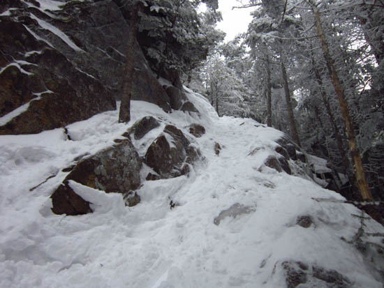
Slow trailbreaking from the groomed Tripoli Road to the summit of Mt. Osceola
| Hike Ratings |
|
Getting To Trailhead: |
Difficult |
| Destination: |
Mt. Osceola |
|
Length: |
Difficult |
|
Steepness: |
Moderate |
|
Navigation: |
Moderate |
|
Views: |
Excellent |
|
Crowds: |
Minimal |
| Destination: |
Mt. Osceola (East Peak) |
|
Length: |
Difficult |
|
Steepness: |
Very Difficult |
|
Navigation: |
Easy |
|
Views: |
Excellent |
|
Crowds: |
Moderate |
|
| Hike Stats |
|
Date Hiked: |
Sunday, March 4, 2012 |
| Parking Elevation: |
2,340' |
| Time To Trailhead: |
01:06 |
| Destination: |
Mt. Osceola |
| Time Elapsed: |
03:07 |
| Trailhead Elevation: |
2,340' |
| Summit Elevation: |
4,340' |
| Distance: |
3.2 miles |
| Vertical Gain: |
2,090' |
| Destination: |
Mt. Osceola (East Peak) |
| Time Elapsed: |
00:43 |
| Trailhead Elevation: |
4,340' |
| Summit Elevation: |
4,156' |
| Distance: |
1 mile |
| Vertical Gain: |
386' |
|
|
| Hike Time Elapsed: |
09:28 |
| Hike Vertical Gain: |
3,981' |
|

Mt. Osceola Trail trailhead at the Tripoli Road parking lot

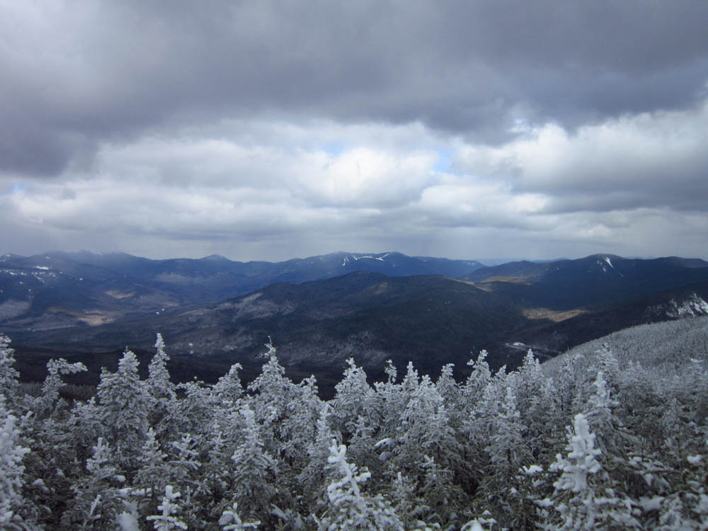
Looking at the Bonds from the Mt. Osceola ledges
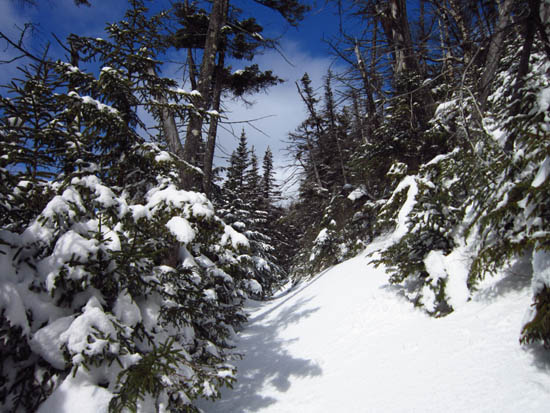
The Mt. Osceola Trail between Mt. Osceola and the East Peak

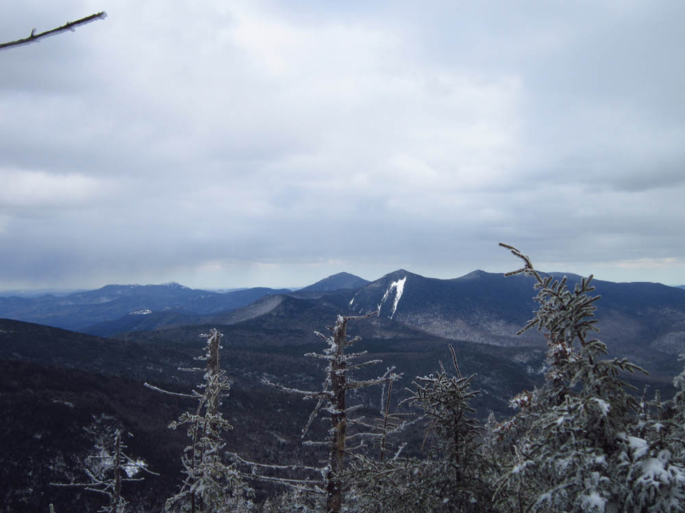
Looking at Chocorua, Mt. Passaconaway, and North Tripyramid from near the summit of the East Peak of Mt. Osceola
Directions to trailhead: Take Tripoli Road from the Waterville Valley ski area entrance to Livermore Road. The Livermore WMNF fee parking lot is on the left, just after passing the seasonally closed portion of Tripoli Road.
Back to Mt. Osceola Profile
Back to Mt. Osceola (East Peak) Profile
|