Home
States
Colorado
Connecticut
Maine
Massachusetts
New Hampshire
New York
Rhode Island
Utah
Vermont
View All
Lists
NE 4,000 Footers
NE 100 Highest
NH 4,000 Footers
NH 100 Highest
NH 52 With A View
NH Belknap Range
NH Ossipee 10
Links
Trail Conditions
Trip Log
Sunrises
Sunsets
About
|
Mt. Osceola, Mt. Osceola (Middle Peak)
Livermore, NH, Lincoln, NH
Trailheads, measurements, times, distances, and maps are all approximate and relative to the hike(s) as shown below.
Mt. Osceola Trail to Mt. Osceola
Route: Mt. Osceola Trail, (Mt. Osceola), Mt. Osceola Trail, herd path, (Middle Osceola), herd path, Mt. Osceola Trail
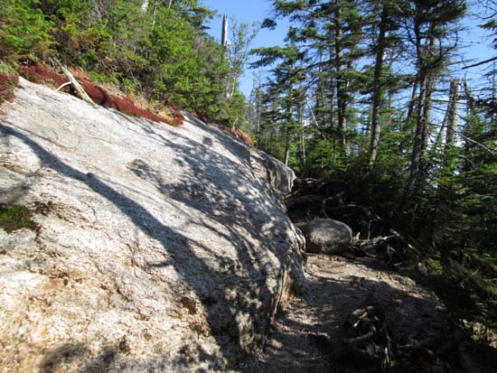
Trail was generally dry with some areas of wet ledge.
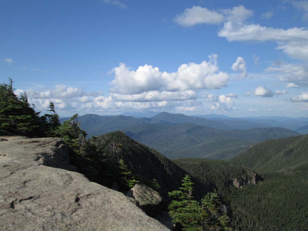
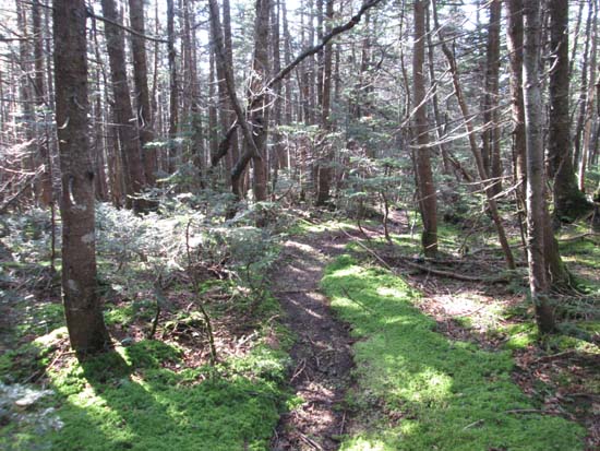
For Middle Osceola, I followed the abandoned trail (descends toward Middle Osceola from the top switchback on the Mt. Osceola Trail, about 4,200 feet in elevation). The abandoned trail is pretty easy to follow down to the col, about 0.2 miles. Old communications wire presents a tripping hazard if not careful. Once roughly in the col, the old trail starts to drop down diagonally, while some herd paths head to the right, initially in the col, then upward. In places there are two unique herd paths about 50 feet apart, but neither are prominent trails. Some views through the trees along the way and two quasi scrambles (the first is a legitimate short scramble, but if you cut to your right, there's a way around it). The highpoint to me seemed to be on the western side of the top contour, but I didn't find any canister or sign. Less than 100 feet to the west of this (short bushwhack), there is a fantastic view from a cliff, ranging from the Franconia Ridge to West Osceola to Tecumseh to Sandwich Dome. I believe there also may be a view not too far down the eastern shoulder (from what I could see from the Dogleg Slide a few weeks ago), but I didn't research it enough ahead of time. Overall, the distance from the Mt. Osceola Trail to the summit of Middle Osceola was just under 0.4 miles.
| Hike Ratings |
|
Getting To Trailhead: |
Easy |
| Destination: |
Mt. Osceola |
|
Length: |
Moderate |
|
Steepness: |
Moderate |
|
Navigation: |
Easy |
|
Views: |
Excellent |
|
Crowds: |
Heavy |
| Destination: |
Mt. Osceola (Middle Peak) |
|
Length: |
Moderate |
|
Steepness: |
Difficult |
|
Navigation: |
Difficult |
|
Views: |
Excellent |
|
Crowds: |
Minimal |
|
| Hike Stats |
|
Date Hiked: |
Friday, August 8, 2014 |
| Parking Elevation: |
2,340' |
| Destination: |
Mt. Osceola |
| Time Elapsed: |
00:59 |
| Trailhead Elevation: |
2,340' |
| Summit Elevation: |
4,340' |
| Distance: |
3.2 miles |
| Vertical Gain: |
2,090' |
| Destination: |
Mt. Osceola (East Peak) |
| Time Elapsed: |
00:22 |
| Trailhead Elevation: |
4,340' |
| Summit Elevation: |
4,220' |
| Vertical Gain: |
120' |
|
|
| Hike Time Elapsed: |
03:14 |
| Hike Vertical Gain: |
2,400' |
|
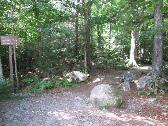
Mt. Osceola Trail trailhead at the Tripoli Road parking lot

Looking toward Mt. Washington from the Mt. Osceola ledges
The abandoned trail on the way to the col between Osceola and Middle Osceola
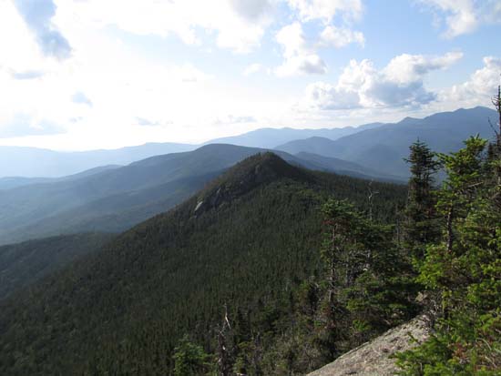
Looking at West Osceola from the Middle Osceola cliffs
Directions to trailhead: From Waterville Valley, take Tripoli Road (bear right at the entrance to the ski area) to the top of the gap. Just after the road turns from pavement from dirt, the Mt. Osceola WMNF fee parking lot appears on the right. The trailhead is located at the back of the parking lot.
Back to Mt. Osceola Profile
Back to Mt. Osceola (Middle Peak) Profile
|