Home
States
Colorado
Connecticut
Maine
Massachusetts
New Hampshire
New York
Rhode Island
Utah
Vermont
View All
Lists
NE 4,000 Footers
NE 100 Highest
NH 4,000 Footers
NH 100 Highest
NH 52 With A View
NH Belknap Range
NH Ossipee 10
Links
Trail Conditions
Trip Log
Sunrises
Sunsets
About
|
Mt. Parker
Bartlett, NH
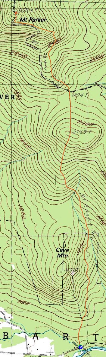
Trailheads, measurements, times, distances, and maps are all approximate and relative to the hike(s) as shown below.
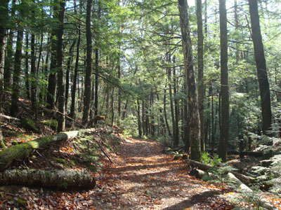
Looking down the Mount Langdon Trail
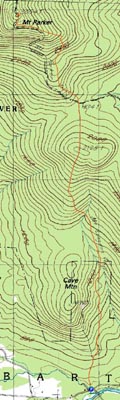
Route: Mount Langdon Trail, Mt. Parker Trail, (Mt. Parker), Mt. Parker Trail, Mount Langdon Trail
Since the forecast looked to have a short break of sunshine in it, I decided to wait for the opening and head up for a moderate length hike.
Arriving at the small parking area, I quickly set foot up the Mount Langdon Trail. While the lower portion was muddy in places, it was in decent shape after the first brook crossing.
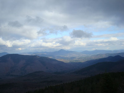
The trail was fairly moderate, with the exception of a short steep section on either side of Oak Ridge. While it was sunny at the trailhead, by the time I reached Mt. Parker, things were looking rather cloudy.
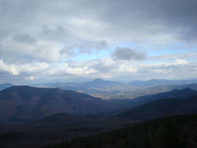
While the views from the summit were tremendous (especially with Iron Mountain and Kearsarge North Mountain towering from the valley), I suspect it would be even better had the peaks to the west and north been visible.
After loitering awhile at the summit, I started to get a chill in my bones, so I headed down, cutting up blowdowns as I descended.
As I reached the trailhead, the sun started to break through again - a welcome sight after days of clouds and rain.
| Hike Ratings |
|
Getting To Trailhead: |
Easy |
| Destination: |
Mt. Parker |
|
Length: |
Moderate |
|
Steepness: |
Difficult |
|
Navigation: |
Easy |
|
Views: |
Excellent |
|
Crowds: |
Minimal |
|
| Hike Stats |
|
Date Hiked: |
Sunday, November 9, 2008 |
| Hike Commenced: |
11:22 AM |
| Parking Elevation: |
700' |
| Destination: |
Mt. Parker |
| Ascent Commenced: |
11:22 AM |
| Summit Reached: |
1:05 PM |
| Time Elapsed: |
01:43 |
| Trailhead Elevation: |
700' |
| Summit Elevation: |
3,004' |
| Distance: |
3.9 miles |
| Vertical Gain: |
2,680' |
|
|
| Hike Ended: |
3:05 PM |
| Hike Time Elapsed: |
03:43 |
| Hike Distance: |
7.8 miles |
| Hike Vertical Gain: |
3,056' |
|
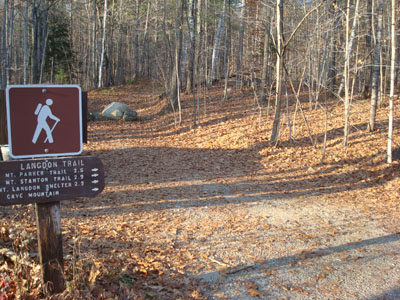
The Mount Langdon Trail trailhead
Looking at Kearsarge North Mountain from the Mt. Parker summit

Directions to trailhead: Take Route 302 west from North Conway. In downtown Barlett, take a right at the blinking light (Bear Notch Road is on the left). After crossing the river, the Mount Langdon Trail trailhead and small parking lot are located diagonally to the left.
Back to Mt. Parker Profile
|