Home
States
Colorado
Connecticut
Maine
Massachusetts
New Hampshire
New York
Rhode Island
Utah
Vermont
View All
Lists
NE 4,000 Footers
NE 100 Highest
NH 4,000 Footers
NH 100 Highest
NH 52 With A View
NH Belknap Range
NH Ossipee 10
Links
Trail Conditions
Trip Log
Sunrises
Sunsets
About
|
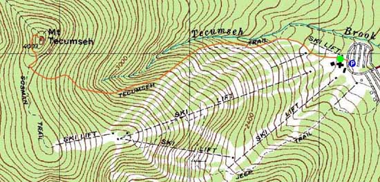
Mt. Tecumseh
Waterville Valley, NH
Trailheads, measurements, times, distances, and maps are all approximate and relative to the hike(s) as shown below.
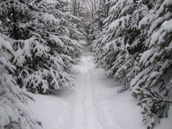
Looking down the Mt. Tecumseh Trail
Route: Lower Periphery, The Boneyard, Mt. Tecumseh Trail, Sosman Trail, (summit), Sosman Trail, Mt. Tecumseh Trail, The Boneyard, Lower Periphery
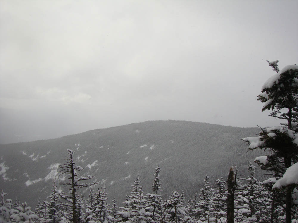
Day two of spring cleaning. There was another 1-3" of powder on top of Monday's powder. Snow flurries moved in as I neared the summit, resulting in minimal views. Temperatures then dropped and the winds started to pick up.
| Hike Ratings |
|
Getting To Trailhead: |
Easy |
| Destination: |
Mt. Tecumseh |
|
Length: |
Moderate |
|
Steepness: |
Difficult |
|
Navigation: |
Easy |
|
Views: |
Excellent |
|
Crowds: |
Heavy |
|
| Hike Stats |
|
Date Hiked: |
Thursday, March 24, 2011 |
| Hike Commenced: |
3:40 PM |
| Parking Elevation: |
1,840' |
| Destination: |
Mt. Tecumseh |
| Ascent Commenced: |
3:45 PM |
| Summit Reached: |
4:47 PM |
| Time Elapsed: |
01:02 |
| Trailhead Elevation: |
1,870' |
| Summit Elevation: |
4,003' |
| Vertical Gain: |
2,143' |
|
|
| Hike Ended: |
7:19 PM |
| Hike Time Elapsed: |
03:39 |
| Hike Vertical Gain: |
2,183' |
|
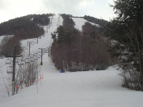
The bottom of the Lower Periphery ski trail
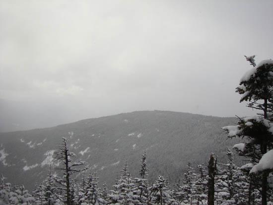
Looking at West Tecumseh from near the summit of Mt. Tecumseh

Back to Mt. Tecumseh Profile
|