Home
States
Colorado
Connecticut
Maine
Massachusetts
New Hampshire
New York
Rhode Island
Utah
Vermont
View All
Lists
NE 4,000 Footers
NE 100 Highest
NH 4,000 Footers
NH 100 Highest
NH 52 With A View
NH Belknap Range
NH Ossipee 10
Links
Trail Conditions
Trip Log
Sunrises
Sunsets
About
|
Mt. Tecumseh
Waterville Valley, NH
Trailheads, measurements, times, distances, and maps are all approximate and relative to the hike(s) as shown below.
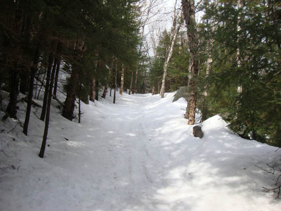
Looking up the Mt. Tecumseh Trail
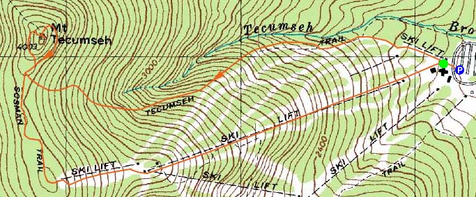
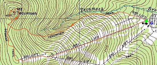
Route: The Pasture, Lower Periphery, The Boneyard, Mt. Tecumseh Trail, Sosman Trail, (summit), Mt. Tecumseh Trail, Sosman Trail, various ski trails
A bit more spring cleaning on the Mt. Tecumseh trail. For the descent, we headed down the still top-to-bottom covered ski area, amongst many skiers.
| Hike Ratings |
|
Getting To Trailhead: |
Easy |
| Destination: |
Mt. Tecumseh |
|
Length: |
Moderate |
|
Steepness: |
Difficult |
|
Navigation: |
Easy |
|
Views: |
Excellent |
|
Crowds: |
Heavy |
|
| Hike Stats |
|
Date Hiked: |
Sunday, April 24, 2011 |
| Time to Trailhead: |
00:04 |
| Parking Elevation: |
1,840' |
| Destination: |
Mt. Tecumseh |
| Time Elapsed: |
02:13 |
| Trailhead Elevation: |
1,870' |
| Summit Elevation: |
4,003' |
| Vertical Gain: |
2,143' |
|
|
| Hike Time Elapsed: |
04:27 |
| Hike Vertical Gain: |
2,278' |
|
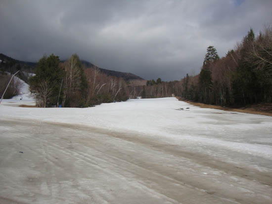
The bottom of the Pasture ski trail
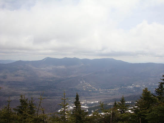
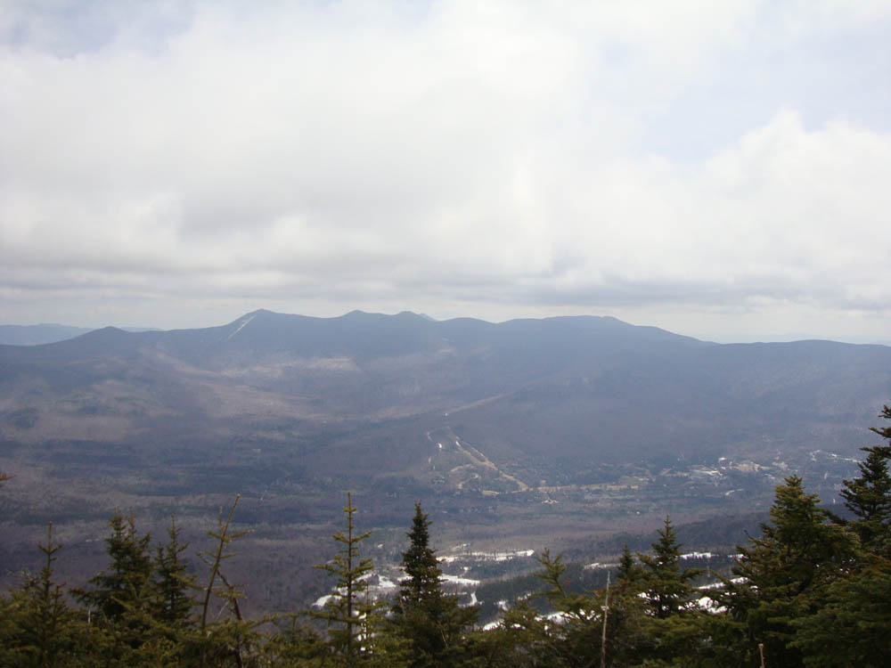
Looking at the Tripyramids from Mt. Tecumseh

Back to Mt. Tecumseh Profile
|