Home
States
Colorado
Connecticut
Maine
Massachusetts
New Hampshire
New York
Rhode Island
Utah
Vermont
View All
Lists
NE 4,000 Footers
NE 100 Highest
NH 4,000 Footers
NH 100 Highest
NH 52 With A View
NH Belknap Range
NH Ossipee 10
Links
Trail Conditions
Trip Log
Sunrises
Sunsets
About
|
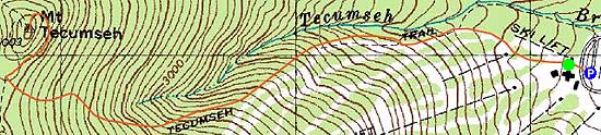
Mt. Tecumseh
Waterville Valley, NH
Trailheads, measurements, times, distances, and maps are all approximate and relative to the hike(s) as shown below.
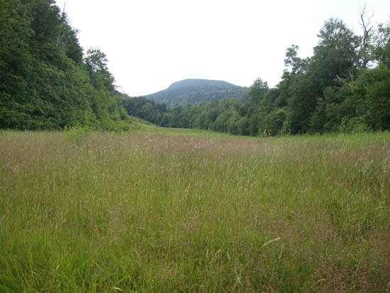
Looking up the Boneyard ski trail
Route: Ski trails, Mt. Tecumseh Trail, (summit), Mt. Tecumseh Trail, ski trails
Quick hike with some more trail cleanup. Chased down by an incoming thunder storm.
| Hike Ratings |
|
Getting To Trailhead: |
Easy |
| Destination: |
Mt. Tecumseh |
|
Length: |
Moderate |
|
Steepness: |
Difficult |
|
Navigation: |
Easy |
|
Views: |
Excellent |
|
Crowds: |
Minimal |
|
| Hike Stats |
|
Date Hiked: |
Monday, July 18, 2011 |
| Parking Elevation: |
1,840' |
| Destination: |
Mt. Tecumseh |
| Time Elapsed: |
00:45 |
| Trailhead Elevation: |
1,870' |
| Summit Elevation: |
4,003' |
| Vertical Gain: |
2,153' |
|
|
| Hike Time Elapsed: |
01:52 |
| Hike Vertical Gain: |
2,203' |
|
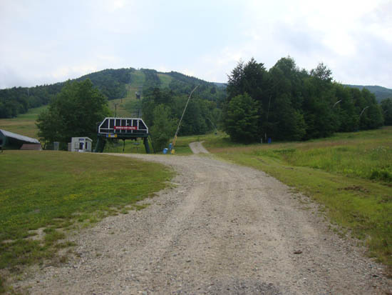
The bottom of the ski trails
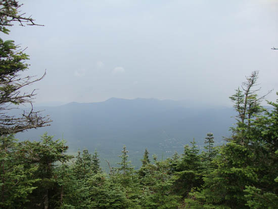
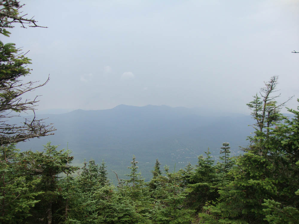
The Tripyramids as seen from Mt. Tecumseh

Back to Mt. Tecumseh Profile
|