Home
States
Colorado
Connecticut
Maine
Massachusetts
New Hampshire
New York
Rhode Island
Utah
Vermont
View All
Lists
NE 4,000 Footers
NE 100 Highest
NH 4,000 Footers
NH 100 Highest
NH 52 With A View
NH Belknap Range
NH Ossipee 10
Links
Trail Conditions
Trip Log
Sunrises
Sunsets
About
|
Mt. Tecumseh
Waterville Valley, NH
Trailheads, measurements, times, distances, and maps are all approximate and relative to the hike(s) as shown below.
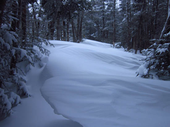
Massive drifts on the Mt. Tecumseh Trail
Massive drifts on the ridge. A rare trailbreaking hike this winter.
| Hike Ratings |
|
Getting To Trailhead: |
Easy |
| Destination: |
Mt. Tecumseh |
|
Length: |
Moderate |
|
Steepness: |
Difficult |
|
Navigation: |
Moderate |
|
Views: |
Minimal (due to weather) |
|
Crowds: |
Minimal |
|
| Hike Stats |
|
Date Hiked: |
Thursday, March 1, 2012 |
| Parking Elevation: |
1,840' |
| Destination: |
Mt. Tecumseh |
| Time Elapsed: |
01:29 |
| Trailhead Elevation: |
1,870' |
| Summit Elevation: |
4,003' |
| Vertical Gain: |
2,263' |
|
|
| Hike Time Elapsed: |
02:30 |
| Hike Vertical Gain: |
2,298' |
|
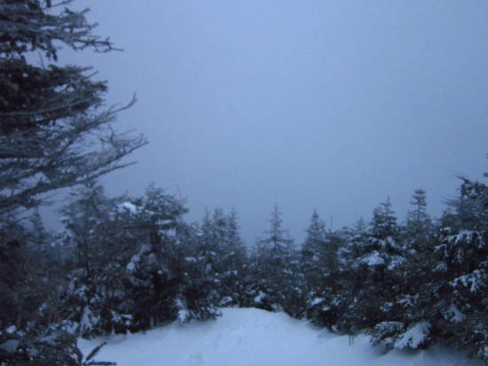
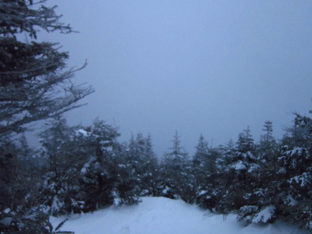
Fog as seen from Mt. Tecumseh
Back to Mt. Tecumseh Profile
|