Home
States
Colorado
Connecticut
Maine
Massachusetts
New Hampshire
New York
Rhode Island
Utah
Vermont
View All
Lists
NE 4,000 Footers
NE 100 Highest
NH 4,000 Footers
NH 100 Highest
NH 52 With A View
NH Belknap Range
NH Ossipee 10
Links
Trail Conditions
Trip Log
Sunrises
Sunsets
About
|
Orange Mountain
Alexandria, NH, Orange, NH
Trailheads, measurements, times, distances, and maps are all approximate and relative to the hike(s) as shown below.
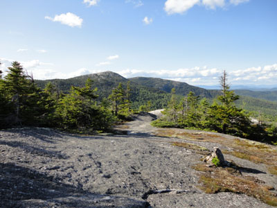
Looking down the Skyland Trail
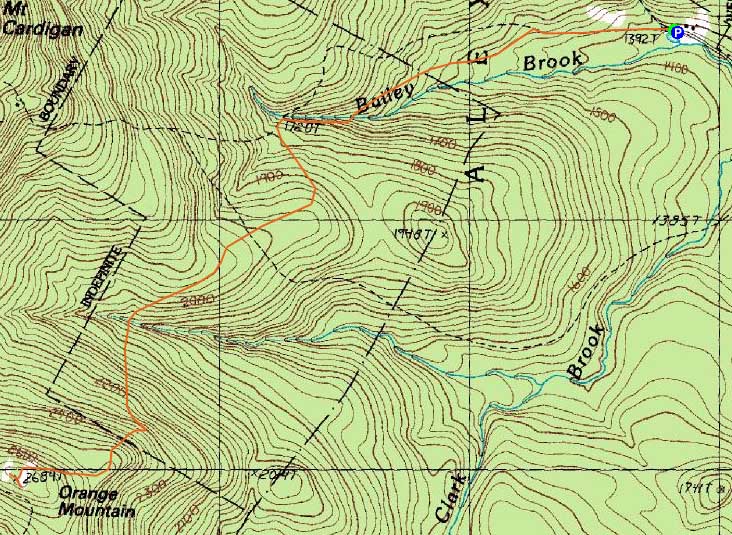
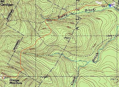
Route: Holt Trail, Holt-Clark Cutoff, Vistamont Trail, Skyland Trail, (Orange Mountain), Skyland Trail, Vistamont Trail, Holt-Clark Cutoff, Holt Trail
While I had planned to hike somewhere in the Whites, a sore back persuaded me to head west and do something a bit more gentle.
Starting from the AMC Cardigan Lodge, the Holt Trail was an easy walk up to the Croo Bridge near Grand Junction. After a short walk on the Holt-Clark Trail, I was soon on the Vistamont Trail. Other than a short, somewhat steep drop to a brook crossing, the trail was never overly steep.
Reaching the first of the ledges, I saw a critter walking down toward me. Sure enough, a porcupine was apparently finishing a day of hiking. With some constant shooing, I was able to get him to ascend and eventually move out of my way a few minutes later.
The ledge walks were progressively more impressive - views of Southern New Hampshire, then Caridgan proper, then the Whites.
After a short walk on the Skyland Trail, I reached the summit of Orange Mountain. From there, I followed a herd path to a nice southerly viewpoint. Not harassed at all by bugs, I was able to take in the views for awhile.
While I was tempted to continue to some other peaks, I opted to take it easy on my back and head back down.
| Hike Ratings |
|
Getting To Trailhead: |
Easy |
| Destination: |
Orange Mountain |
|
Length: |
Moderate |
|
Steepness: |
Moderate |
|
Navigation: |
Easy |
|
Views: |
Excellent |
|
Crowds: |
Minimal |
|
| Hike Stats |
|
Date Hiked: |
Monday, June 7, 2010 |
| Hike Commenced: |
4:27 PM |
| Parking Elevation: |
1,392' |
| Destination: |
Orange Mountain |
| Ascent Commenced: |
4:27 PM |
| Summit Reached: |
5:37 PM |
| Time Elapsed: |
01:10 |
| Trailhead Elevation: |
1,392' |
| Summit Elevation: |
2,684' |
| Distance: |
2.8 miles |
| Vertical Gain: |
1,442' |
|
|
| Hike Ended: |
6:56 PM |
| Hike Time Elapsed: |
02:29 |
| Hike Vertical Gain: |
1,592' |
|
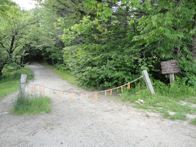
The Holt Trail trailhead
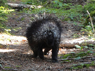
A porcupine hiking on the Vistamont Trail
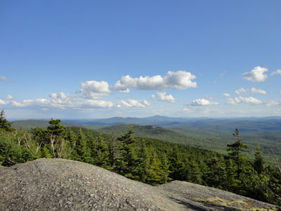
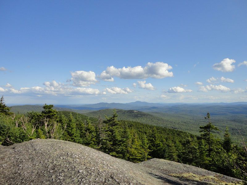
Ragged Mountain and Mt. Kearsarge as seen from near the summit of Orange Mountain

Directions to trailhead: From Bristol, take Route 3A North briefly, then take a left onto Bristol Hill Road. Eventually bear left onto Plummer Hill Road, then take a left onto Thissell Road, then take a right onto Town Pond Road. Town Pond Road eventually joins Mt. Cardigan Road. Mt. Cardigan Road becomes Shem Valley Road at a sharp turn - go straight on it. Parking is located across from the AMC facility. One can also find the AMC Lodge with more ease from Alexandria by following the AMC Lodge signs.
Back to Orange Mountain Profile
|