Home
States
Colorado
Connecticut
Maine
Massachusetts
New Hampshire
New York
Rhode Island
Utah
Vermont
View All
Lists
NE 4,000 Footers
NE 100 Highest
NH 4,000 Footers
NH 100 Highest
NH 52 With A View
NH Belknap Range
NH Ossipee 10
Links
Trail Conditions
Trip Log
Sunrises
Sunsets
About
|
Page Hill
Tamworth, NH
Trailheads, measurements, times, distances, and maps are all approximate and relative to the hike(s) as shown below.

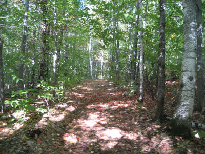
The trail to the Page Hill ledges
With some weird weather (alternating between sunny and rain, with distance thunder), I decided to do a quick hike up nearby Page Hill. While I was hoping to see some foliage, most of the trees along the trail still had green leaves.
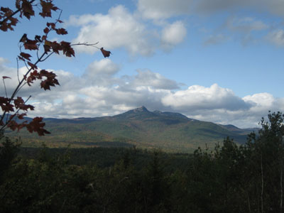
The views from the ledges were excellent as usual, with some color creeping up Mt. Whiteface, Passaconaway, and Chocorua. The Sandwich Dome appeared to be topped in some storm clouds.
| Hike Ratings |
|
Getting To Trailhead: |
Easy |
| Destination: |
Page Hill |
|
Length: |
Easy |
|
Steepness: |
Moderate |
|
Navigation: |
Moderate |
|
Views: |
Excellent |
|
Crowds: |
Minimal |
|
| Hike Stats |
|
Date Hiked: |
Thursday, October 2, 2008 |
| Hike Commenced: |
3:23 PM |
| Parking Elevation: |
840' |
| Destination: |
Page Hill |
| Ascent Commenced: |
3:33 PM |
| Summit Reached: |
4:56 PM |
| Time Elapsed: |
00:10 |
| Trailhead Elevation: |
840' |
| Summit Elevation: |
1,130' |
| Vertical Gain: |
300' |
|
|
| Hike Ended: |
3:45 PM |
| Hike Time Elapsed: |
00:22 |
| Hike Vertical Gain: |
315' |
|

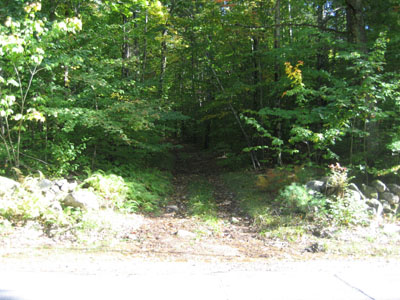
Trailhead to Page Hill on Page Hill Road

Looking north-northwest at Mt. Chocorua from near the Page Hill summit


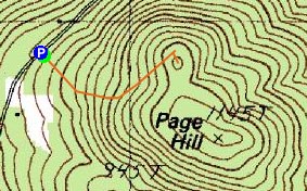
Directions to trailhead: Take Page Hill Road west from Route 16 in Chocorua. Toward the end of the high point of this road, on the left side there is a break in the stonewall and an old dirt road through it. There is some room to park on Page Hill Road's right hand shoulder.
Back to Page Hill Profile
|