Home
States
Colorado
Connecticut
Maine
Massachusetts
New Hampshire
New York
Rhode Island
Utah
Vermont
View All
Lists
NE 4,000 Footers
NE 100 Highest
NH 4,000 Footers
NH 100 Highest
NH 52 With A View
NH Belknap Range
NH Ossipee 10
Links
Trail Conditions
Trip Log
Sunrises
Sunsets
About
|
Piermont Mountain
Piermont, NH
Trailheads, measurements, times, distances, and maps are all approximate and relative to the hike(s) as shown below.
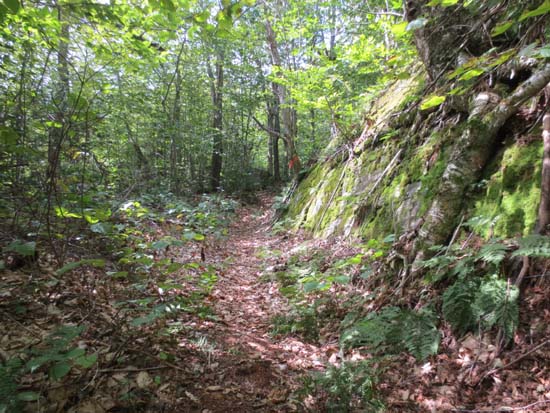
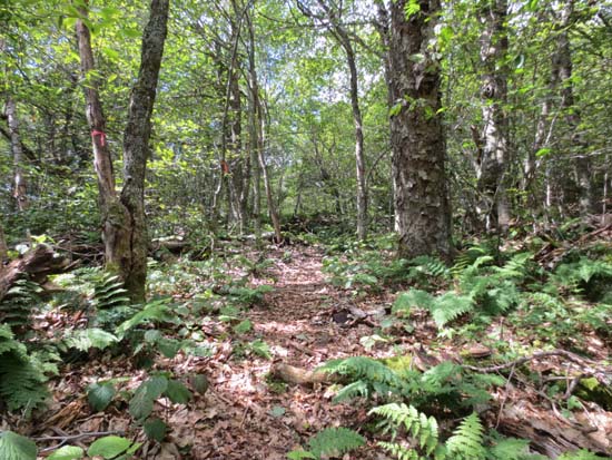
The northern trail to Piermont Mountain
Route: Unknown trail
On the ascent, the trail was mostly dry and in good shape. A few minor muddy areas. There is logging in progress about 1 mile in, disturbing the trail for maybe a quarter of a mile or so. Trail is marked with flagging tape, though. Near the top of the logging, trail pops out onto a gravel logging road, then continues uphill on the road briefly to a height of land, then leaves the road, crosses a logging cut, and re-enters the woods.
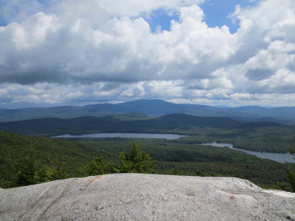
Nice views generally east from a viewpoint about half a mile before the summit, as well as from the summit ledge.
Skies opened up on the descent, complemented with the sound of thunder, making things a little wet.
| Hike Ratings |
|
Getting To Trailhead: |
Moderate |
| Destination: |
Piermont Mountain |
|
Length: |
Moderate |
|
Steepness: |
Difficult |
|
Navigation: |
Moderate |
|
Views: |
Excellent |
|
Crowds: |
Minimal |
|
| Hike Stats |
|
Date Hiked: |
Sunday, August 4, 2013 |
| Parking Elevation: |
1,371' |
| Destination: |
Piermont Mountain |
| Time Elapsed: |
00:49 |
| Trailhead Elevation: |
1,371' |
| Summit Elevation: |
2,717' |
| Distance: |
2.2 miles |
| Vertical Gain: |
1,406' |
|
|
| Hike Time Elapsed: |
01:54 |
| Hike Vertical Gain: |
1,466 |
|
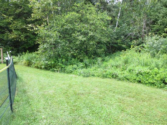
Behind the brush center-right is the trailhead
The northern trail to Piermont Mountain
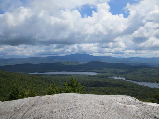
Looking northeast at Mt. Moosilauke from Piermont Mountain
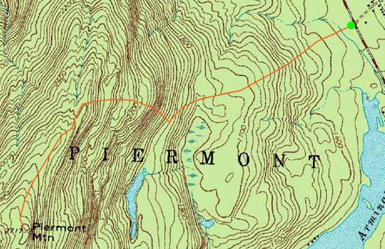

Directions to trailhead: The trail from the north starts from the leftfield of the Kingswood Camp baseball field off Route 25C. Access may be restricted, especially when camp is in session.
Back to Piermont Mountain Profile
|