Home
States
Colorado
Connecticut
Maine
Massachusetts
New Hampshire
New York
Rhode Island
Utah
Vermont
View All
Lists
NE 4,000 Footers
NE 100 Highest
NH 4,000 Footers
NH 100 Highest
NH 52 With A View
NH Belknap Range
NH Ossipee 10
Links
Trail Conditions
Trip Log
Sunrises
Sunsets
About
|
Piper Mountain
Gilford, NH
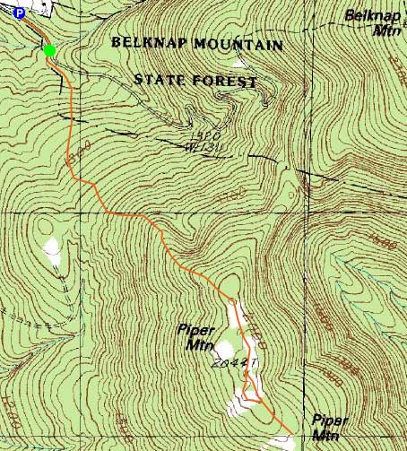
Trailheads, measurements, times, distances, and maps are all approximate and relative to the hike(s) as shown below.
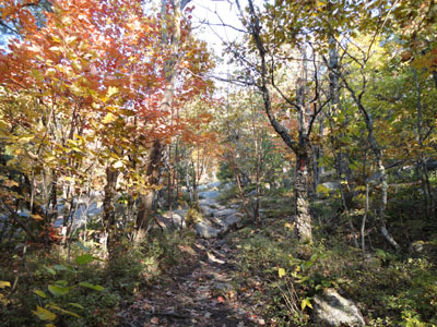
Looking up the Piper Mountain Trail
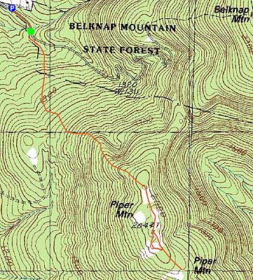
Route: Piper Mountain Trail, green blazed trail, bushwhack, green blazed trail, Piper Mountain Trail
With another nice fall day, the Belknaps looked like a good place to hike.
Starting at the Carriage Road gate, we headed up the Piper Mountain Trail. While the trail goes through softwoods in places, there was still plenty of foliage to be seen, especially along the upper ledges.
After reaching the north summit, we continued along the ridge, over the highpoint, and then to the southern ledges, where we had excellent views perhaps all the way to Massachusetts.
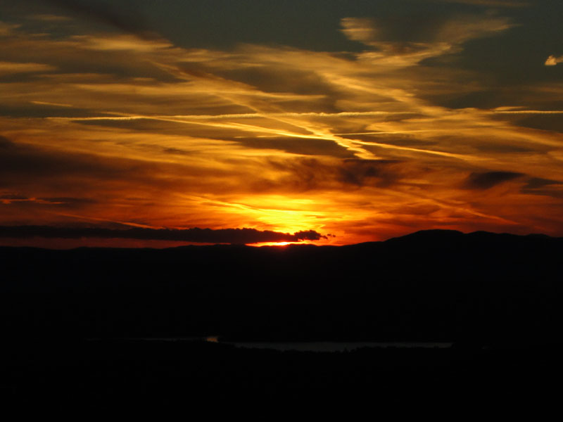
Back near the summit, we bushwhacked briefly to a ledge with a good western view. Thanks to some light clouds, the sunset was quite colorful.
For the descent, we were able to make it down the ledges prior to needing headlamps.
| Hike Ratings |
|
Getting To Trailhead: |
Easy |
| Destination: |
Piper Mountain |
|
Length: |
Moderate |
|
Steepness: |
Moderate |
|
Navigation: |
Easy |
|
Views: |
Excellent |
|
Crowds: |
Minimal |
|
| Hike Stats |
|
Date Hiked: |
Monday, October 11, 2010 |
| Hike Commenced: |
4:27 PM |
| Parking Elevation: |
1,030' |
| Destination: |
Piper Mountain |
| Ascent Commenced: |
4:29 PM |
| Summit Reached: |
5:10 PM |
| Time Elapsed: |
00:41 |
| Trailhead Elevation: |
1,010' |
| Summit Elevation: |
2,044' |
| Vertical Gain: |
1,064' |
|
|
| Hike Ended: |
7:09 PM |
| Hike Time Elapsed: |
02:42 |
| Hike Vertical Gain: |
1,264' |
|
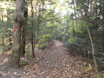
The Piper Mountain Trail trailhead on the Carriage Road
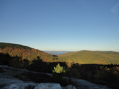
Looking toward Lake Winnipesaukee from near the Piper Mountain summit
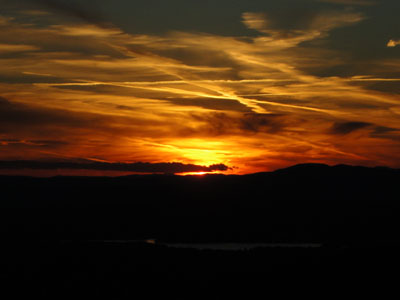
The sunset as seen from near the summit of Piper Mountain

Directions to trailhead: From Route 11A East (from Route 3), take a right on Hoyt Road. Continue down this road as it becomes Belknap Mountain Road. Look for Carriage Road on your left. There is a small parking lot just before the gate. Trailhead is down the road a bit, on the right after a small bridge.
Back to Piper Mountain Profile
|