Home
States
Colorado
Connecticut
Maine
Massachusetts
New Hampshire
New York
Rhode Island
Utah
Vermont
View All
Lists
NE 4,000 Footers
NE 100 Highest
NH 4,000 Footers
NH 100 Highest
NH 52 With A View
NH Belknap Range
NH Ossipee 10
Links
Trail Conditions
Trip Log
Sunrises
Sunsets
About
|
Piper Mountain
Gilford, NH
Trailheads, measurements, times, distances, and maps are all approximate and relative to the hike(s) as shown below.
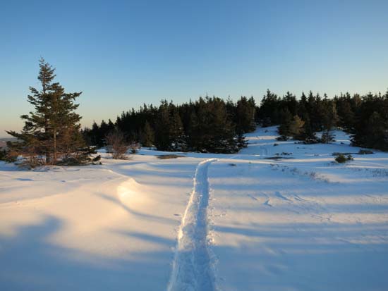
The Green Trail on Piper Mountain
Route: Piper Mountain Trail, green blazed trail, (Piper Mountain), green blazed trail, bushwhack, (Piper Mountain), green blazed trail, Piper Mountain Trail
Maybe 5-8" of powder, generally on the lower end of that range. Very little base underneath that. I wore snowshoes roundtrip in part to do a bushwhack to some ledges up top for the sunset, but otherwise one could boot up to Piper (perhaps with light traction). A little boney in places.
Carriage Road is packed out by snowmobiles. Gunstock Mountain Trail looks to be broken out for snowshoe use.
| Hike Ratings |
|
Getting To Trailhead: |
Easy |
| Destination: |
Piper Mountain |
|
Length: |
Moderate |
|
Steepness: |
Moderate |
|
Navigation: |
Easy |
|
Views: |
Excellent |
|
Crowds: |
Minimal |
|
| Hike Stats |
|
Date Hiked: |
Friday, February 7, 2014 |
| Parking Elevation: |
1,030' |
| Destination: |
Piper Mountain |
| Time Elapsed: |
00:44 |
| Trailhead Elevation: |
1,010' |
| Summit Elevation: |
2,044' |
| Vertical Gain: |
1,064' |
|
|
| Hike Time Elapsed: |
01:56 |
| Hike Vertical Gain: |
1,214' |
|
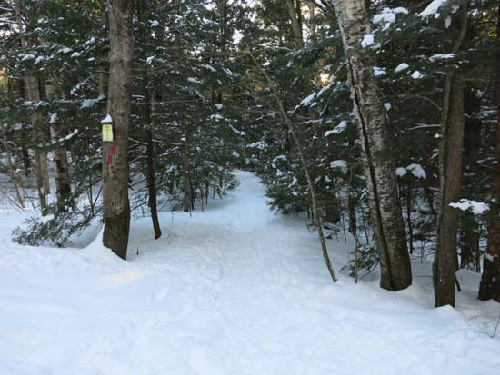
The Piper Mountain Trail trailhead on the Carriage Road
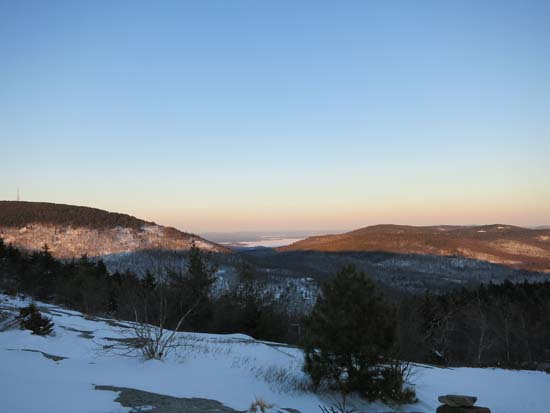
Looking at Lake Winnipesaukee from Piper Mountain
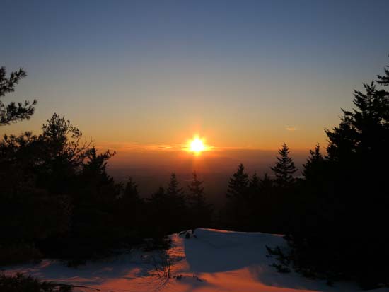
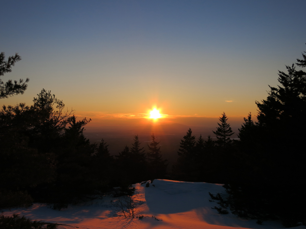
The sunset as seen from near the summit of Piper Mountain
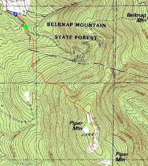

Directions to trailhead: From Route 11A East (from Route 3), take a right on Hoyt Road. Continue down this road as it becomes Belknap Mountain Road. Look for Carriage Road on your left. There is a small parking lot just before the gate. Trailhead is down the road a bit, on the right after a small bridge.
Back to Piper Mountain Profile
|