Home
States
Colorado
Connecticut
Maine
Massachusetts
New Hampshire
New York
Rhode Island
Utah
Vermont
View All
Lists
NE 4,000 Footers
NE 100 Highest
NH 4,000 Footers
NH 100 Highest
NH 52 With A View
NH Belknap Range
NH Ossipee 10
Links
Trail Conditions
Trip Log
Sunrises
Sunsets
About
|
Piper Mountain
Gilford, NH
Trailheads, measurements, times, distances, and maps are all approximate and relative to the hike(s) as shown below.
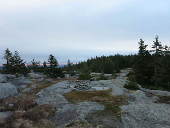
Reaching the ridge
Route: Piper Mountain Trail, green blazed trail, (Piper Mountain), green blazed trail, Old Piper Trail, White Trail, Carriage Road
Trails were snow free and mostly dry. A few areas of wet ledge, but nothing too bad.
On the descent of the Carriage Road, I heard a gunshot from the direction of the Piper Mountain Trail just after sunrise this morning, then saw bleeding deer run across the Carriage Road from that direction.
| Hike Ratings |
|
Getting To Trailhead: |
Easy |
| Destination: |
Piper Mountain |
|
Length: |
Moderate |
|
Steepness: |
Moderate |
|
Navigation: |
Easy |
|
Views: |
Excellent |
|
Crowds: |
Minimal |
|
| Hike Stats |
|
Date Hiked: |
Tuesday, November 11, 2014 |
| Parking Elevation: |
1,030' |
| Destination: |
Piper Mountain |
| Time Elapsed: |
00:26 |
| Trailhead Elevation: |
1,010' |
| Summit Elevation: |
2,044' |
| Vertical Gain: |
1,064' |
|
|
| Hike Time Elapsed: |
01:06 |
| Hike Vertical Gain: |
1,214' |
|
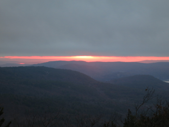
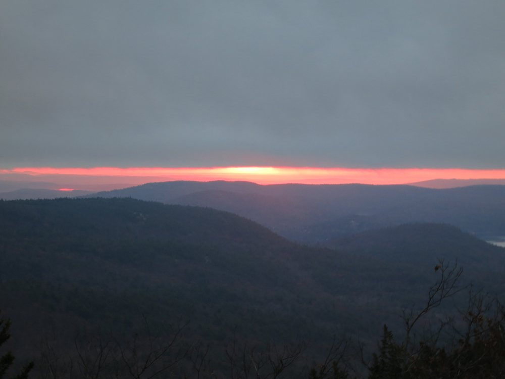
The sunrise from near the summit of Piper Mountain
Directions to trailhead: From Route 11A East (from Route 3), take a right on Hoyt Road. Continue down this road as it becomes Belknap Mountain Road. Look for Carriage Road on your left. There is a small parking lot just before the gate. Trailhead is down the road a bit, on the right after a small bridge.
Back to Piper Mountain Profile
|