Home
States
Colorado
Connecticut
Maine
Massachusetts
New Hampshire
New York
Rhode Island
Utah
Vermont
View All
Lists
NE 4,000 Footers
NE 100 Highest
NH 4,000 Footers
NH 100 Highest
NH 52 With A View
NH Belknap Range
NH Ossipee 10
Links
Trail Conditions
Trip Log
Sunrises
Sunsets
About
|
Piper Mountain
Gilford, NH
Trailheads, measurements, times, distances, and maps are all approximate and relative to the hike(s) as shown below.
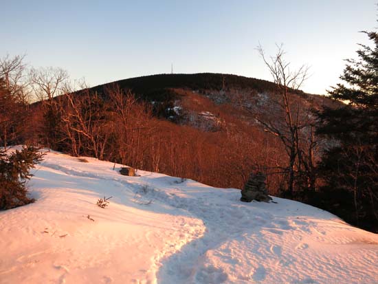
The ridge after sunrise
Route: Piper Mountain Trail, green blazed trail, (Piper Mountain), green blazed trail, Old Piper Trail, White Trail, Carriage Road
Piper Mountain Trail was a mixture of frozen granular and some significant blue ice bulges. I was able to bareboot uphill with care, but would have put on Microspikes (and still would have had to been extra careful) had I descended this route. Also some blue ice patches on the ridge, but generally in flat areas.
Old Piper Trail and White Trail also had some blue ice bulges, but I was able to bareboot down with care. Some may prefer Microspikes.
Carriage Road was frozen granular packed down by snowmobiles. Barebootable.
Overall, snowpack was probably 2-6" with a frozen granular breakable crust. Trails had some frozen postholes, etc. from the weekend thaw/rain. Probably a little bony for snowshoes on the main trails, but adequate snowcover for them if preferred.
| Hike Ratings |
|
Getting To Trailhead: |
Easy |
| Destination: |
Piper Mountain |
|
Length: |
Moderate |
|
Steepness: |
Moderate |
|
Navigation: |
Easy |
|
Views: |
Excellent |
|
Crowds: |
Minimal |
|
| Hike Stats |
|
Date Hiked: |
Wednesday, January 21, 2015 |
| Parking Elevation: |
1,030' |
| Destination: |
Piper Mountain |
| Time Elapsed: |
00:30 |
| Trailhead Elevation: |
1,010' |
| Summit Elevation: |
2,044' |
| Vertical Gain: |
1,064' |
|
|
| Hike Time Elapsed: |
01:15 |
| Hike Vertical Gain: |
1,214' |
|
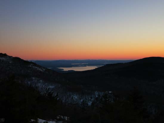
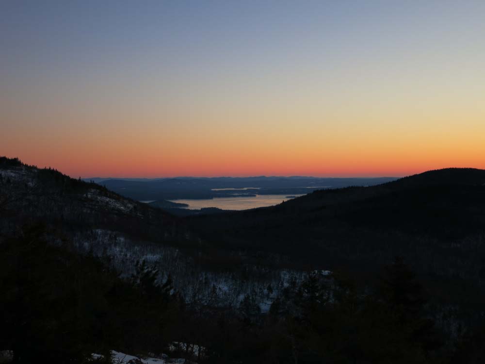
Lake Winnipesaukee as seen before sunrise on Piper Mountain

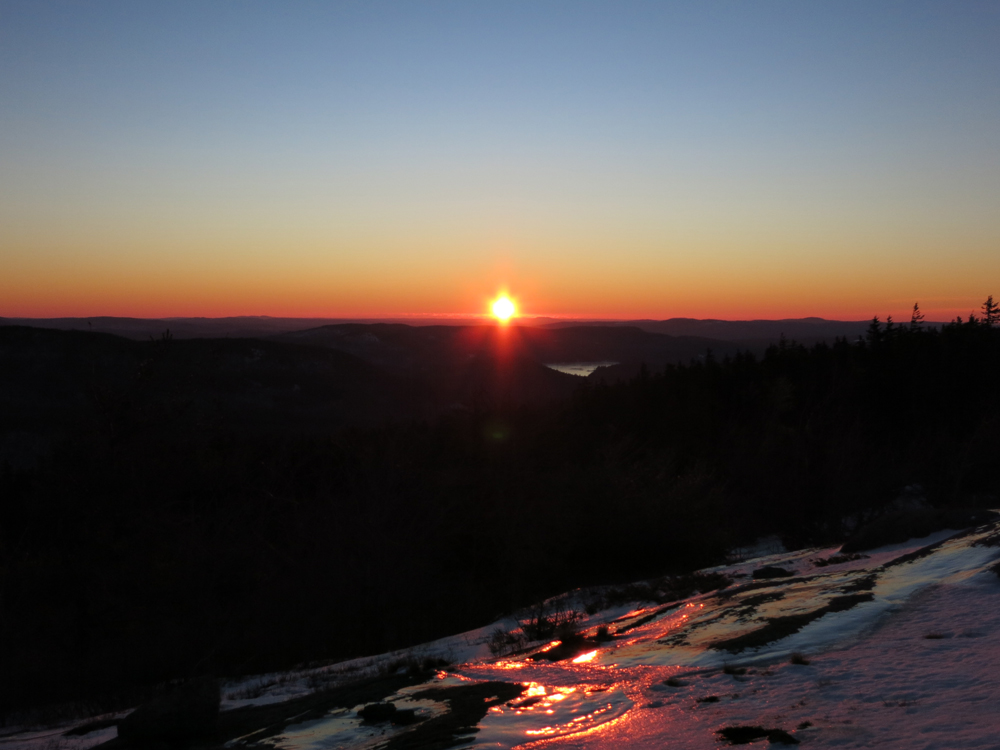
The sunrise from near the summit of Piper Mountain
Directions to trailhead: From Route 11A East (from Route 3), take a right on Hoyt Road. Continue down this road as it becomes Belknap Mountain Road. Look for Carriage Road on your left. There is a small parking lot just before the gate. Trailhead is down the road a bit, on the right after a small bridge.
Back to Piper Mountain Profile
|