Home
States
Colorado
Connecticut
Maine
Massachusetts
New Hampshire
New York
Rhode Island
Utah
Vermont
View All
Lists
NE 4,000 Footers
NE 100 Highest
NH 4,000 Footers
NH 100 Highest
NH 52 With A View
NH Belknap Range
NH Ossipee 10
Links
Trail Conditions
Trip Log
Sunrises
Sunsets
About
|
Piper Mountain
Gilford, NH, Gilmanton, NH
Trailheads, measurements, times, distances, and maps are all approximate and relative to the hike(s) as shown below.
Looking down the Piper-Whiteface Link
Route: Whiteface Mountain Trail, Piper-Whiteface Link
Broke trail in 8-14 inches of fluffy powder on top of the hardpack base with some knee deep drifts in places. Snow was fluffy enough that one could cut through and slip on the blue ice on the ledges. Good snowshoeing, though. Tracks were drifting in within a few minutes in the open areas.
No sign of tracks coming from the north on the ridge (ie from the Carriage Road) or going to Whiteface.
| Hike Ratings |
|
Getting To Trailhead: |
Easy |
| Destination: |
Piper Mountain |
|
Length: |
Moderate |
|
Steepness: |
Moderate |
|
Navigation: |
Moderate |
|
Views: |
Excellent |
|
Crowds: |
Minimal |
|
| Hike Stats |
|
Date Hiked: |
Wednesday, January 28, 2015 |
| Parking Elevation: |
1,050' |
| Destination: |
Piper Mountain |
| Time Elapsed: |
00:46 |
| Trailhead Elevation: |
1,060' |
| Summit Elevation: |
2,044' |
| Vertical Gain: |
1,024' |
|
|
| Hike Time Elapsed: |
01:37 |
| Hike Vertical Gain: |
1,064' |
|
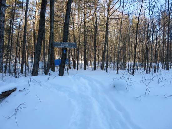
The Whiteface Mountain Trail trailhead
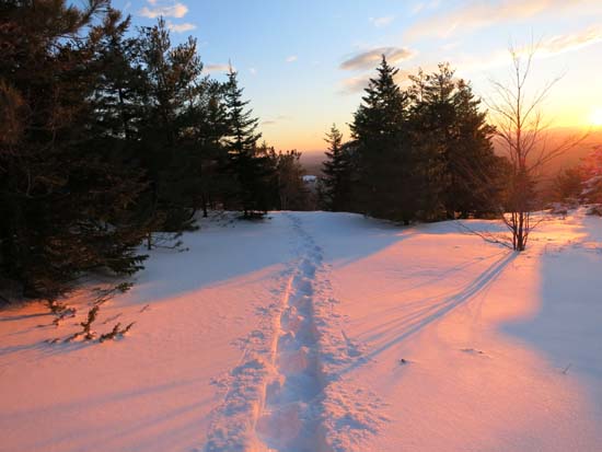
Looking down the Piper-Whiteface Link
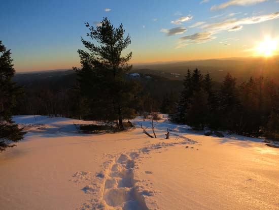
The sunset from near the summit of Piper Mountain
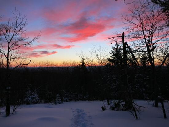
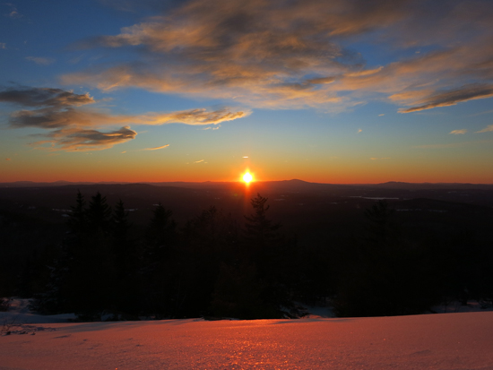
Post sunset colors descending Piper Mountain
Directions to trailhead: From Route 11A East (from Route 3), take a right on Hoyt Road. Continue down this road as it becomes Belknap Mountain Road. At the end of this road, take a left. There will eventually be a turnaround area with a private road sign. Park here, and continue up the road on foot. The Piper Whiteface Trail trailhead will be on the left side of the road.
Back to Piper Mountain Profile
|


