Home
States
Colorado
Connecticut
Maine
Massachusetts
New Hampshire
New York
Rhode Island
Utah
Vermont
View All
Lists
NE 4,000 Footers
NE 100 Highest
NH 4,000 Footers
NH 100 Highest
NH 52 With A View
NH Belknap Range
NH Ossipee 10
Links
Trail Conditions
Trip Log
Sunrises
Sunsets
About
|
Plymouth Mountain
Plymouth, NH
Trailheads, measurements, times, distances, and maps are all approximate and relative to the hike(s) as shown below.
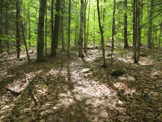
The Fauver Link Trail
Route: Fauver Link, Sutherland Trail (Plymouth Mountain), Sutherland Trail, herd path, Sutherland Trail, Fauver Link
Lunchtime jog started off on mostly dry trail under partly cloudy skies. Visited the east spur of the summit for the first time (there's a faintly scratched arrow sign adjacent to a cairn on one of the ledges near the summit that points to an initially cairn marked trail that becomes a herd path in the woods and leads to very nice ledges looking at the Whites and the Lakes Region).
Skipped Pike's Peak on the way back, as the rain moved in. The trail became damp, but not overly bad.
Lots of wildflowers.
| Hike Ratings |
|
Getting To Trailhead: |
Easy |
| Destination: |
Plymouth Mountain |
|
Length: |
Moderate |
|
Steepness: |
Difficult |
|
Navigation: |
Easy |
|
Views: |
Excellent |
|
Crowds: |
Minimal |
|
| Hike Stats |
|
Date Hiked: |
Wednesday, May 8, 2013 |
| Parking Elevation: |
790' |
| Destination: |
Plymouth Mountain |
| Time Elapsed: |
00:41 |
| Trailhead Elevation: |
790' |
| Summit Elevation: |
2,193' |
| Distance: |
2.2 miles |
| Vertical Gain: |
1,463' |
|
|
| Hike Time Elapsed: |
01:30 |
| Hike Vertical Gain: |
1,563' |
|
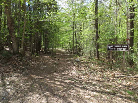
The Fauver Trail trailhead
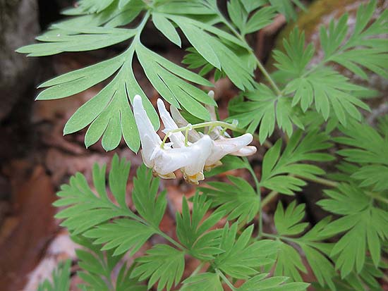
Dutchman's Breeches along the Sutherland Trail
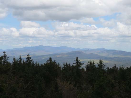
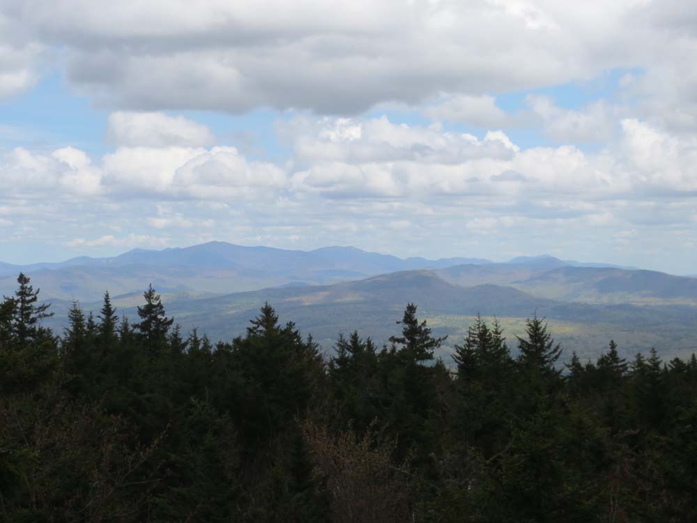
Looking over Mt. Prospect at the Sandwich Range from the ledges near the summit of Plymouth Mountain
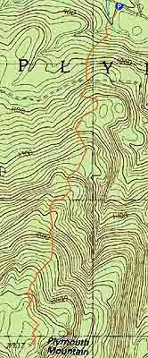

Directions to trailhead: Take Route 25 West from Ashland. A few minutes after leaving Ashland, take a left onto Cummings Road. A minute or two after a sharp left turn, take a right onto Texas Hill Road. A few minutes later, continue straight through a junction onto Old Hebron Road. The Fauver Link parking lot will be on the left a few hundred yards thereafter. The Fauver Link Trail trailhead is located at the back end of the parking lot.
Back to Plymouth Mountain Profile
|