Home
States
Colorado
Connecticut
Maine
Massachusetts
New Hampshire
New York
Rhode Island
Utah
Vermont
View All
Lists
NE 4,000 Footers
NE 100 Highest
NH 4,000 Footers
NH 100 Highest
NH 52 With A View
NH Belknap Range
NH Ossipee 10
Links
Trail Conditions
Trip Log
Sunrises
Sunsets
About
|
Plymouth Mountain
Plymouth, NH
Trailheads, measurements, times, distances, and maps are all approximate and relative to the hike(s) as shown below.
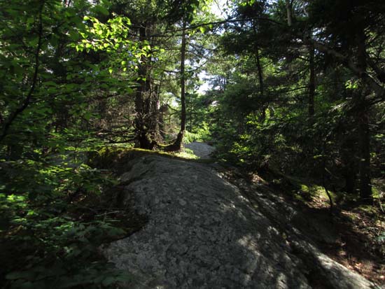
Looking up the Sutherland Trail
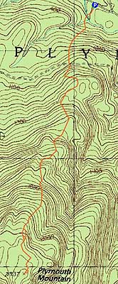
Route: Fauver Link, Sutherland Trail (Plymouth Mountain), Sutherland Trail, Fauver Link
Trails were generally dry with some minor mud. Nice views from a near summit ledge, as well as the Pikes Peak vista.
| Hike Ratings |
|
Getting To Trailhead: |
Easy |
| Destination: |
Plymouth Mountain |
|
Length: |
Moderate |
|
Steepness: |
Difficult |
|
Navigation: |
Easy |
|
Views: |
Excellent |
|
Crowds: |
Minimal |
|
| Hike Stats |
|
Date Hiked: |
Friday, July 11, 2014 |
| Parking Elevation: |
790' |
| Destination: |
Plymouth Mountain |
| Time Elapsed: |
00:42 |
| Trailhead Elevation: |
790' |
| Summit Elevation: |
2,193' |
| Distance: |
2.2 miles |
| Vertical Gain: |
1,463' |
|
|
| Hike Time Elapsed: |
01:37 |
| Hike Vertical Gain: |
1,563' |
|
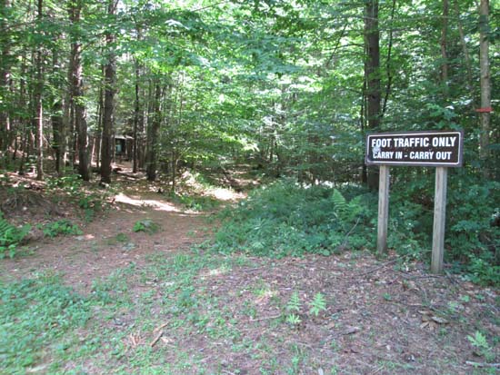
The Fauver Trail trailhead
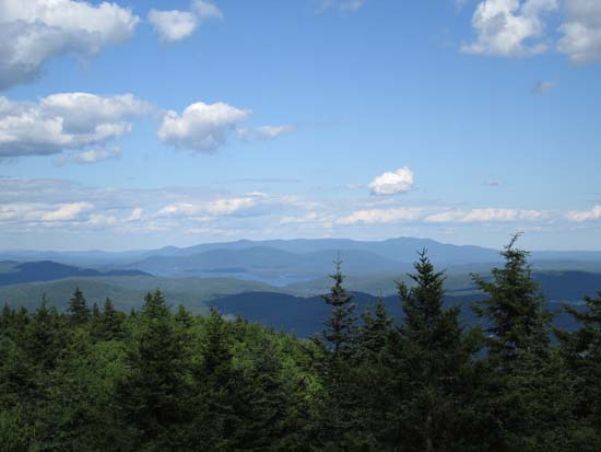
Looking east at the Ossipees from the viewpoint near the summit of Plymouth Mountain

Directions to trailhead: Take Route 25 West from Ashland. A few minutes after leaving Ashland, take a left onto Cummings Road. A minute or two after a sharp left turn, take a right onto Texas Hill Road. A few minutes later, continue straight through a junction onto Old Hebron Road. The Fauver Link parking lot will be on the left a few hundred yards thereafter. The Fauver Link Trail trailhead is located at the back end of the parking lot.
Back to Plymouth Mountain Profile
|

