Home
States
Colorado
Connecticut
Maine
Massachusetts
New Hampshire
New York
Rhode Island
Utah
Vermont
View All
Lists
NE 4,000 Footers
NE 100 Highest
NH 4,000 Footers
NH 100 Highest
NH 52 With A View
NH Belknap Range
NH Ossipee 10
Links
Trail Conditions
Trip Log
Sunrises
Sunsets
About
|
Plymouth Mountain
Plymouth, NH
Trailheads, measurements, times, distances, and maps are all approximate and relative to the hike(s) as shown below.
The Sutherland Trail
Route: Fauver Link, Sutherland Trail (Plymouth Mountain), bushwhack, Sutherland Trail, Fauver Link
Trail had a dusting of snow down low, increasing to about half an inch of crusty snow above 2,000 feet. Ledges up high were a bit tricky due to ice - light traction not a bad idea.
Note: The end of the Newfound Lake view spur off the summit (ie just before you get to the view ledge) is now posted No Trespassing.
| Hike Ratings |
|
Getting To Trailhead: |
Easy |
| Destination: |
Plymouth Mountain |
|
Length: |
Moderate |
|
Steepness: |
Difficult |
|
Navigation: |
Moderate |
|
Views: |
Excellent |
|
Crowds: |
Minimal |
|
| Hike Stats |
|
Date Hiked: |
Friday, November 21, 2014 |
| Parking Elevation: |
790' |
| Destination: |
Plymouth Mountain |
| Time Elapsed: |
00:44 |
| Trailhead Elevation: |
790' |
| Summit Elevation: |
2,193' |
| Distance: |
2.2 miles |
| Vertical Gain: |
1,463' |
|
|
| Hike Time Elapsed: |
02:01 |
| Hike Vertical Gain: |
1,563' |
|

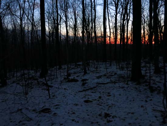
The Fauver Trail trailhead

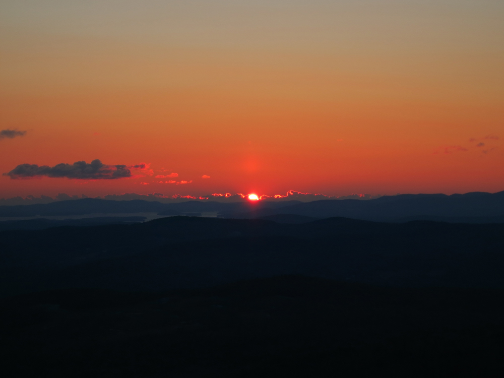
The sunrise from the ledges near the summit of Plymouth Mountain

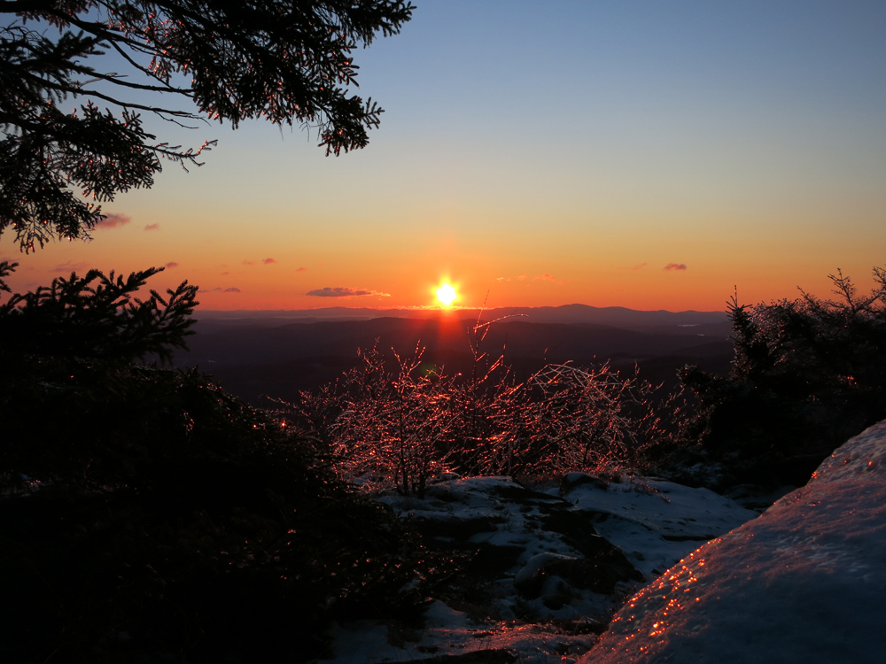
The sunrise from the ledges near the summit of Plymouth Mountain
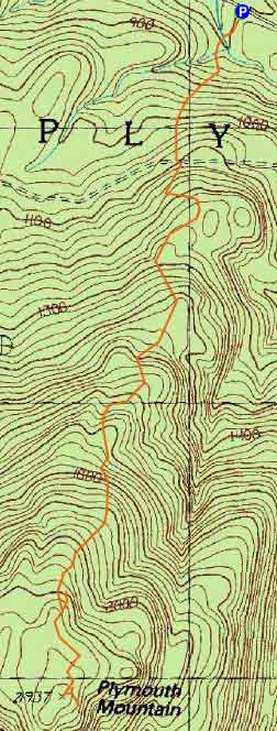

Directions to trailhead: Take Route 25 West from Ashland. A few minutes after leaving Ashland, take a left onto Cummings Road. A minute or two after a sharp left turn, take a right onto Texas Hill Road. A few minutes later, continue straight through a junction onto Old Hebron Road. The Fauver Link parking lot will be on the left a few hundred yards thereafter. The Fauver Link Trail trailhead is located at the back end of the parking lot.
Back to Plymouth Mountain Profile
|