Home
States
Colorado
Connecticut
Maine
Massachusetts
New Hampshire
New York
Rhode Island
Utah
Vermont
View All
Lists
NE 4,000 Footers
NE 100 Highest
NH 4,000 Footers
NH 100 Highest
NH 52 With A View
NH Belknap Range
NH Ossipee 10
Links
Trail Conditions
Trip Log
Sunrises
Sunsets
About
|
Red Hill
Moultonborough, NH
Trailheads, measurements, times, distances, and maps are all approximate and relative to the hike(s) as shown below.
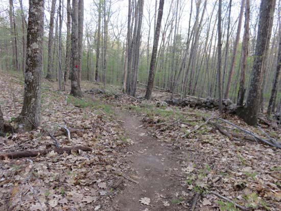
The new lower Red Hill Trail
Route: Red Hill Trail
Trail was snow free and dry.
The original snowmobile/rocky road start has been closed to hikers. On the north side of the parking lot, there is now a new footpath that sort of parallels that road, then crosses it where the hiking trail takes a right. Gentle grades, but footbed isn't well established yet.
I ran a track on my phone on the way down and measured it at 1.6 miles, parking lot to tower.
| Hike Ratings |
|
Getting To Trailhead: |
Easy |
| Destination: |
Red Hill |
|
Length: |
Moderate |
|
Steepness: |
Moderate |
|
Navigation: |
Easy |
|
Views: |
Excellent |
|
Crowds: |
Minimal |
|
| Hike Stats |
|
Date Hiked: |
Thursday, May 7, 2015 |
| Parking Elevation: |
640' |
| Destination: |
Red Hill |
| Time Elapsed: |
00:28 |
| Trailhead Elevation: |
640' |
| Summit Elevation: |
2,033' |
| Distance: |
1.6 miles |
| Vertical Gain: |
1,398' |
|
|
| Hike Time Elapsed: |
01:11 |
| Hike Distance: |
3.2 miles |
| Hike Vertical Gain: |
1,403' |
|
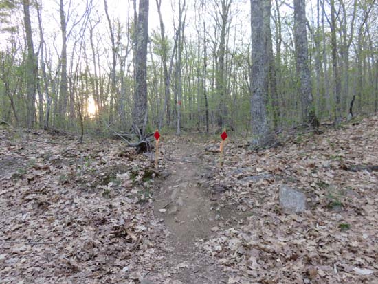
The new Red Hill Trail trailhead

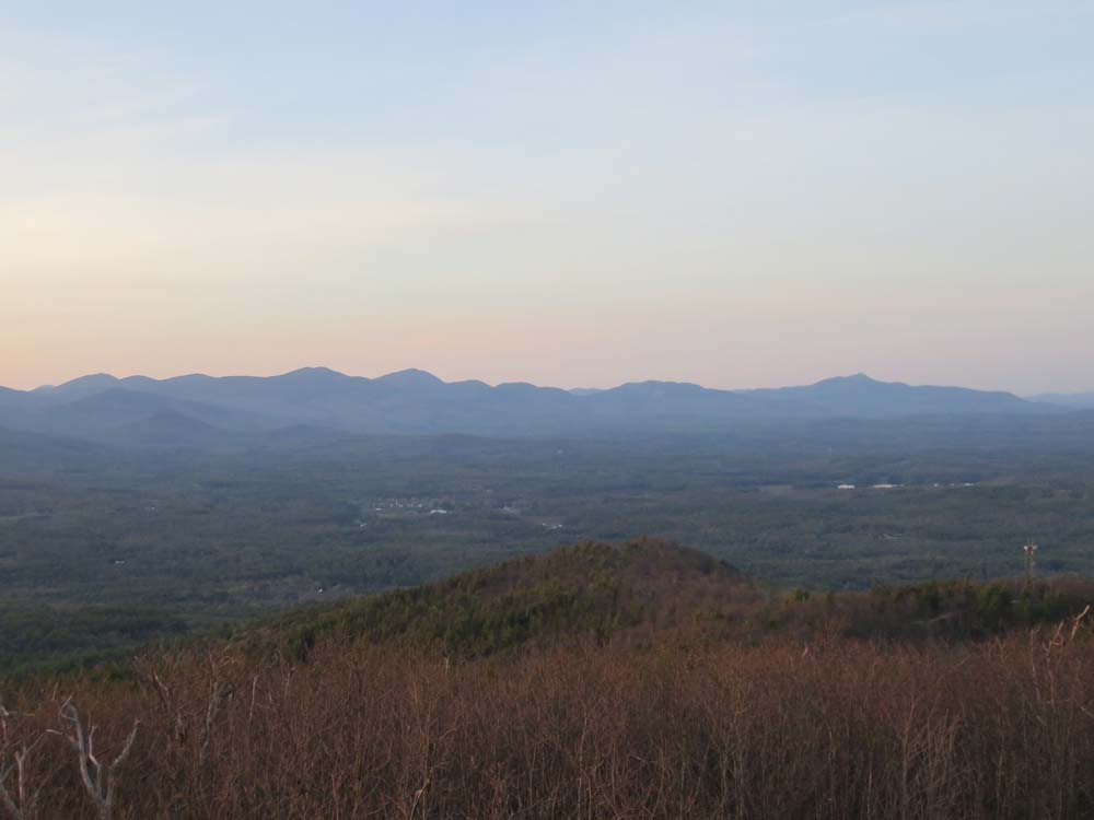
The Sandwich Range from the Red Hill fire tower

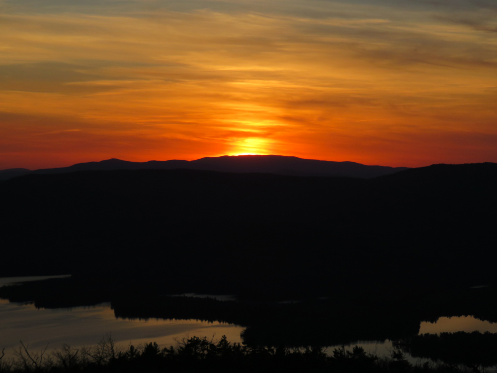
The sunset from the Red Hill fire tower
Directions to trailhead: Take Red Hill Road (also signed as Sawmill Road in some places) north from Route 25 near Center Harbor. Parking area and trailhead are on the right shortly after passing Sibley Road on the left.
Back to Red Hill Profile
|