Home
States
Colorado
Connecticut
Maine
Massachusetts
New Hampshire
New York
Rhode Island
Utah
Vermont
View All
Lists
NE 4,000 Footers
NE 100 Highest
NH 4,000 Footers
NH 100 Highest
NH 52 With A View
NH Belknap Range
NH Ossipee 10
Links
Trail Conditions
Trip Log
Sunrises
Sunsets
About
|
Red Hill
Moultonborough, NH
Trailheads, measurements, times, distances, and maps are all approximate and relative to the hike(s) as shown below.

The Red Hill Trail
Route: Red Hill Trail
Trail was mostly dry with a few avoidable black ice patches on ledge. Significant leaves in the half pipe above the bridge. The blue blazed trail cut within the last year or so now has Cabin Trail signs and connects from the cellar hole kiosk to the summit.
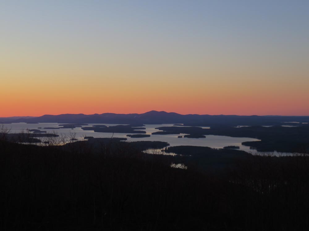
Cold sunrise from the tower with a winteresque breeze.
| Hike Ratings |
|
Getting To Trailhead: |
Easy |
| Destination: |
Red Hill |
|
Length: |
Moderate |
|
Steepness: |
Moderate |
|
Navigation: |
Easy |
|
Views: |
Excellent |
|
Crowds: |
Minimal |
|
| Hike Stats |
|
Date Hiked: |
Tuesday, November 24, 2015 |
| Parking Elevation: |
640' |
| Destination: |
Red Hill |
| Time Elapsed: |
00:28 |
| Trailhead Elevation: |
640' |
| Summit Elevation: |
2,033' |
| Distance: |
1.6 miles |
| Vertical Gain: |
1,398' |
|
|
| Hike Time Elapsed: |
01:05 |
| Hike Distance: |
3.2 miles |
| Hike Vertical Gain: |
1,403' |
|
The Red Hill Trail trailhead
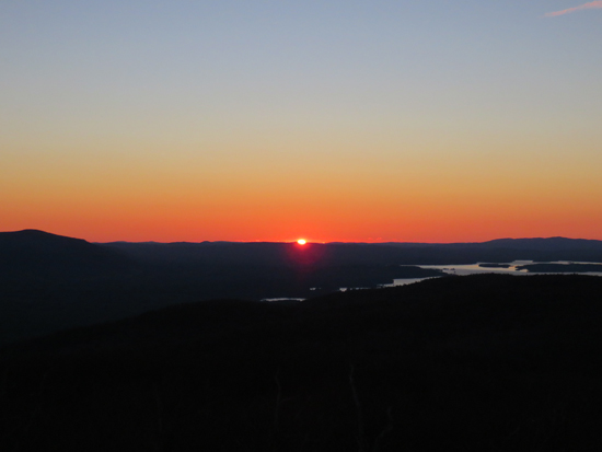
The sunrise from the Red Hill fire tower
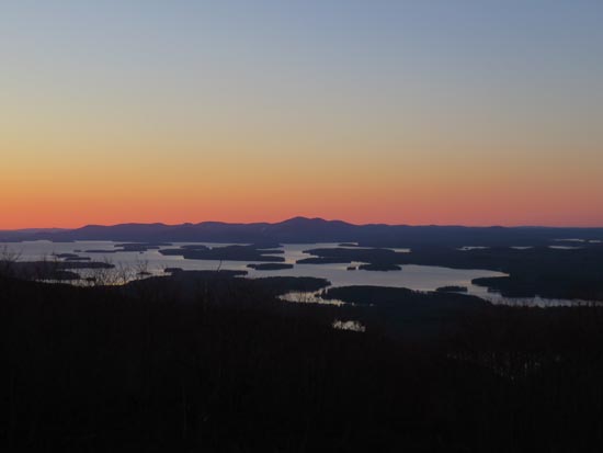
The Belknaps as seen from the Red Hill fire tower
Directions to trailhead: Take Red Hill Road (also signed as Sawmill Road in some places) north from Route 25 near Center Harbor. Parking area and trailhead are on the right shortly after passing Sibley Road on the left.
Back to Red Hill Profile
|