Home
States
Colorado
Connecticut
Maine
Massachusetts
New Hampshire
New York
Rhode Island
Utah
Vermont
View All
Lists
NE 4,000 Footers
NE 100 Highest
NH 4,000 Footers
NH 100 Highest
NH 52 With A View
NH Belknap Range
NH Ossipee 10
Links
Trail Conditions
Trip Log
Sunrises
Sunsets
About
|
Rickers Knoll, The Twins (South Peak), The Twins (North Peak), Mt. Shaw
Chatham, NH
Trailheads, measurements, times, distances, and maps are all approximate and relative to the hike(s) as shown below.
Weeks Brook Trail on the way to Rickers Knoll
Route: Weeks Brook Trail, bushwhack, Province Brook Trail
Weeks Brook Trail up to the swamp in the Kearsarge North - Rickers Knoll col was generally dry, though some of the logged areas were overgrown. One particular field was hard to navigate due to high grass and some ATV packed down sections...trail sort of exits the field on the right.
Once up in the col, we attempted to find the abandoned Twins Trail, but were initially unsuccessful. Perhaps it starts just a tad bit lower than the swamp. We initially hit some thicker spruce with blowdown, but eventually hugged around the peak, hitting the northwest ledges (could prove to be very scenic, but it was pretty foggy to start), then doubling back up to the recognized summit (picking up the old trail there). The trail seemed to be well worn in southbound, but we did lose it northbound somewhat quickly. We did pick it up briefly later on (even finding a really old soda can) where it was very prominent (descending down the nortwest ridge of Rickers, contrary to some of the old maps), but lost it in some blowdown/thicker spruce. Tended to have some slow going, attempting to favor the east side of the ridge, but things improved after we hit the col just before the Twins. Two possible corridors still seemed open in the vicinity of the abandoned Gemini Trail crossing (as well as an old logging road). Both seemed to have more hope on the northwest side than on the southeast side.
Both Twins had quite a few view ledges near their summits, the northern of which is recognized as being higher. We picked up the abandoned trail once or twice, but the bushwhacking wasn't overly thick otherwise in this section.
We also had occasional trail dropping off North Twin, but that soon ran out. Offhand I don't recall seeing any evidence of the old trail that came up from near Province Pond, but it's possible we were west of that junction, as we aimed for the western ridge of Mt. Shaw. Other than a few ledgy/rocky areas, the going wasn't too bad up to the ridge and then over to the recognized summit. The recognized highpoint is a bit north of the spot elevation on the map, which shows up as a ledge on the aerial. Said ledge doesn't have much in way of views and does appear to be lower than the highpoint.
We also went out to the eastern ledges in search of views, but they too were blocked in by trees. There was a promising ledge on the southeast face that probably has views, but we opted to instead head over to the eastern knoll, which was burned over at some point (still some charred logs). While we got near it without too much issue, getting onto it from above was thick due to blowdown and new growth. Once out on the ledge, the views were spectacular. We opted to exit to the east, which looked worse than it actually was (found a ramp down off the cliffs, then the young hardwood growth wasn't as thick as it seemed, soon giving way to open hardwoods below it, all the way to the pond/shelter).
The Province Pond Shelter was surprisingly not being used when we arrived there not long before dinner time. Once upon the eastern shore of the pond, it was a pretty quick walk out, as it's a gated forest road (not muddy) from there to the parking lot.
| Hike Ratings |
|
Getting To Trailhead: |
Easy |
| Destination: |
Rickers Knoll |
|
Length: |
Moderate |
|
Steepness: |
Moderate |
|
Navigation: |
Difficult |
|
Views: |
Moderate (due to weather) |
|
Crowds: |
Minimal |
| Destination: |
The Twins (South Peak) |
|
Length: |
Moderate |
|
Steepness: |
Difficult |
|
Navigation: |
Difficult |
|
Views: |
Excellent |
|
Crowds: |
Minimal |
| Destination: |
The Twins (North Peak) |
|
Length: |
Moderate |
|
Steepness: |
Difficult |
|
Navigation: |
Difficult |
|
Views: |
Excellent |
|
Crowds: |
Minimal |
| Destination: |
Mt. Shaw |
|
Length: |
Moderate |
|
Steepness: |
Difficult |
|
Navigation: |
Difficult |
|
Views: |
Excellent |
|
Crowds: |
Minimal |
|
| Hike Stats |
|
Date Hiked: |
Saturday, August 2, 2014 |
| Parking Elevation: |
550' |
| Destination: |
Rickers Knoll |
| Time Elapsed: |
02:08 |
| Trailhead Elevation: |
550' |
| Summit Elevation: |
2,477' |
| Vertical Gain: |
1,977' |
| Destination: |
The Twins (South Peak) |
| Time Elapsed: |
02:23 |
| Trailhead Elevation: |
2,477' |
| Summit Elevation: |
2,490' |
| Vertical Gain: |
390' |
| Destination: |
The Twins (North Peak) |
| Time Elapsed: |
00:28 |
| Trailhead Elevation: |
2,490' |
| Summit Elevation: |
2,519' |
| Vertical Gain: |
159' |
| Destination: |
Mt. Shaw |
| Time Elapsed: |
00:44 |
| Trailhead Elevation: |
2,519' |
| Summit Elevation: |
2,585' |
| Vertical Gain: |
385' |
|
|
| Hike Time Elapsed: |
09:01 |
| Hike Vertical Gain: |
2,951' |
|
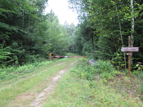
The Weeks Brook Trail trailhead
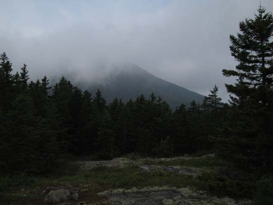
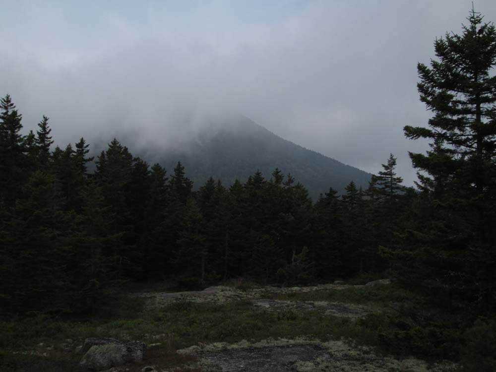
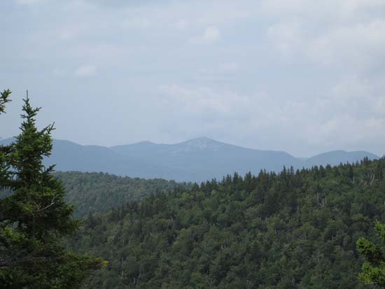
Foggy views toward Kearsarge North from near the summit of Rickers Knoll
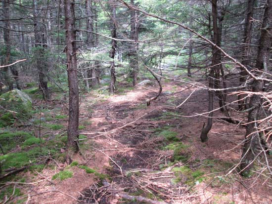
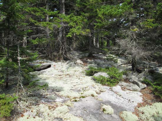
A brief stretch of abandoned trail on the way to South Twin
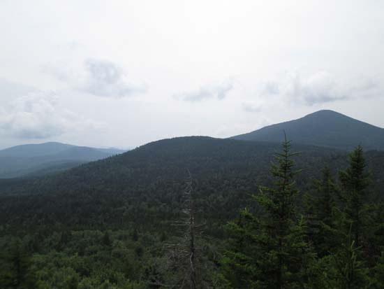
Looking back at Rickers Knoll and Kearsarge North from near the summit of South Twin
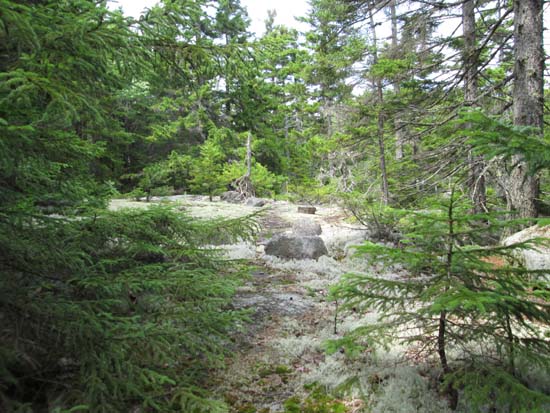
Possible old trail between the Twins
South Baldface as seen from North Twin
Bushwhacking to Mt. Shaw
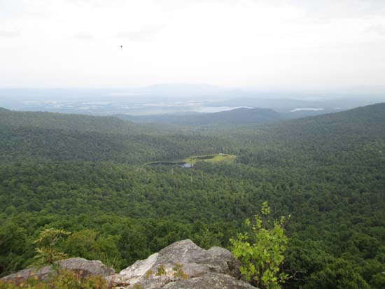
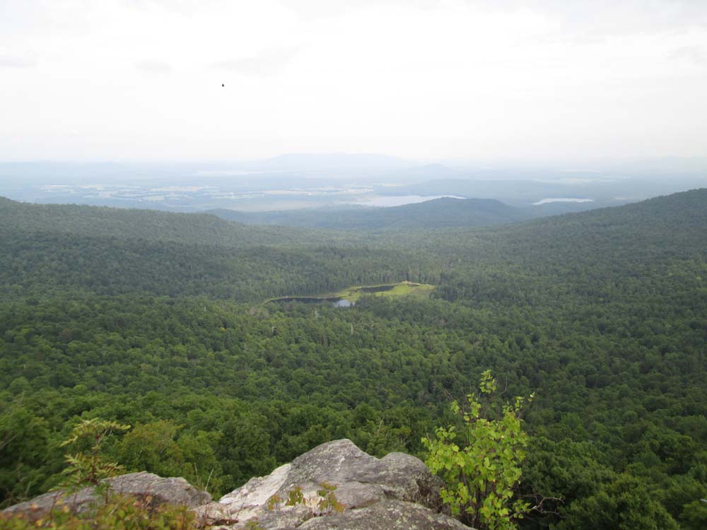
Looking at Province Pond and Pleasant Mountain from the burnt knoll of Mt. Shaw
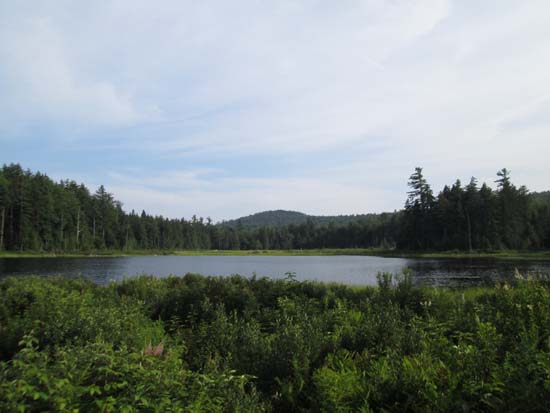
Province Pond at the end of the day
Directions to trailhead: To reach the Weeks Brook Trail, continue east on Hurricane Mountain Road to its end in Chatham, then take a left onto Green Hill Road. Shortly thereafter, take a left onto FR 317. The Weeks Brook Trail trailhead and parking area is located at the gate shortly down this road.
Back to Rickers Knoll Profile
Back to The Twins (South Peak) Profile
Back to The Twins (North Peak) Profile
Back to Mt. Shaw Profile
|