Home
States
Colorado
Connecticut
Maine
Massachusetts
New Hampshire
New York
Rhode Island
Utah
Vermont
View All
Lists
NE 4,000 Footers
NE 100 Highest
NH 4,000 Footers
NH 100 Highest
NH 52 With A View
NH Belknap Range
NH Ossipee 10
Links
Trail Conditions
Trip Log
Sunrises
Sunsets
About
|
Sandwich Mountain
Sandwich, NH, Waterville Valley, NH
Trailheads, measurements, times, distances, and maps are all approximate and relative to the hike(s) as shown below.
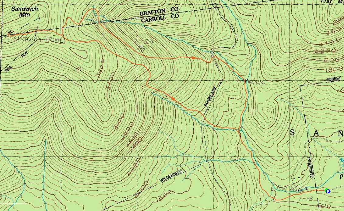
Looking up the Gleason Trail
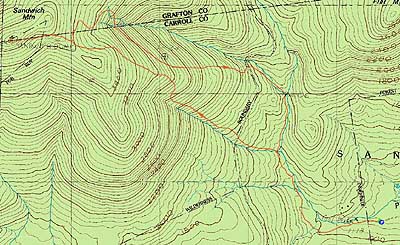
Route: Flat Mountain Pond Trail, Bennett Street Trail, Gleason Trail, Bennett Street Trail, (Sandwich Mountain), Bennett Street Trail, Flat Mountain Pond Trail
The weather forecast called for a clearing trend, however the clearing trend never seemed to materialize. Thus, I decided to stay local and hike the Sandwich Dome for the first time in two years.
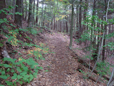
The first part of the hike, technically on the Flat Mountain Pond Trail, was essentially a gated roadwalk. After splitting off onto the Bennett Street Trail, the grade continued to be gradual. Reaching the Gleason Trail, things picked up a bit. Upon entering the wilderness and crossing over an old railroad grade, the trail was littered with blowdowns of varying ages - only a few were an issue getting around, however on the whole they slowed the ascent. Though the blazes throughout the trails were faded at best, I found the signage to be generally good (though the Flat Mountain Pond rail grade junction wasn't signed).
While the Gleason Trail has been described as rough, I found the footing (aside from stepping over a few dozen blowdowns) to be pretty descent. The trail never became overly steep prior to merging with the Bennett Street Trail.
From there, things continued to be gradual, aside from a short steep area near the summit. While nearby, slightly higher peaks were in the clouds, the summit of the Sandwich Dome was in the clear, resulting in good views from Tecumseh to the Tripyramids. Not wanting a headlamp walk, I didn't loiter for long.
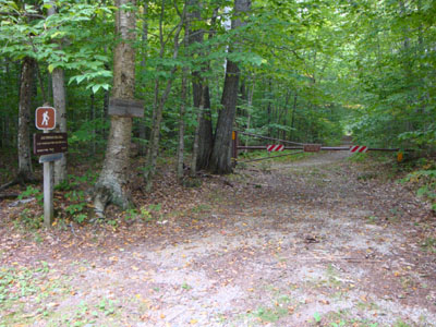
For the descent, I took the Bennett Trail. Prior to reaching the streams down low, the footing was generally good. Upon reaching the main brook, the footing became rocky - though this was offset by passing by two nice cascades and pools.
I was fortunate enough to reach the roadwalk portion of the trail just prior to things becoming too dark to continue without a lamp. Once on the roadwalk, I knew I could keep the headlamp in the pack for another day. Or night.
| Hike Ratings |
|
Getting To Trailhead: |
Easy |
| Destination: |
Sandwich Mountain |
|
Length: |
Moderate |
|
Steepness: |
Difficult |
|
Navigation: |
Easy |
|
Views: |
Excellent |
|
Crowds: |
Minimal |
|
| Hike Stats |
|
Date Hiked: |
Wednesday, September 16, 2009 |
| Hike Commenced: |
3:30 PM |
| Parking Elevation: |
1,060' |
| Destination: |
Sandwich Mountain |
| Ascent Commenced: |
3:30 PM |
| Summit Reached: |
5:12 PM |
| Time Elapsed: |
01:42 |
| Trailhead Elevation: |
1,060' |
| Summit Elevation: |
3,980' |
| Distance: |
3.8 miles |
| Vertical Gain: |
2,960' |
|
|
| Hike Ended: |
7:08 PM |
| Hike Time Elapsed: |
03:38 |
| Hike Distance: |
8.3 miles |
| Hike Vertical Gain: |
2,980' |
|
The Bennett Street Trail trailhead
A cascade near the Bennett Street Trail
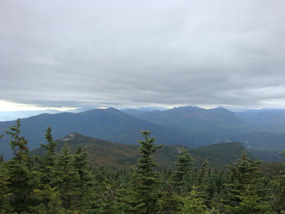
Looking at Mt. Tecumseh and the Osceolas from the summit of Sandwich Mountain

Directions to trailhead: From Center Sandwich, take Route 113 northeast to North Sandwich, bearing left onto Route 113A. Just before a sharp right turn, bear left onto Whiteface-Intervale Road. Take an immediate left onto Bennett Street. The Flat Mountain Pond Trail trailhead starts at the end of this road. The parking area will be on the left, just before the trailhead.
Back to Sandwich Mountain Profile
|