Home
States
Colorado
Connecticut
Maine
Massachusetts
New Hampshire
New York
Rhode Island
Utah
Vermont
View All
Lists
NE 4,000 Footers
NE 100 Highest
NH 4,000 Footers
NH 100 Highest
NH 52 With A View
NH Belknap Range
NH Ossipee 10
Links
Trail Conditions
Trip Log
Sunrises
Sunsets
About
|
Sandwich Mountain
Sandwich, NH, Waterville Valley, NH
Trailheads, measurements, times, distances, and maps are all approximate and relative to the hike(s) as shown below.
Looking down the Black Mountain Pond Trail
Route: Guinea Pond Trail, Black Mountain Pond Trail, Algonquin Trail, Sandwich Mountain Trail, Bennett Street Trail, Flat Mountain Pond Trail, Guinea Pond Side Path
Trails were generally dry, though I could imagine this would be a mudbath in wet conditions.
Mary Cary Falls was underwhelming in current waterflow. Black Mountain Pond Trail is a bit confusing around the pond - if you have the AMC map you should be okay.
Some parts of Flat Mountain Pond Trail seemed like the trail was being let go. Interestingly enough, the Gleason Trail still has signs on the bottom and top of the closed section. The Bennett Street Trail does not currently have a sign on top of Sandwich Dome.
Guinea Pond Side Path is described as obliterated by beaver activtiy in the latest WMG, but it looks like the dam must have been breached recently, as the water is now gone, leaving just minor mud at the moment. Spur is a little grown in otherwise.
| Hike Ratings |
|
Getting To Trailhead: |
Easy |
| Destination: |
Sandwich Mountain |
|
Length: |
Moderate |
|
Steepness: |
Very Difficult |
|
Navigation: |
Moderate |
|
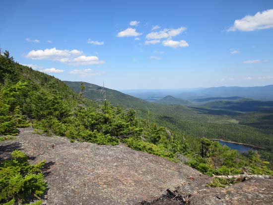
Views: |
Excellent |
|
Crowds: |
Minimal |
|
| Hike Stats |
|
Date Hiked: |
Thursday, July 12, 2012 |
| Parking Elevation: |
1,330' |
| Destination: |
Sandwich Mountain |
| Time Elapsed: |
03:07 |
| Trailhead Elevation: |
1,320' |
| Summit Elevation: |
3,980' |
| Vertical Gain: |
2,860' |
|
|
| Hike Time Elapsed: |
05:58 |
| Hike Vertical Gain: |
3,040' |
|
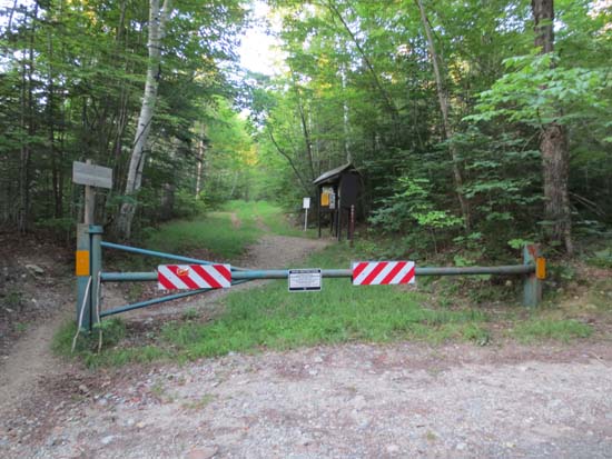
The Guinea Pond Trail trailhead on Sandwich Notch Road
Black Mountain Pond
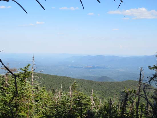
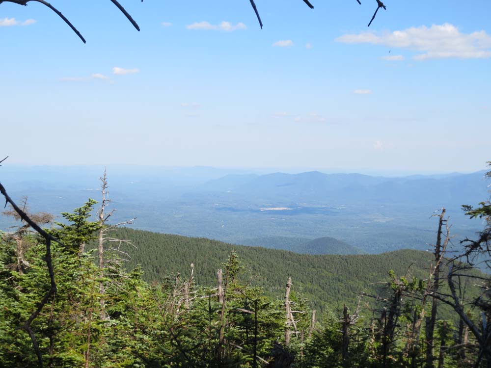
The eastern Ossipees as seen from near the summit of Sandwich Dome
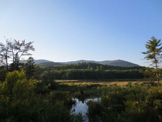
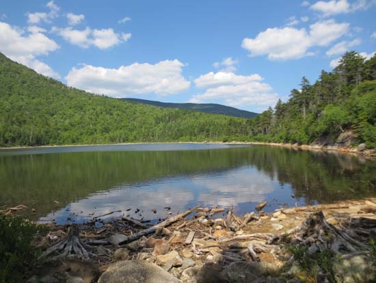
Guinea Pond
Directions to trailhead: Take Route 109 into Center Sandwich. Route 113 will enter on your right and bear left shortly thereafter. Go straight onto Grove Street instead, then bear left onto Diamond Ledge Road. Sandwich Notch Road will be on the left a few minutes up this road. On a steep downhill to a bridge crossing with high tension lines in sight, the Guinea Pond Trail trailhead will be on the left. Parking is available on the other side of the bridge, uphill on the left.
Back to Sandwich Mountain Profile
|