Home
States
Colorado
Connecticut
Maine
Massachusetts
New Hampshire
New York
Rhode Island
Utah
Vermont
View All
Lists
NE 4,000 Footers
NE 100 Highest
NH 4,000 Footers
NH 100 Highest
NH 52 With A View
NH Belknap Range
NH Ossipee 10
Links
Trail Conditions
Trip Log
Sunrises
Sunsets
About
|
Savage Mountain, East Spruce Mountain
Stratford, NH
Trailheads, measurements, times, distances, and maps are all approximate and relative to the hike(s) as shown below.
Looking at Savage just prior to leaving the logging road
Route: Lamms Trail, logging roads, bushwhack, (Savage Mountain), bushwhack, (East Spruce Mountain), bushwhack, logging roads, Lamms Trail
Very little snow down low. From the second logging landing, we wore Microspikes for the road walk up Lamms Trail past the camps. At the split shortly past the camps, the left route's culverts have been pulled, so we beared right. At the next logging landing around 1,780 feet, we continued straight onto an older logging road (still with Micros, maybe 1-3" of snowpack with bare patches). Soon thereafter, we donned snowshoes.
The old logging road faded out, so we bushwhacked briefly up to the more recent logging road around 2,500 feet in elevation with snowpack closer to 6-12 inches. We then briefly headed north to a logging landing, then headed northeast toward Savage, staying a little north of the col. Some old skid roads, some areas of decent woods, and a few areas of thicker junk. A few small, but manageable ledge bands as well. Woods opened up again when reaching the summit ridge. Partial views near the recognized highpoint via a fir wave.
We then retraced our tracks, then continued south into the col and up to East Spruce Mountain, generally following moose paths to the wooded recognized highpoint. Snowpack again generally about 6-12 inches, but there were some areas closer to 2 feet. Plenty of moose hoof postholes.
We then doubled back north to a col, then followed an old skid road back down to the prominent 2,500 foot logging road and retraced our tracks down.
With colder temperatures, the snowpack has set up, so we were barely sinking in with snowshoes. Pretty smooth sailing.
| Hike Ratings |
|
Getting To Trailhead: |
Moderate |
| Destination: |
| Destination: |
Savage Mountain |
|
Length: |
Moderate |
|
Steepness: |
Difficult |
|
Navigation: |
Very Difficult |
|
Views: |
Moderate |
|
Crowds: |
Minimal |
| Destination: |
East Savage Mountain |
|
Length: |
Moderate |
|
Steepness: |
Moderate |
|
Navigation: |
Very Difficult |
|
Views: |
Minimal |
|
Crowds: |
Minimal |
|
| Hike Stats |
|
Date Hiked: |
Thursday, January 1, 2015 |
| Parking Elevation: |
1,160' |
| Destination: |
Savage Mountain |
| Time Elapsed: |
02:18 |
| Trailhead Elevation: |
1,160' |
| Summit Elevation: |
3,510' |
| Vertical Gain: |
2,370' |
| Destination: |
East Spruce Mountain |
| Time Elapsed: |
01:03 |
| Trailhead Elevation: |
3,510' |
| Summit Elevation: |
3,010' |
| Vertical Gain: |
210' |
|
|
| Hike Time Elapsed: |
05:05 |
| Hike Vertical Gain: |
2,580' |
|
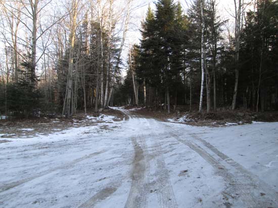
The second logging landing on Lamms Trail
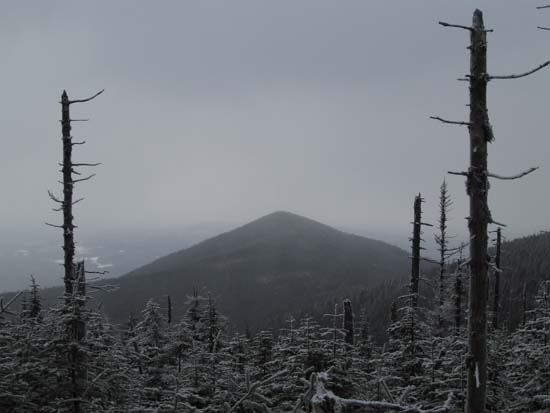
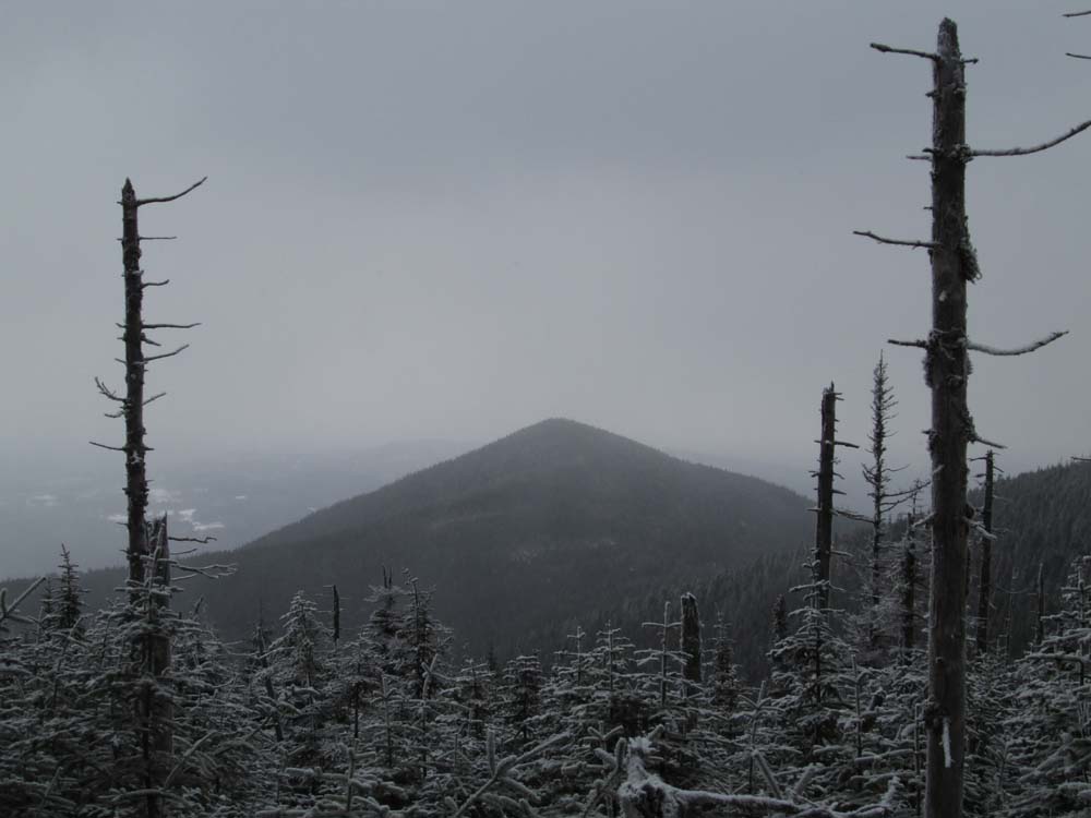
Looking at Teapot from near the summit of Savage Mountain
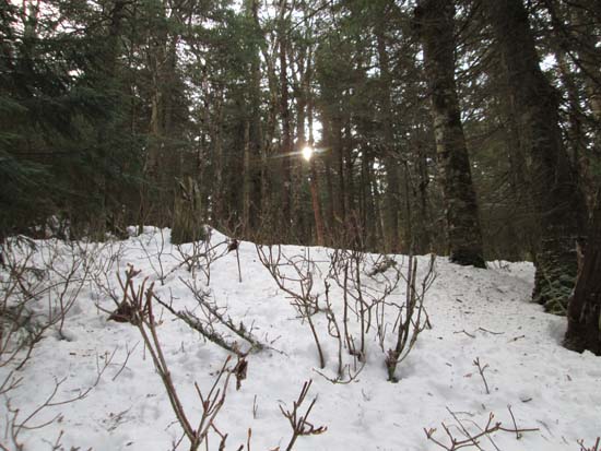
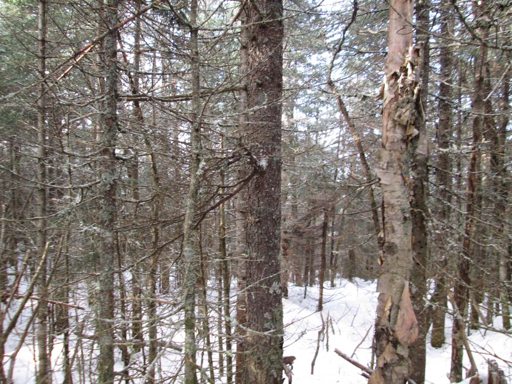
Bushwhacking to East Spruce
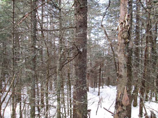
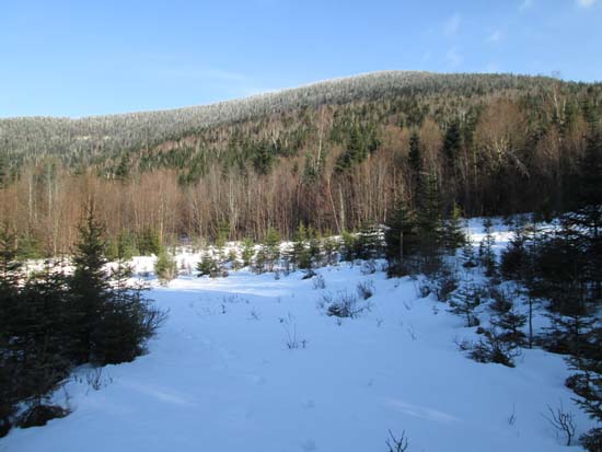
A lack of views on East Spruce Mountain
Directions to trailhead: Take US 3 North of Groveton. Take a right onto Lamms Trail (aka Bissell Road). In early winter 2014-15, one could drive about 4/10 of a mile to a logging landing.
Back to Savage Mountain Profile
Back to East Spruce Mountain Profile
|