Home
States
Colorado
Connecticut
Maine
Massachusetts
New Hampshire
New York
Rhode Island
Utah
Vermont
View All
Lists
NE 4,000 Footers
NE 100 Highest
NH 4,000 Footers
NH 100 Highest
NH 52 With A View
NH Belknap Range
NH Ossipee 10
Links
Trail Conditions
Trip Log
Sunrises
Sunsets
About
|
Smarts Mountain
Orford, NH, Lyme, NH
Trailheads, measurements, times, distances, and maps are all approximate and relative to the hike(s) as shown below.
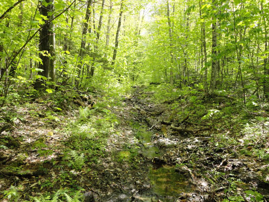
The lower Daniel Doan Trail
Route: Daniel Doan Trail
Generally a muddy, buggy mess. Very wet and muddy logging roads for the first portion of the hike, then a decent trail for a brief interlude, then an eroded, wet climb up to the ridge (nice woods though). Excellent views from the fire tower.
| Hike Ratings |
|
Getting To Trailhead: |
Difficult |
| Destination: |
Smarts Mountain |
|
Length: |
Moderate |
|
Steepness: |
Difficult |
|
Navigation: |
Easy |
|
Views: |
Excellent |
|
Crowds: |
Minimal |
|
| Hike Stats |
|
Date Hiked: |
Wednesday, May 25, 2011 |
| Parking Elevation: |
1,310' |
| Time to Trailhead: |
00:05 |
| Destination: |
Smarts Mountain |
| Time Elapsed: |
01:21 |
| Trailhead Elevation: |
1,330' |
| Summit Elevation: |
3,238' |
| Distance: |
3 miles |
| Vertical Gain: |
1,958' |
|
|
| Hike Time Elapsed: |
03:00 |
| Hike Vertical Gain: |
2,058' |
|
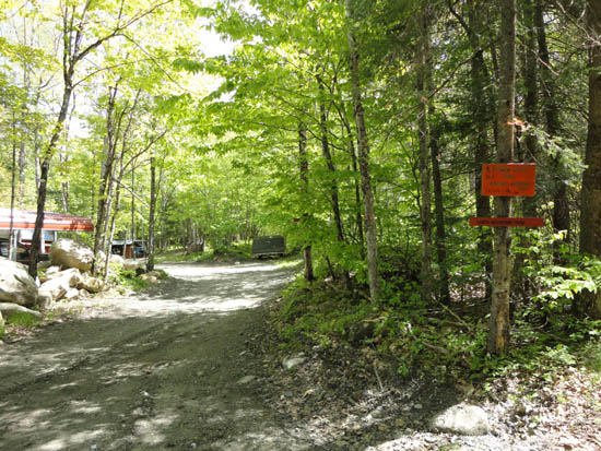
The Daniel Doan Trailhead
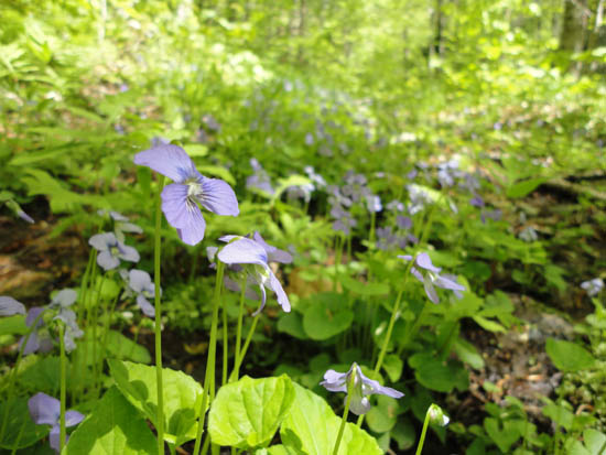
Violets
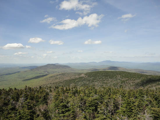
Looking north from the Smarts Mountain fire tower


Directions to trailhead: From Route 25 in Wentworth, take Route 25A west. Take a left onto Quintown Road. Take a right onto Mousley Brook Trail. At a split, there is a gate on right, a small parking area on left, and straight ahead (downhill) as no vehicles sign. Walk downhill, then at bottom, across right hand bridge, but continue going straight (there are roads on the right on either side of the bridge). Go straight at trailhead sign, eventually ending upon a woods road with blue blazes.
Back to Smarts Mountain Profile
|

