Home
States
Colorado
Connecticut
Maine
Massachusetts
New Hampshire
New York
Rhode Island
Utah
Vermont
View All
Lists
NE 4,000 Footers
NE 100 Highest
NH 4,000 Footers
NH 100 Highest
NH 52 With A View
NH Belknap Range
NH Ossipee 10
Links
Trail Conditions
Trip Log
Sunrises
Sunsets
About
|
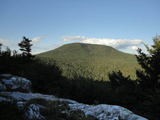
Smarts Mountain
Lyme, NH
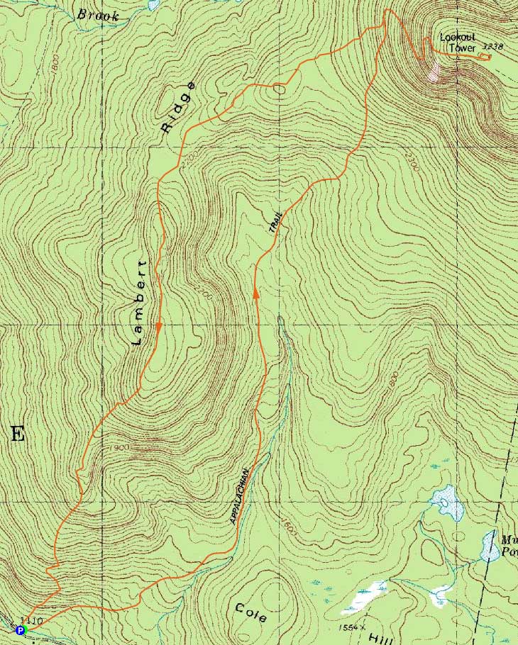
Trailheads, measurements, times, distances, and maps are all approximate and relative to the hike(s) as shown below.
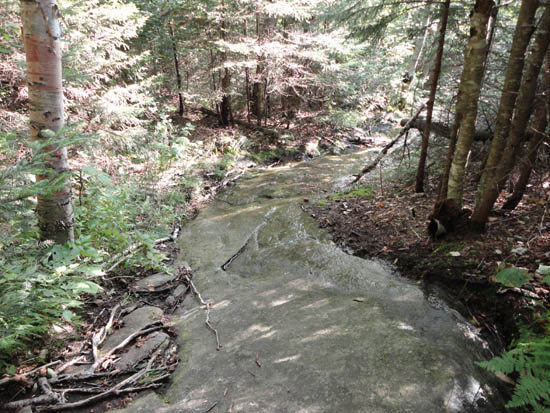
Looking down the Ranger Trail
Route: Ranger Trail, Lambert Ridge Trail, (Smarts Mountain), Lambert Ridge Trail
The Ranger Trail was not enjoyable - mud, slippery ledge slabs, and minimal redeeming qualities. The Lambert Ridge Trail outclasses it, even with the ups and downs, thanks to the great views.
| Hike Ratings |
|
Getting To Trailhead: |
Easy |
| Destination: |
Smarts Mountain |
|
Length: |
Moderate |
|
Steepness: |
Difficult |
|
Navigation: |
Moderate |
|
Views: |
Excellent |
|
Crowds: |
Minimal |
|
| Hike Stats |
|
Date Hiked: |
Monday, August 22, 2011 |
| Parking Elevation: |
1,110' |
| Destination: |
Smarts Mountain |
| Time Elapsed: |
01:21 |
| Trailhead Elevation: |
1,110' |
| Summit Elevation: |
3,238' |
| Vertical Gain: |
2,298' |
|
|
| Hike Time Elapsed: |
02:52 |
| Hike Vertical Gain: |
2,668' |
|
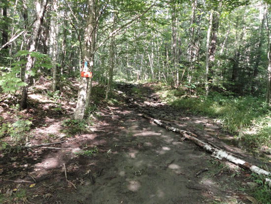
The Ranger Trail trailhead

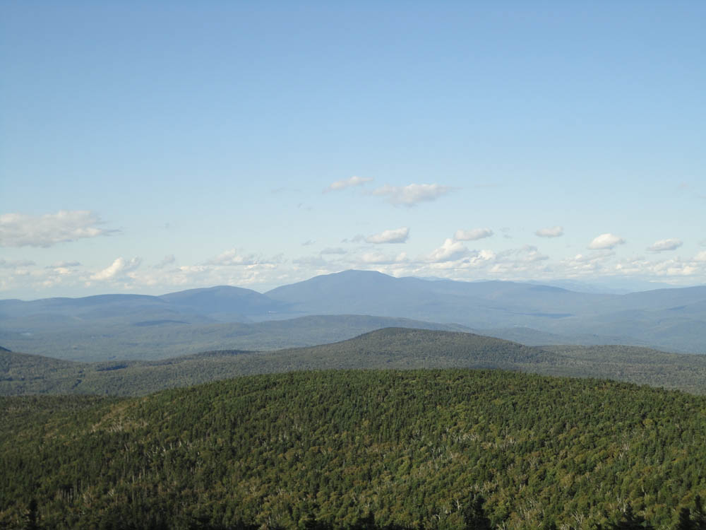
Looking at Mt. Moosilauke from the Smarts Mountain fire tower.
The Lambert Ridge Trail
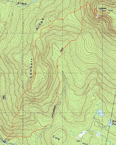

Directions to trailhead: From Route 25A, take Route 10 South toward Lyme. Take a left onto Dorchester Road (may also be signed as Lyme Center Road). Bear left onto a dirt road (still Dorchester Road) when the Dartmouth Skiway is visible to the right. The Lambert Ridge-Ranger Trail parking area and trailhead will be a few minutes up the dirt road on the left, just before crossing a brook.
Back to Smarts Mountain Profile
|