Home
States
Colorado
Connecticut
Maine
Massachusetts
New Hampshire
New York
Rhode Island
Utah
Vermont
View All
Lists
NE 4,000 Footers
NE 100 Highest
NH 4,000 Footers
NH 100 Highest
NH 52 With A View
NH Belknap Range
NH Ossipee 10
Links
Trail Conditions
Trip Log
Sunrises
Sunsets
About
|
Smarts Mountain
Lyme, NH
Trailheads, measurements, times, distances, and maps are all approximate and relative to the hike(s) as shown below.
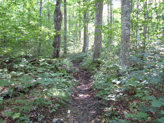
The J Trail
Route: J Trail
Quinttown roadwalk was smooth and fast. Decent jogging in places, some mud in others. Good views from the tower.
| Hike Ratings |
|
Getting To Trailhead: |
Easy |
| Destination: |
Smarts Mountain |
|
Length: |
Moderate |
|
Steepness: |
Moderate |
|
Navigation: |
Easy |
|
Views: |
Excellent |
|
Crowds: |
Minimal |
|
| Hike Stats |
|
Date Hiked: |
Friday, June 29, 2012 |
| Parking Elevation: |
1,310' |
| Destination: |
Smarts Mountain |
| Time Elapsed: |
01:22 |
| Trailhead Elevation: |
1,310' |
| Summit Elevation: |
3,238' |
| Vertical Gain: |
1,988' |
|
|
| Hike Time Elapsed: |
02:40 |
| Hike Vertical Gain: |
2,058' |
|
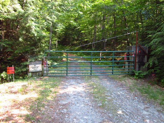
The Quinttown Road gate
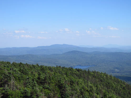
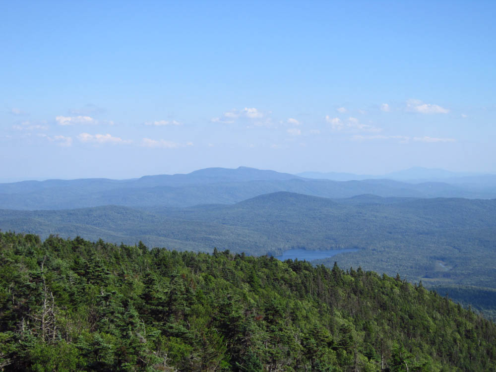
Looking at Mt. Cardigan from the Smarts Mountain fire tower.
Directions to trailhead: From Route 25A west from the Appalachian Trail crossing. Quinttown Road will eventually be on the left. Continue to the end of the road. There is minimal room to parking at a gate. Continue on foot up the gated road. The J Trail eventually departs into the woods on the right.
Back to Smarts Mountain Profile
|