Home
States
Colorado
Connecticut
Maine
Massachusetts
New Hampshire
New York
Rhode Island
Utah
Vermont
View All
Lists
NE 4,000 Footers
NE 100 Highest
NH 4,000 Footers
NH 100 Highest
NH 52 With A View
NH Belknap Range
NH Ossipee 10
Links
Trail Conditions
Trip Log
Sunrises
Sunsets
About
|
Straightback Mountain
Alton, NH
Trailheads, measurements, times, distances, and maps are all approximate and relative to the hike(s) as shown below.
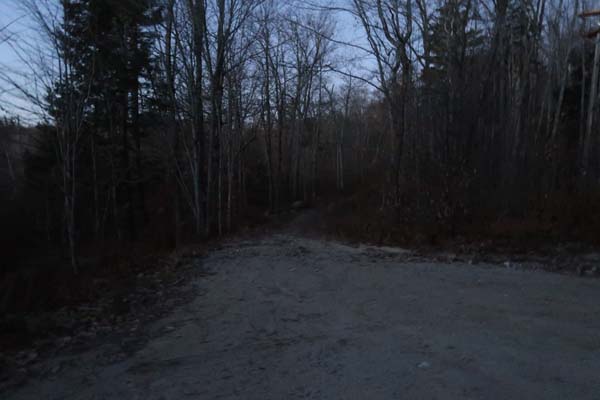
Looking down the Straightback Mountain Trail
Route: Logging road/snowmobile trail, Beaver Pond Trail, Straightback Mountain Trail, (Straightback Mountain), Straightback Mountain Trail, Beaver Pond Trail, logging road/snowmobile trail
Trail was snow free and mostly dry.
The eroded logging road portion was tricky due to leaves and loose rock.
Quite a few patches of ice on the ledges up high, but all avoidable with care.
| Hike Ratings |
|
Getting To Trailhead: |
Easy |
| Destination: |
Straightback Mountain |
|
Length: |
Moderate |
|
Steepness: |
Moderate |
|
Navigation: |
Moderate |
|
Views: |
Excellent |
|
Crowds: |
Minimal |
|
| Hike Stats |
|
Date Hiked: |
Saturday, November 25, 2017 |
| Parking Elevation: |
730' |
| Destination: |
Straightback Mountain |
| Time Elapsed: |
00:33 |
| Trailhead Elevation: |
730' |
| Summit Elevation: |
1,890' |
| Distance: |
1.5 miles |
| Vertical Gain: |
1,175' |
|
|
| Hike Time Elapsed: |
01:12 |
| Hike Vertical Gain: |
1,190' |
|
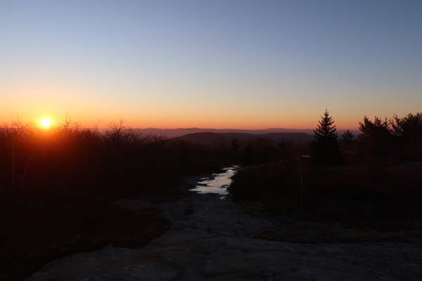
The beginning of the woods road adjacent to the marsh near the end of Jesus Valley Road
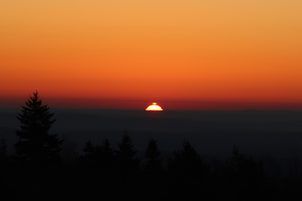
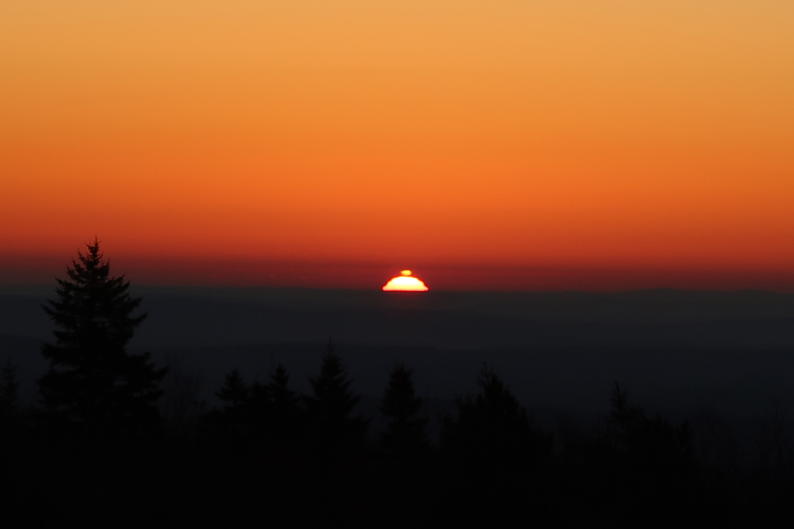
The sunrise from Straightback Mountain
Directions to trailhead: Take Route 11 West from Alton Bay. Take a left onto Jesus Valley Road. Just prior to the road ending, there will be a swamp/pond on the left side (and just after this, a private property sign). There is room to park roadside next to the swamp. A woods road starts just after the swamp/pond on the left.
Back to Straightback Mountain Profile
|