Home
States
Colorado
Connecticut
Maine
Massachusetts
New Hampshire
New York
Rhode Island
Utah
Vermont
View All
Lists
NE 4,000 Footers
NE 100 Highest
NH 4,000 Footers
NH 100 Highest
NH 52 With A View
NH Belknap Range
NH Ossipee 10
Links
Trail Conditions
Trip Log
Sunrises
Sunsets
About
|
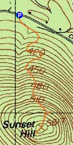
Sunset Hill
Newbury, NH
Trailheads, measurements, times, distances, and maps are all approximate and relative to the hike(s) as shown below.
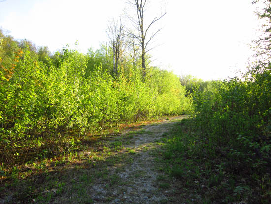
The Sunset Hill Trail
Route: Sunset Hill Trail
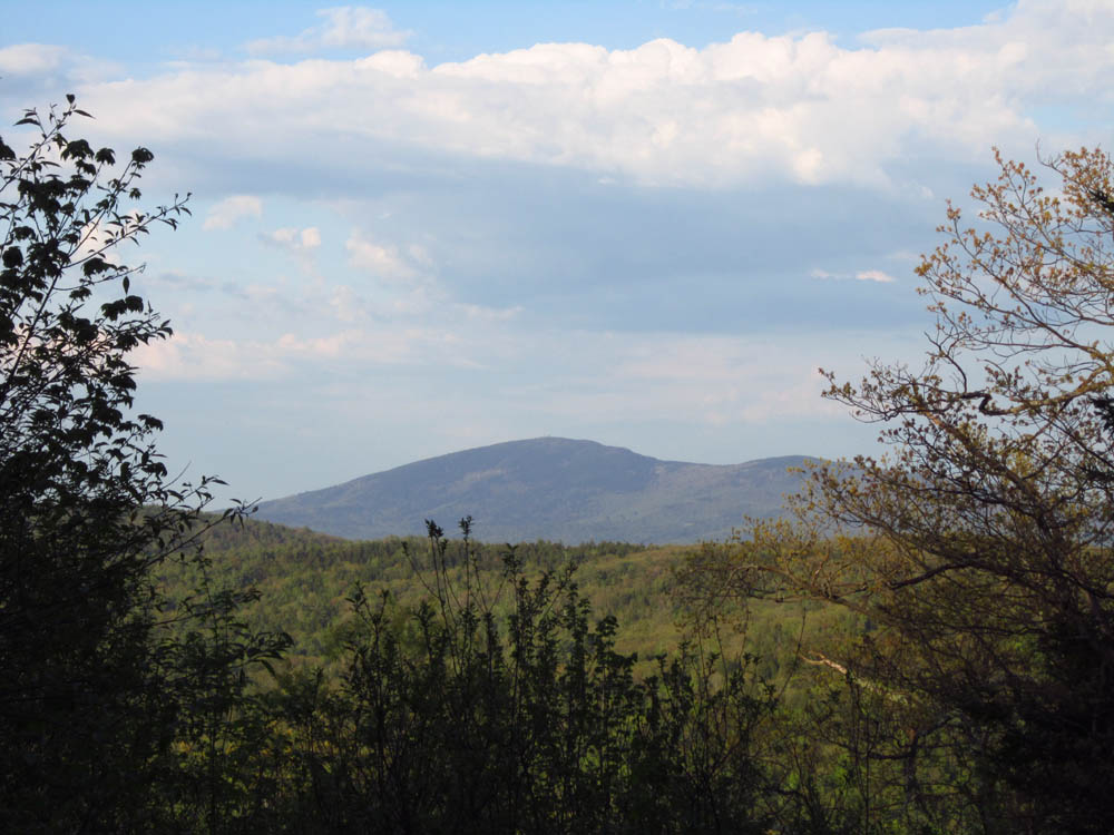
The first portion, an old development road, was very smooth and gradual. The trail above that was fairly tame as well. Obstructed views of Mt. Sunapee from near the summit, as well as a narrow directional view toward Kearsarge from a spur below the summit.
| Hike Ratings |
|
Getting To Trailhead: |
Easy |
| Destination: |
Sunset Hill |
|
Length: |
Easy |
|
Steepness: |
Easy |
|
Navigation: |
Easy |
|
Views: |
Moderate |
|
Crowds: |
Minimal |
|
| Hike Stats |
|
Date Hiked: |
Sunday, May 13, 2012 |
| Parking Elevation: |
1,295' |
| Destination: |
Sunset Hill |
| Time Elapsed: |
00:15 |
| Trailhead Elevation: |
1,295' |
| Summit Elevation: |
1,820' |
| Distance: |
0.9 mile |
| Vertical Gain: |
525' |
|
|
| Hike Time Elapsed: |
00:36 |
| Hike Vertical Gain: |
525' |
|

The Sunset Hill Trail trailhead on Chalk Pond Road

Trillium
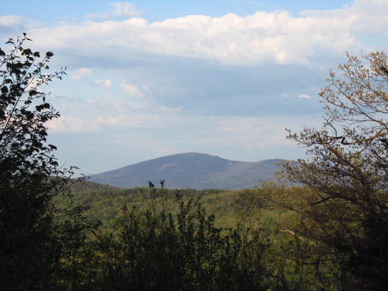
Mt. Kearsarge as seen from near the summit of Sunset Hill

Directions to trailhead: From Newbury, take Route 103A North, then take a right onto Chalk Pond Road. The Sunset Hill Trail trailhead will eventually be on the right.
Back to Sunset Hill Profile
|