Home
States
Colorado
Connecticut
Maine
Massachusetts
New Hampshire
New York
Rhode Island
Utah
Vermont
View All
Lists
NE 4,000 Footers
NE 100 Highest
NH 4,000 Footers
NH 100 Highest
NH 52 With A View
NH Belknap Range
NH Ossipee 10
Links
Trail Conditions
Trip Log
Sunrises
Sunsets
About
|
Tenney Mountain
Groton, NH, Plymouth, NH
Trailheads, measurements, times, distances, and maps are all approximate and relative to the hike(s) as shown below.
Looking down the ski trails
Route: Ski trails, bushwhack, (Tenney Mountain), bushwhack, ski trails
Followed a snowshoe track to the top of the old chairlift. 5-10 inches of snowpack.
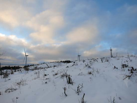
From the top of the chairlift, I bushwhacked to a boundary swatch, then when the windfarm clearcut was visible, I bushwhacked to it and across to the unmarked highpoint (either on the woodline or a bare crag...I suspect the former). Some deep drifts in some places and other places blown to the crust, but the clearcut junk was covered enough to make for smooth snowshoeing. Apart from the eerie turbine sights and sounds, there were fantastic views.
| Hike Ratings |
|
Getting To Trailhead: |
Moderate |
| Destination: |
Tenney Mountain |
|
Length: |
Moderate |
|
Steepness: |
Difficult |
|
Navigation: |
Difficult |
|
Views: |
Excellent |
|
Crowds: |
Minimal |
|
| Hike Stats |
|
Date Hiked: |
Thursday, January 15, 2015 |
| Parking Elevation: |
850' |
| Destination: |
Tenney Mountain |
| Time Elapsed: |
01:01 |
| Trailhead Elevation: |
860' |
| Summit Elevation: |
2,350' |
| Vertical Gain: |
1,520' |
|
|
| Hike Time Elapsed: |
02:19 |
| Hike Vertical Gain: |
1,560' |
|

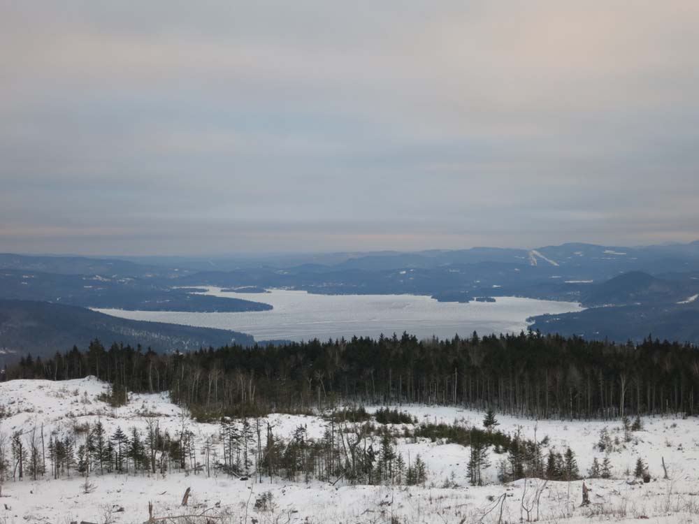
Looking south at Newfound Lake from near the summit of Tenney Mountain
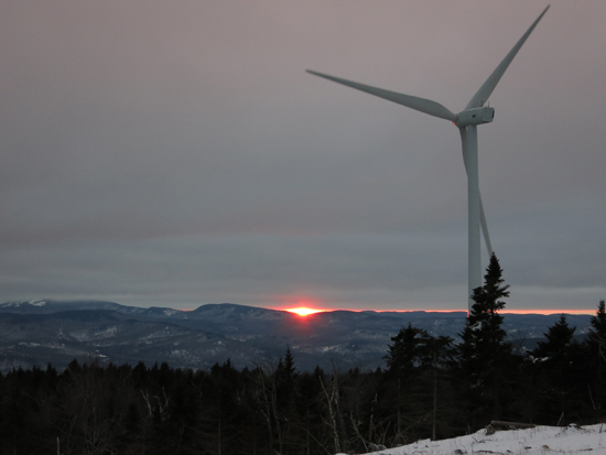
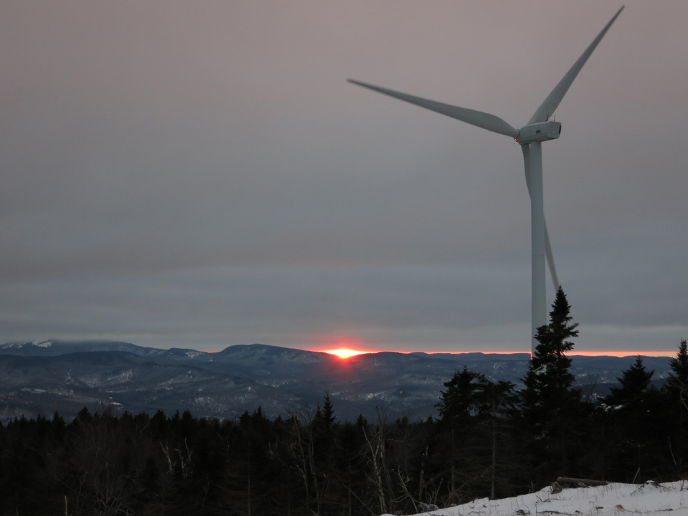
The sunset from near the summit of Tenney Mountain
Directions to trailhead: Take Route 25 West from Plymouth. At the rotary, take Route 3A South. The Tenney Mountain access road will eventually be on the right. While there is parking at the old ski area parking lots, the immediate area around the old base lodge is posted No Trespassing.
Back to Tenney Mountain Profile
|