Home
States
Colorado
Connecticut
Maine
Massachusetts
New Hampshire
New York
Rhode Island
Utah
Vermont
View All
Lists
NE 4,000 Footers
NE 100 Highest
NH 4,000 Footers
NH 100 Highest
NH 52 With A View
NH Belknap Range
NH Ossipee 10
Links
Trail Conditions
Trip Log
Sunrises
Sunsets
About
|
The Bulge, Mt. Cabot, The Horn
Stark, NH, Kilkenny, NH
Trailheads, measurements, times, distances, and maps are all approximate and relative to the hike(s) as shown below.
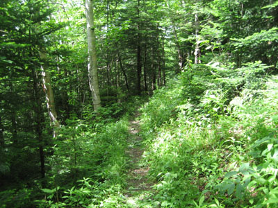
Looking down the Unknown Pond Trail
Route: Unknown Pond Trail, Kilkenny Ridge Trail, (The Bulge), Kilkenny Ridge Trail, (Mt. Cabot), Kilkenny Ridge Trail, (The Bulge), Kilkenny Ridge Trail, spur trail, (The Horn), Kilkenny Ridge Trail, Unknown Pond Trail
Once again, the weather forecast was looking pretty poor. I decided to try a new (to me) trail - the northern branch of the Unknown Pond Trail.
Though there was a little bit of mud on the flats at the beginning of the Unknown Pond Trail (gee, I wonder why the trail would be muddy when hiking in the rain?), it was pretty good going once the trail started to ascend. Never overly steep, the trail had decent footing all the way to Unknown Pond.
As I neared the Horn, I could see the mist all around me starting to brighten. Thus, I skipped the Horn and continued to the Bulge and finally to Mt. Cabot.
After reaching the highpoint (perhaps 100 feet away from the summit sign), I headed over to the blowdown patch vista to get a quick view of mist.
Back on the Kilkenny Ridge Trail, I could see the mist starting to lift as I descended from the Bulge. Sure enough, as I reached a crowded Horn, I was treated to progressively better views. Initially just looking toward Berlin, the range of views eventually increased to the near-panoramic vista that is the Horn.
After having some lunch, I headed back down to Unknown Pond and the Unknown Pond Trail. Like the southern segment, the northern segment of the Unknown Pond Trail looks to be a potentially great place to visit during the fall foliage season.
| Hike Ratings |
|
Getting To Trailhead: |
Easy |
| Destination: |
The Bulge |
|
Length: |
Moderate |
|
Steepness: |
Difficult |
|
Navigation: |
Easy |
|
Views: |
Minimal |
|
Crowds: |
Minimal |
| Destination: |
Mt. Cabot |
|
Length: |
Moderate |
|
Steepness: |
Difficult |
|
Navigation: |
Easy |
|
Views: |
Minimal (due to weather) |
|
Crowds: |
Heavy |
| Destination: |
The Horn |
|
Length: |
Moderate |
|
Steepness: |
Very Difficult |
|
Navigation: |
Easy |
|
Views: |
Excellent |
|
Crowds: |
Heavy |
|
| Hike Stats |
|
Date Hiked: |
Friday, July 3, 2009 |
| Hike Commenced: |
9:18 AM |
| Parking Elevation: |
1,755' |
| Destination: |
The Bulge |
| Ascent Commenced: |
9:18 AM |
| Summit Reached: |
11:17 AM |
| Time Elapsed: |
01:59 |
| Trailhead Elevation: |
1,755' |
| Summit Elevation: |
3,950' |
| Vertical Gain: |
2,425' |
| Destination: |
Mt. Cabot |
| Ascent Commenced: |
11:17 AM |
| Summit Reached: |
11:44 AM |
| Time Elapsed: |
00:27 |
| Trailhead Elevation: |
1,770' |
| Summit Elevation: |
4,170' |
| Vertical Gain: |
485' |
| Destination: |
The Bulge |
| Ascent Commenced: |
11:48 AM |
| Summit Reached: |
12:17 PM |
| Time Elapsed: |
00:29 |
| Trailhead Elevation: |
4,170' |
| Summit Elevation: |
3,950' |
| Vertical Gain: |
265' |
| Destination: |
The Horn |
| Ascent Commenced: |
12:17 PM |
| Summit Reached: |
12:33 PM |
| Time Elapsed: |
00:16 |
| Trailhead Elevation: |
3,950' |
| Summit Elevation: |
3,905' |
| Vertical Gain: |
255' |
|
|
| Hike Ended: |
3:20 PM |
| Hike Time Elapsed: |
06:02 |
| Hike Distance: |
10.6 miles |
| Hike Vertical Gain: |
3,665' |
|
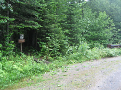
The Unknown Pond Trail trailhead
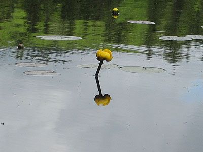
A yellow pond lily on Unknown Pond
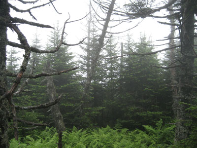
The lack of views from the Bulge
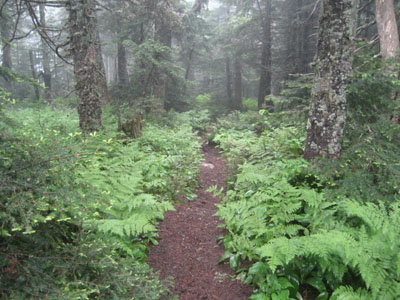
The Kilkenny Ridge Trail to Mt. Cabot
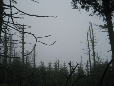
Looking into the fog from near the summit of Mt. Cabot
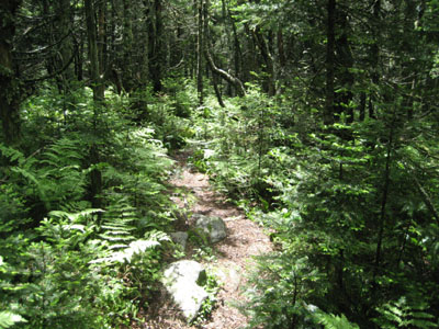
The spur trail to the Horn
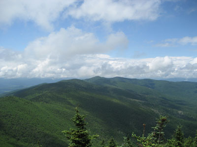
The Pilot Range as seen from the Horn
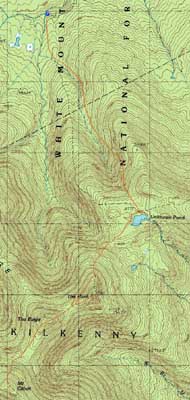

Directions to trailhead: Take 110 West from Berlin to Stark. Take a left onto Mill Brook Road. The Unknown Pond Trail trailhead will eventually be on the left, just before the second one-lane bridge, with some room for roadside parking on either end of the bridge.
Back to The Bulge Profile
Back to Mt. Cabot Profile
Back to The Horn Profile
|