Home
States
Colorado
Connecticut
Maine
Massachusetts
New Hampshire
New York
Rhode Island
Utah
Vermont
View All
Lists
NE 4,000 Footers
NE 100 Highest
NH 4,000 Footers
NH 100 Highest
NH 52 With A View
NH Belknap Range
NH Ossipee 10
Links
Trail Conditions
Trip Log
Sunrises
Sunsets
About
|
The Fool Killer
Waterville Valley, NH
Trailheads, measurements, times, distances, and maps are all approximate and relative to the hike(s) as shown below.
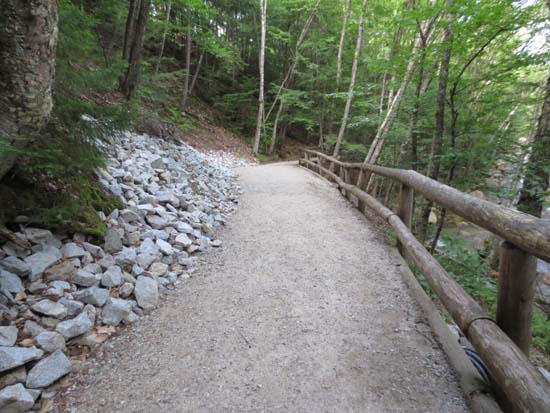
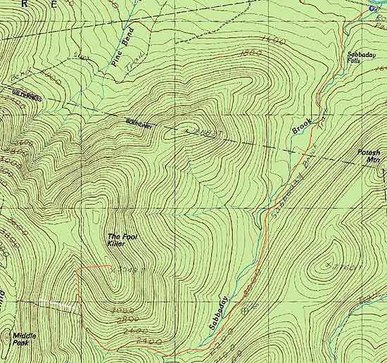
The recently rebuilt lower Sabbaday Brook Trail
Route: Sabbaday Brook Trail, bushwhack
Sabbaday Brook Trail was a traffic jam up to the falls, then smooth sailing thereafter. Other than a few washed out or muddy areas, the trail still has good footing post Irene.
I chose to head into the woods around 3,000 or so feet in elevation, where the trail takes a 90 degree turn over a tributary crossing. I angled around to try to stay in good woods, using an old skid road to help skirt around some stuff part way up. Though not Unknown Pond Peak easy, it was relative smooth sailing as compared to many other White Mountain bushwhacks. Hit the ridge about a minute from the recognized highpoint. Took a slight variation on the way down to avoid some spruce and deadfall.
| Hike Ratings |
|
Getting To Trailhead: |
Easy |
| Destination: |
The Fool Killer |
|
Length: |
Moderate |
|
Steepness: |
Difficult |
|
Navigation: |
Very Difficult |
|
Views: |
Minimal |
|
Crowds: |
Heavy |
|
| Hike Stats |
|
Date Hiked: |
Thursday, July 25, 2013 |
| Parking Elevation: |
1,320' |
| Destination: |
The Fool Killer |
| Time Elapsed: |
02:06 |
| Trailhead Elevation: |
1,320' |
| Summit Elevation: |
3,548' |
| Vertical Gain: |
2,368' |
|
|
| Hike Time Elapsed: |
04:05 |
| Hike Vertical Gain: |
2,508' |
|
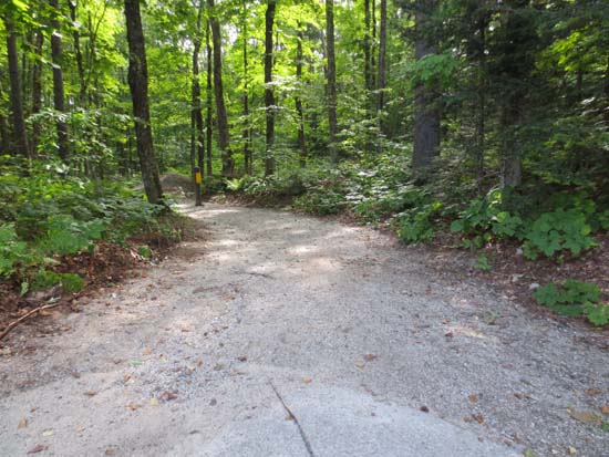
The Sabbaday Brook Trail trailhead
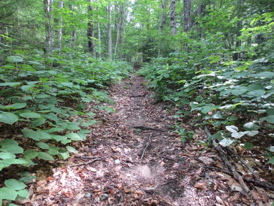
The Sabbaday Brook Trail
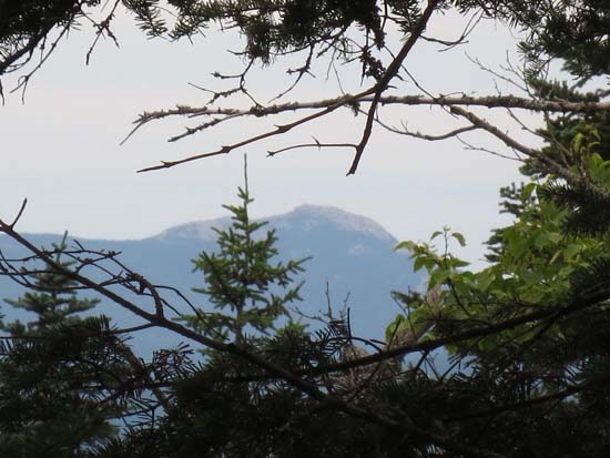
Slight views of Mt. Chocorua from near the summit of The Fool Killer

Back to The Fool Killer Profile
|