Home
States
Colorado
Connecticut
Maine
Massachusetts
New Hampshire
New York
Rhode Island
Utah
Vermont
View All
Lists
NE 4,000 Footers
NE 100 Highest
NH 4,000 Footers
NH 100 Highest
NH 52 With A View
NH Belknap Range
NH Ossipee 10
Links
Trail Conditions
Trip Log
Sunrises
Sunsets
About
|
The Nubble
Bethlehem, NH
Trailheads, measurements, times, distances, and maps are all approximate and relative to the hike(s) as shown below.
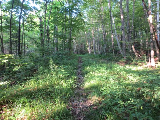
Heading up the logging road on the way to the Nubble
Route: Logging roads, herd path
Starting at the gate at the end of Gale River Road East, I followed a grassy logging road, continuing as it worked its way along side a clearcut. Logging road was mostly dry with a few minor patches of mud. Grass is kind of tall, but there is a worn path. Where the road wanted to turn left, I beared right onto an older road, then another right shortly there after to another older road, then followed a series of herd paths. Herd path is overgrown by hobblebush in a few places. I crossed the brook too soon (hadn't been here since Irene, so was just following the fresh tracks, which ended up being moose tracks), so I ended up bushwhacking a little bit until I rejoined the path just south of the Nubble. The section I had missed had some slippery rocks alongside the brook.
The actual scrambles up the Nubble were dry. Some blueberries up top, but not many (and very few now, as I needed something to do whilst waiting for the sunset).
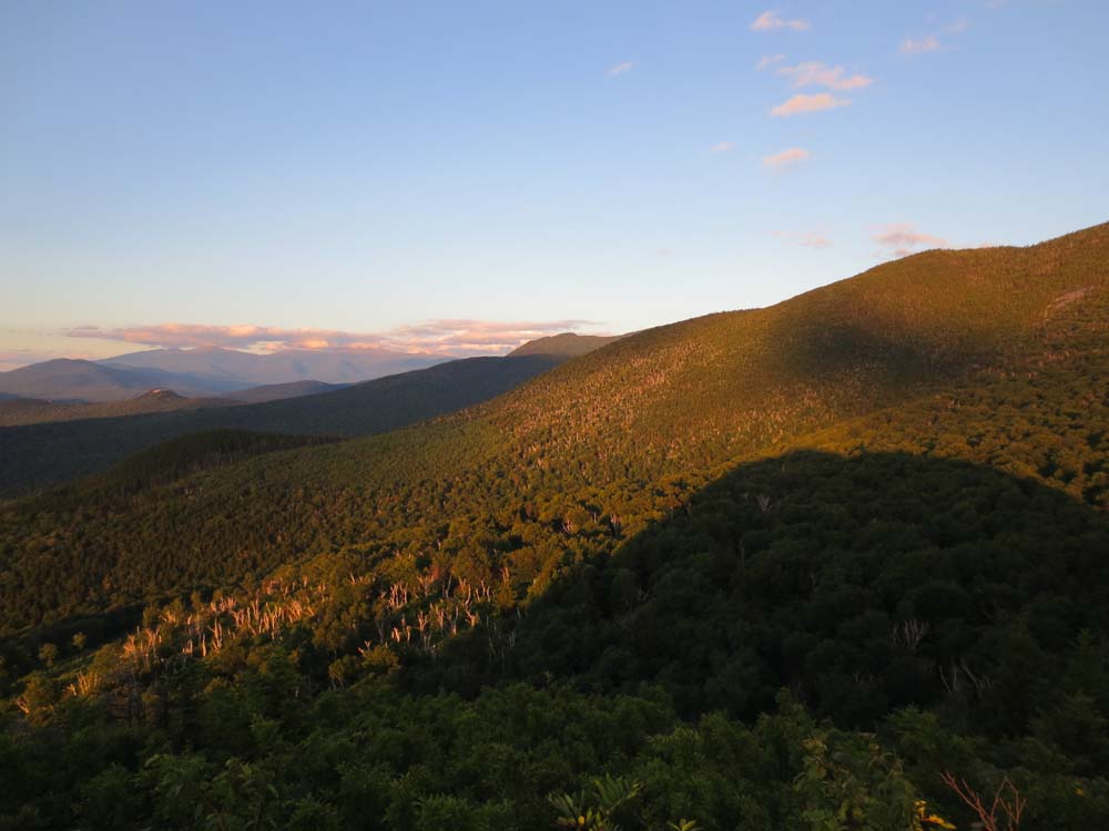
Spectacular views from the summit. Similar feel to the nearby Sugarloaves, but without the crowds.
| Hike Ratings |
|
Getting To Trailhead: |
Difficult |
| Destination: |
The Nubble |
|
Length: |
Moderate |
|
Steepness: |
Very Difficult |
|
Navigation: |
Difficult |
|
Views: |
Excellent |
|
Crowds: |
Minimal |
|
| Hike Stats |
|
Date Hiked: |
Tuesday, July 30, 2013 |
| Parking Elevation: |
1,920' |
| Destination: |
The Nubble |
| Time Elapsed: |
00:32 |
| Trailhead Elevation: |
1,920' |
| Summit Elevation: |
2,713' |
| Distance: |
1.6 miles |
| Vertical Gain: |
853' |
|
|
| Hike Time Elapsed: |
01:41 |
| Hike Vertical Gain: |
913' |
|
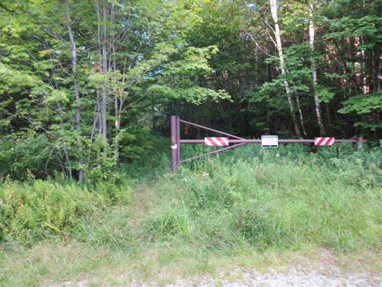
The gate at the end of Gale River Road East
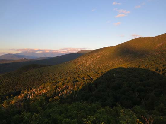
Looking toward the Presidentials as the Nubble cast its shadow
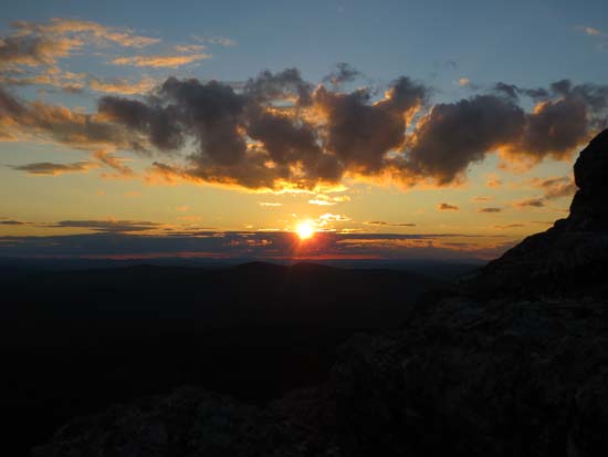
The sunset as seen from the Nubble
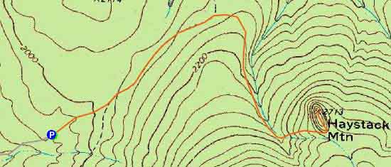

Directions to trailhead: Take Route 3 South from US 302. Take a left for the Gale River camping/hiking area. Shortly after, bear left at the fork in the road. Continue down up road, continuing straight at the right turn for Gale River Trail. At the end of the road there will be a gate with a small parking area on the left.
Back to The Nubble Profile
|