Home
States
Colorado
Connecticut
Maine
Massachusetts
New Hampshire
New York
Rhode Island
Utah
Vermont
View All
Lists
NE 4,000 Footers
NE 100 Highest
NH 4,000 Footers
NH 100 Highest
NH 52 With A View
NH Belknap Range
NH Ossipee 10
Links
Trail Conditions
Trip Log
Sunrises
Sunsets
About
|
Tucker Mountain
Hill, NH
Trailheads, measurements, times, distances, and maps are all approximate and relative to the hike(s) as shown below.
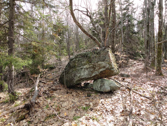
Open woods on the way up Tucker Mountain
Route: Bushwhack
After spotting a ledge in an aerial photo, I put Tucker Mountain on my to do list. A little bit of research yielded no information about a trail, so I decided to attempt a bushwhack up from the north.
Starting from King Road, I had fairly smooth sailing through generally open woods all the way to the summit. After finding a quasi-cairn, I continued south to the ledge I had seen, from where there was a grown in view of Kearsage. In addition, without leaves yet, there were peaks at other places to the south and east. Also of note, I observed a stone wall just below the ledge, as well as a few random cairns. No sign of any active trail, though.
| Hike Ratings |
|
Getting To Trailhead: |
Moderate |
| Destination: |
Tucker Mountain |
|
Length: |
Easy |
|
Steepness: |
Moderate |
|
Navigation: |
Difficult |
|
Views: |
Moderate |
|
Crowds: |
Minimal |
|
| Hike Stats |
|
Date Hiked: |
Wednesday, April 27, 2011 |
| Parking Elevation: |
1,120' |
| Destination: |
Tucker Mountain |
| Time Elapsed: |
00:18 |
| Trailhead Elevation: |
1,120' |
| Summit Elevation: |
1,644' |
| Vertical Gain: |
564' |
|
|
| Hike Time Elapsed: |
00:51 |
| Hike Vertical Gain: |
604' |
|
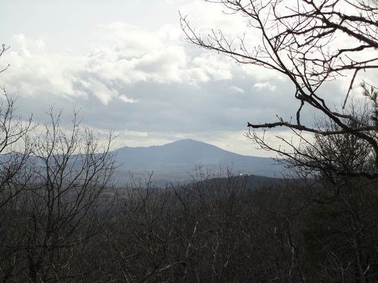
Looking at Mt. Kearsarge from the Tucker Mountain ledge
Back to Tucker Mountain Profile
|

