Home
States
Colorado
Connecticut
Maine
Massachusetts
New Hampshire
New York
Rhode Island
Utah
Vermont
View All
Lists
NE 4,000 Footers
NE 100 Highest
NH 4,000 Footers
NH 100 Highest
NH 52 With A View
NH Belknap Range
NH Ossipee 10
Links
Trail Conditions
Trip Log
Sunrises
Sunsets
About
|
West Sleeper, East Sleeper, Mt. Tripyramid (South Peak), Mt. Tripyramid (Middle Peak), Mt. Tripyramid (North Peak)
Waterville Valley, NH
Trailheads, measurements, times, distances, and maps are all approximate and relative to the hike(s) as shown below.

A subpar culvert on the Livermore Road
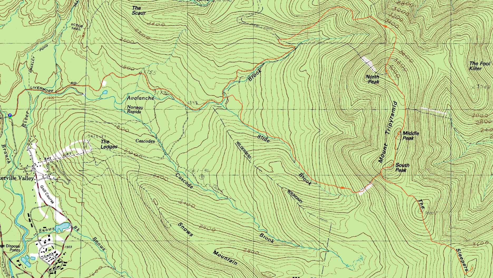
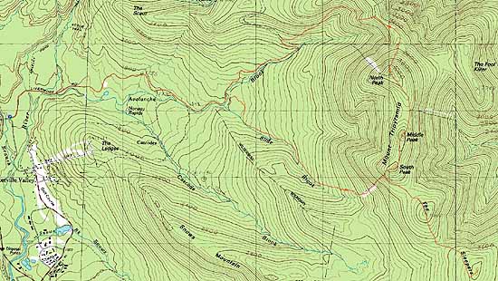
Route: Livermore Road/Trail, Mt. Tripyramid Trail, Kate Sleeper Trail, herd path, (West Sleeper), Kate Sleeper Trail, herd path, (East Sleeper), Kate Sleeper Trail, Mt. Tripyramid Trail, (Mt. Tripyramid South Peak), Mt. Tripyramid Trail, (Mt. Tripyramid Middle Peak), Mt. Tripyramid Trail, (Mt. Tripyramid North Peak), Pine Bend Brook Trail, Scaur Ridge Trail, Livermore Road/Trail
While my original plan had been to hike to East Sleeper and back, the scope expanded to checking out the Tripyramids and the Scaur Ridge Trail.
The normally smooth Livermore Road/Trail was not quite as smooth with numerous washouts courtesy Hurricane Irene. The Mt. Tripyramid Trail to the south slide generally held on well. The south slide was a little more loose than normal.
After passing through the east part of the south slide on the Kate Sleeper Trail, it was fairly smooth sailing all the way to East Sleeper, aside from a blowdown patch, which I was able to clean up.
Running short on daylight, I had to make decent time across the Tripyramids, which in one way wasn't hard to do, as the views were becoming obscured by clouds. The Pine Bend Brook Trail had taken on some additional erosion, making for slower going. The normally smooth Scaur Ridge Trail was not quite as smooth due to some new erosion as well.
The Livermore Trail below the north Mt. Tripyramid Trail junction was really badly beaten up. A once monotonous but smooth walk out has become a rough one.
| Hike Ratings |
|
Getting To Trailhead: |
Easy |
| Destination: |
West Sleeper |
|
Length: |
Moderate |
|
Steepness: |
Very Difficult |
|
Navigation: |
Moderate |
|
Views: |
Minimal |
|
Crowds: |
Minimal |
| Destination: |
East Sleeper |
|
Length: |
Moderate |
|
Steepness: |
Easy |
|
Navigation: |
Easy |
|
Views: |
Minimal |
|
Crowds: |
Minimal |
| Destination: |
Mt. Tripyramid (South Peak) |
|
Length: |
Difficult |
|
Steepness: |
Very Difficult |
|
Navigation: |
Moderate |
|
Views: |
Minimal |
|
Crowds: |
Minimal |
| Destination: |
Mt. Tripyramid (Middle Peak) |
|
Length: |
Difficult |
|
Steepness: |
Very Difficult |
|
Navigation: |
Easy |
|
Views: |
Excellent |
|
Crowds: |
Minimal |
| Destination: |
Mt. Tripyramid (North Peak) |
|
Length: |
Difficult |
|
Steepness: |
Difficult |
|
Navigation: |
Easy |
|
Views: |
Moderate (due to weather) |
|
Crowds: |
Minimal |
|
| Hike Stats |
|
Date Hiked: |
Thursday, September 1, 2011 |
| Parking Elevation: |
1,560' |
| Destination: |
West Sleeper |
| Time Elapsed: |
02:30 |
| Trailhead Elevation: |
1,560' |
| Summit Elevation: |
3,881' |
| Vertical Gain: |
2,561' |
| Destination: |
East Sleeper |
| Time Elapsed: |
00:29 |
| Trailhead Elevation: |
1,560' |
| Summit Elevation: |
3,840' |
| Vertical Gain: |
320' |
| Destination: |
Mt. Tripyramid (South Peak) |
| Time Elapsed: |
00:52 |
| Trailhead Elevation: |
1,560' |
| Summit Elevation: |
4,080' |
| Vertical Gain: |
740' |
| Destination: |
Mt. Tripyramid (Middle Peak) |
| Time Elapsed: |
00:10 |
| Trailhead Elevation: |
4,080' |
| Summit Elevation: |
4,140' |
| Distance: |
.4 mile |
| Vertical Gain: |
200' |
| Destination: |
Mt. Tripyramid (North Peak) |
| Time Elapsed: |
00:20 |
| Trailhead Elevation: |
4,140' |
| Summit Elevation: |
4,180' |
| Distance: |
.8 mile |
| Vertical Gain: |
340' |
|
|
| Hike Time Elapsed: |
06:10 |
| Hike Vertical Gain: |
4,241' |
|
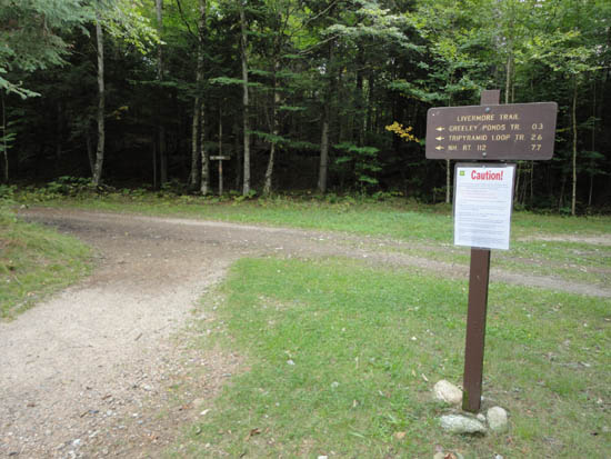
The Livermore Road/Trail trailhead at the Livermore parking area
Looking down the south slide on the way to West Sleeper

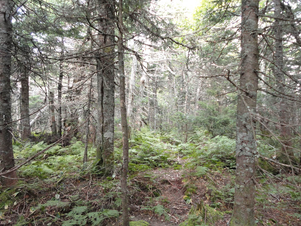
360 degree views of trees on West Sleeper
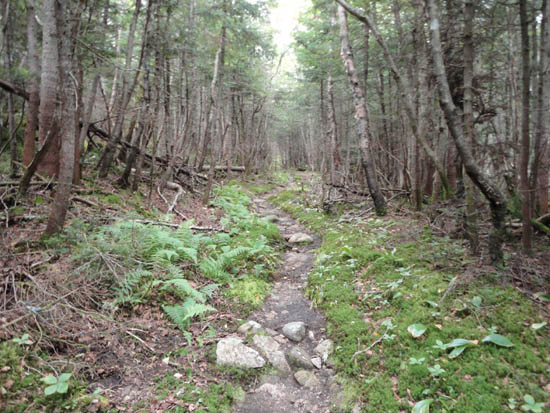
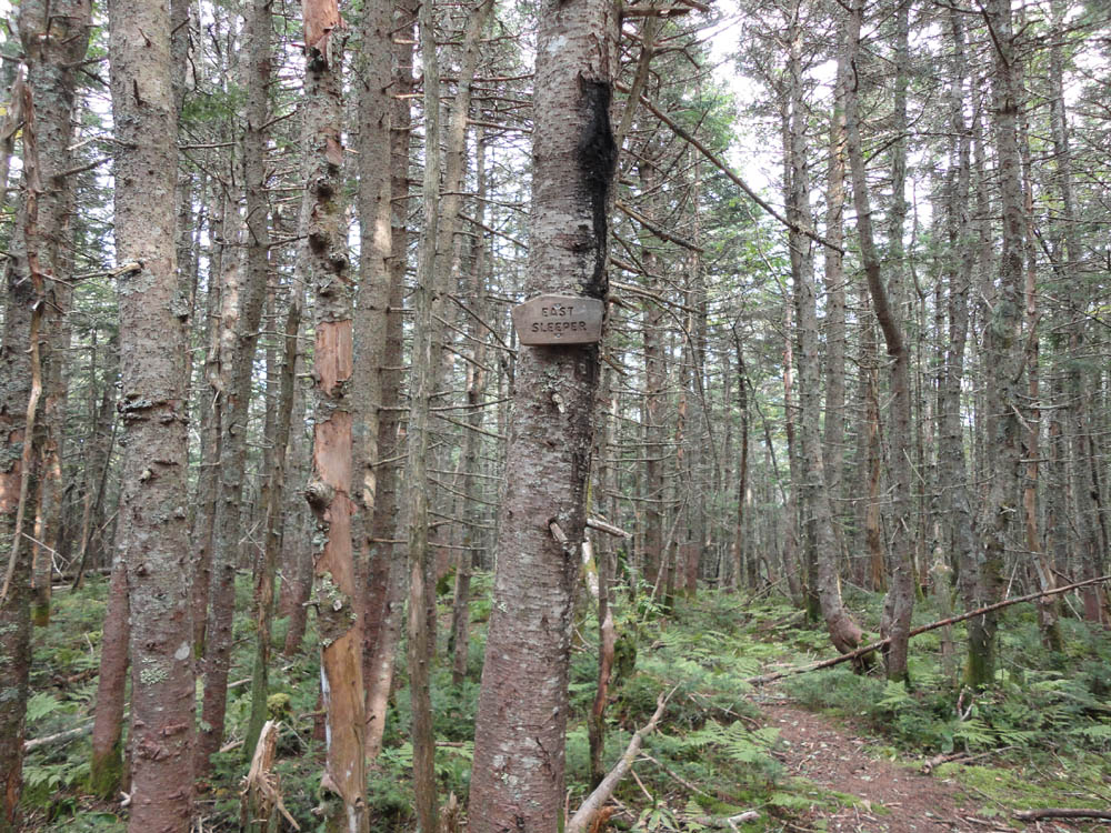
The Kate Sleeper Trail to East Sleeper
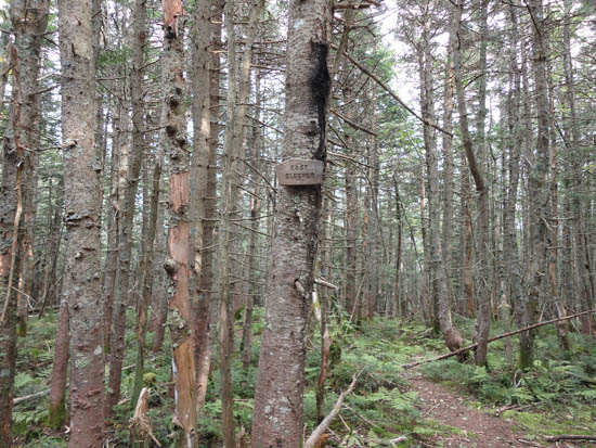
360 degree views of trees on East Sleeper

Heading up the East South Slide on the Kate Sleeper Trail on the way to South Tripyramid

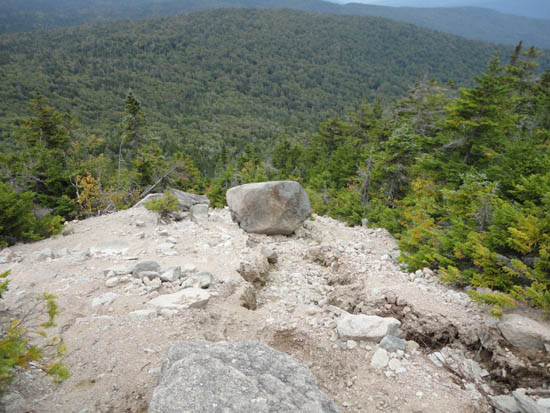
Slight views from South Tripyramid

The Mt. Tripyramid Trail on Middle Tripyramid

South Tripyramid and Sandwich Dome as seen from Middle Tripyramid

The Mt. Tripyramid Trail near North Tripyramid

Church Pond as seen from North Tripyramid

The washed out Livermore Trail between the Tripyramid junctions

Directions to trailhead: Take Tripoli Road from the Waterville Valley ski area entrance to Livermore Road. The Livermore WMNF fee parking lot and trailhead are on the left (the rest/bulk of Livermore Road is closed to auto traffic).
Back to West Sleeper Profile
Back to East Sleeper Profile
Back to Mt. Tripyramid (South Peak) Profile
Back to Mt. Tripyramid (Middle Peak) Profile
Back to Mt. Tripyramid (North Peak) Profile
|