Home
States
Colorado
Connecticut
Maine
Massachusetts
New Hampshire
New York
Rhode Island
Utah
Vermont
View All
Lists
NE 4,000 Footers
NE 100 Highest
NH 4,000 Footers
NH 100 Highest
NH 52 With A View
NH Belknap Range
NH Ossipee 10
Links
Trail Conditions
Trip Log
Sunrises
Sunsets
About
|
White Ledge
Albany, NH
Trailheads, measurements, times, distances, and maps are all approximate and relative to the hike(s) as shown below.
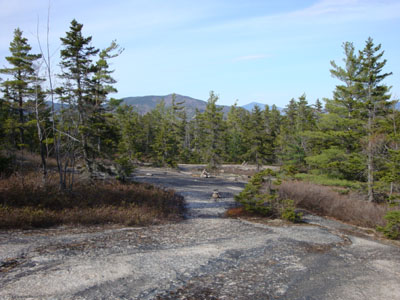
Looking down the northern branch of the White Ledge Trail
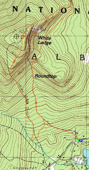
Route: White Ledge Trail
With clouds moving in, I only had a few hours of sun. Since I had long been interested in hiking the Route 16 side of the White Ledge Trail, I decided to give it a go.
After parking along the northbound shoulder of Route 16, I was soon on my way up first part of the White Ledge Trail. I was pleasantly surprised to see my first leaves of the spring - and not as pleasantly surprised to deal with the first black flies.
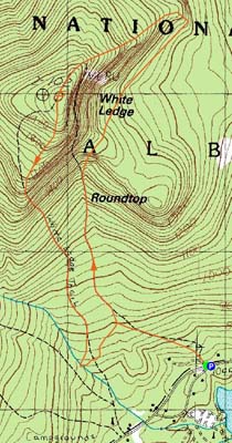
Starting off briefly as paved, the trail turned into a woods road for awhile, even beyond the junction with the spur trail to the campground. Though certainly not flat, the trail didn't get overly steep as it made its way past Roundtop. Dropping beyond there, the trail soon turned and climbed White Ledge proper.
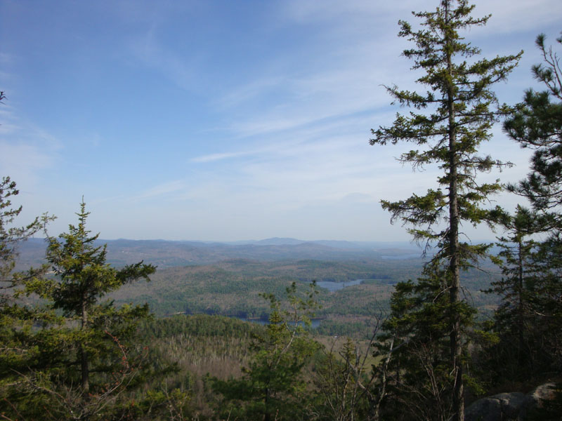
The views from this ledgy section of trail were quite good, with nice vistas of the Moats and Green Hills (and even a peak at Washington).
Reaching the someone anti-climatic summit, I had a staredown with a grouse for awhile, before heading over to the near-summit view ledges.
As was the case with the ascent, there was some blowdown work that needed to be done while descending the southern side of the loop. Fortunately the water crossings were fairly easily done.
After climbing back uphill to the Route 16 branch of the trail, it was a fairly gradual descent back to the road. While I was very underwhelmed with this hike when doing it as an out and back from the campground, I found the loop version to be much more scenic and enjoyable.
| Hike Ratings |
|
Getting To Trailhead: |
Easy |
| Destination: |
White Ledge |
|
Length: |
Moderate |
|
Steepness: |
Moderate |
|
Navigation: |
Easy |
|
Views: |
Excellent |
|
Crowds: |
Minimal |
|
| Hike Stats |
|
Date Hiked: |
Thursday, April 30, 2009 |
| Hike Commenced: |
3:19 PM |
| Parking Elevation: |
705' |
| Destination: |
White Ledge |
| Ascent Commenced: |
3:19 PM |
| Summit Reached: |
4:42 PM |
| Time Elapsed: |
01:23 |
| Trailhead Elevation: |
705' |
| Summit Elevation: |
2,010' |
| Vertical Gain: |
1,435' |
|
|
| Hike Ended: |
6:01 PM |
| Hike Time Elapsed: |
02:42 |
| Hike Vertical Gain: |
1,540' |
|
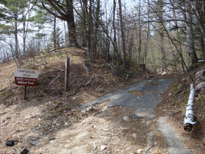
The White Ledge Trail trailhead on Route 16
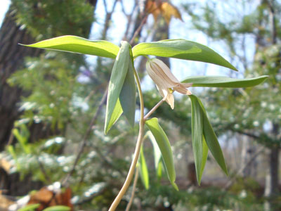
Bellwort along the White Ledge Trail
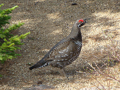
A grouse hanging around the summit
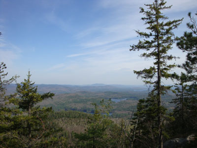
Looking at Green Mountain from near the summit of White Ledge

Directions to trailhead: From Chocorua Village, take Route 16 North past the White Ledge Campground. The White Ledge Trail trailhead will be on the left, opposite the northern junction of Pine Knoll Road. As of spring 2009, the trailhead sign is missing, though a 'Campground Ahead' sign is still there. There is limited room to park on the shoulder of Route 16 northbound, just beyond the trailhead.
Back to White Ledge Profile
|