Home
States
Colorado
Connecticut
Maine
Massachusetts
New Hampshire
New York
Rhode Island
Utah
Vermont
View All
Lists
NE 4,000 Footers
NE 100 Highest
NH 4,000 Footers
NH 100 Highest
NH 52 With A View
NH Belknap Range
NH Ossipee 10
Links
Trail Conditions
Trip Log
Sunrises
Sunsets
About
|
Whitten Woods - South Peak
Ashland, NH
Trailheads, measurements, times, distances, and maps are all approximate and relative to the hike(s) as shown below.
The Main Junction Trail
Route: Main Junction Trail, South Peak Trail
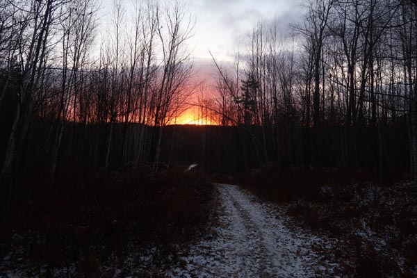
There was a dusting of snow from yesterday, but otherwise the trails were mostly dry. Cold morning with brisk winds on the summit. Not a particularly great sunrise perspective this time of year due to topography.
| Hike Ratings |
|
Getting To Trailhead: |
Easy |
| Destination: |
Whitten Woods - South Peak |
|
Length: |
Easy |
|
Steepness: |
Easy |
|
Navigation: |
Easy |
|
Views: |
Excellent |
|
Crowds: |
Minimal |
|
| Hike Stats |
|
Date Hiked: |
Wednesday, November 18, 2020 |
| Parking Elevation: |
750' |
| Destination: |
Whitten Woods - South Peak |
| Time Elapsed: |
00:10 |
| Trailhead Elevation: |
750' |
| Summit Elevation: |
1,136' |
| Distance: |
.9 mile |
| Vertical Gain: |
386' |
|
|
| Hike Time Elapsed: |
00:30 |
| Hike Distance: |
1.8 miles |
| Hike Vertical Gain: |
396' |
|
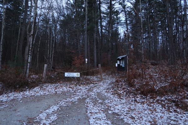
The Whitten Woods trailhead
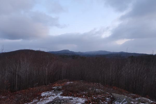
Looking north at Mt. Prospect from Whitten Woods South Peak

The sunrise from Whitten Woods South Peak
Directions to trailhead: The Whitten Woods trailhead and parking lot is located off Highland Street and Ashland, just to the north of the height of land.
Back to Whitten Woods - South Peak Profile
|