Home
States
Colorado
Connecticut
Maine
Massachusetts
New Hampshire
New York
Rhode Island
Utah
Vermont
View All
Lists
NE 4,000 Footers
NE 100 Highest
NH 4,000 Footers
NH 100 Highest
NH 52 With A View
NH Belknap Range
NH Ossipee 10
Links
Trail Conditions
Trip Log
Sunrises
Sunsets
About
|
Wildcat A
Green's Grant, NH, Bean's Purchase, NH
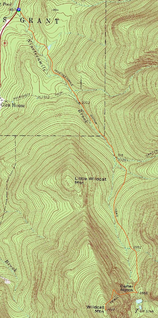
Trailheads, measurements, times, distances, and maps are all approximate and relative to the hike(s) as shown below.
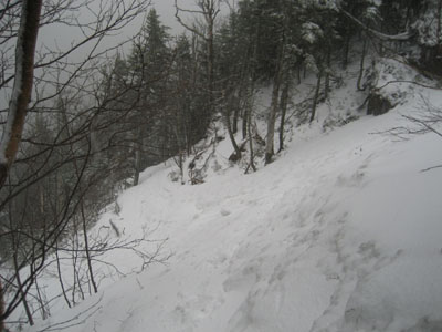
Looking across the slide on the Wildcat Ridge Trail
Route: Nineteen Mile Brook Trail, Wildcat Ridge Trail, bushwhack, Wildcat Ridge Trail, (Wildcat A), Wildcat Ridge Trail, Nineteen Mile Brook Trail
The forecast called for a partly cloudy afternoon. With some summer temperatures on their way, I decided I'd head up to Wildcat A for an afternoon hike. The drive up was a bit disheartening, however, as there was a decent amount of rain as I headed up through Pinkham Notch. No worries, warm weather approaching with sun!
The Nineteen Mile Brook Trail was rather bare up to the Carter Dome Trail junction. The roaring brook (from the recent rains) added plenty of background noise.
Not too long after passing the junction, it started to snow! Sunny, with warm weather approaching. Hah!
While I had used Microspikes up to the height of land, I decided to switch over to crampons for the Wildcat Ridge Trail. In addition, I pulled out my ice axe - it ended up being particularly useful as I slowly crossed the tricky slide (an inch or two of new powder over a very narrow and icy footbed.
Not wanting to follow an incorrect packed route up to the top of the ridge like I and many others had in March, I was eager to hook a left. Seeing rougher trail in front of me, I figured it was as good a time as any to do so, so I hooked a left, and soon found myself bushwhacking up the ridge. I ended up hooking the left a little bit too soon, but was able to angle my way up to the trail after five or ten minutes.
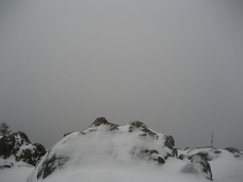
The near-summit vista was viewless, thanks to the snowstorm. As I descended back down the trail, I could hear (and then feel) the winds accelerating big time. Crossing the slide was particularly tricky, as the winds did their best to try to knock me over as I inched my way across.
Back in the relative safety of the notch, I put my Microspikes back on and jogged, where possible, back to the trailhead. Though unpleasant weatherwise in places, it was nonetheless nice to get out.
| Hike Ratings |
|
Getting To Trailhead: |
Easy |
| Destination: |
Wildcat A |
|
Length: |
Moderate |
|
Steepness: |
Difficult |
|
Navigation: |
Moderate |
|
Views: |
Minimal (due to weather) |
|
Crowds: |
Minimal |
|
| Hike Stats |
|
Date Hiked: |
Thursday, April 23, 2009 |
| Hike Commenced: |
4:06 PM |
| Parking Elevation: |
1,485' |
| Destination: |
Wildcat A |
| Ascent Commenced: |
4:06 PM |
| Summit Reached: |
6:15 PM |
| Time Elapsed: |
02:09 |
| Trailhead Elevation: |
1,485' |
| Summit Elevation: |
4,422' |
| Vertical Gain: |
3,007' |
|
|
| Hike Ended: |
7:53 PM |
| Hike Time Elapsed: |
03:47 |
| Hike Vertical Gain: |
3,077' |
|
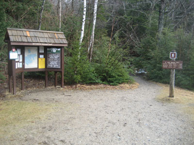
The Nineteen Mile Brook Trail trailhead off Route 16
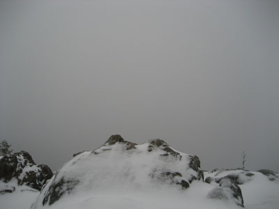
Looking into the snowstorm from the Wildcat A viewpoint
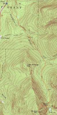

Directions to trailhead: Take Route 16 North past the Mt. Washington Auto Road entrance. Shortly thereafter, the Nineteen Mile Brook Trail WMNF fee parking area and trailhead are on the right side of the road, immediately after the brook.
Back to Wildcat A Profile
|