Home
States
Colorado
Connecticut
Maine
Massachusetts
New Hampshire
New York
Rhode Island
Utah
Vermont
View All
Lists
NE 4,000 Footers
NE 100 Highest
NH 4,000 Footers
NH 100 Highest
NH 52 With A View
NH Belknap Range
NH Ossipee 10
Links
Trail Conditions
Trip Log
Sunrises
Sunsets
About
|
Mt. Raimer
Petersburg, NY
Trailheads, measurements, times, distances, and maps are all approximate and relative to the hike(s) as shown below.
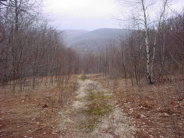
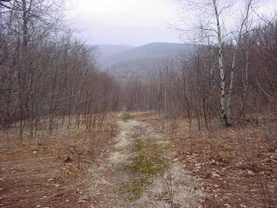
Trail to Mt. Raimer summit
Mt. Raimer is a fairly easy hike located just west of the Massachusetts border off Route 2. Home to an abandoned ski area, the hike offers decent views of New York and Massachusetts - surprisingly better at the trailhead than at the summit.
| Hike Ratings |
|
Getting To Trailhead: |
Easy |
| Destination: |
Mt. Raimer |
|
Length: |
Easy |
|
Steepness: |
Moderate |
|
Navigation: |
Moderate |
|
Views: |
Excellent |
|
Crowds: |
Minimal |
|
| Hike Stats |
|
Date Hiked: |
Saturday, April 13, 2002 |
| Parking Elevation: |
2,070' |
| Destination: |
Mt. Raimer |
| Summit Reached: |
10:12 PM |
| Trailhead Elevation: |
2,085' |
| Summit Elevation: |
2,575' |
| Vertical Gain: |
490' |
| Hike Vertical Gain: |
571' |
|
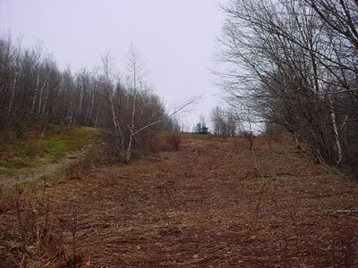
Near trailhead
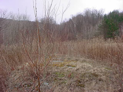
Looking north from near the summit
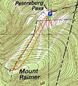

Directions to trailhead: Take Route 2 West from Route 7. Parking at very top of mountain, just after entering New York.
Back to Mt. Raimer profile
|