Home
States
Colorado
Connecticut
Maine
Massachusetts
New Hampshire
New York
Rhode Island
Utah
Vermont
View All
Lists
NE 4,000 Footers
NE 100 Highest
NH 4,000 Footers
NH 100 Highest
NH 52 With A View
NH Belknap Range
NH Ossipee 10
Links
Trail Conditions
Trip Log
Sunrises
Sunsets
About
|
Bald Mountain
Townshend, VT
Trailheads, measurements, times, distances, and maps are all approximate and relative to the hike(s) as shown below.

Bald Mountain Trail
I had been curious about Bald Mountain for some time - I had seen it mentioned numerous times on various hiking sites, however I hadn't seen any photos or first hand reviews. The day after a 70 degree January day, I decided to give it a shot.
There wasn't a soul to be found anywhere around the park. The second crossing over the Negro Brook was certainly a pain, as the rocks were submerged in the rushing water. After a few minutes of looking around, I found a few logs across the brook downstream.
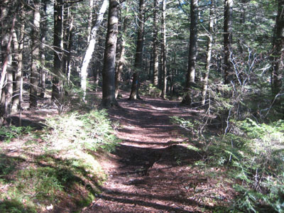
Most of the hike is moderately pitched, with the exception of a short, steep section near the summit.
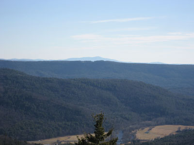
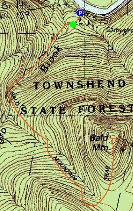
Upon reaching the summit, I was greeted with strong views of both the west and east. Though often described as a loop, the downhill trail was marked closed, thus forcing me to go back down the same trail.
| Hike Ratings |
|
Getting To Trailhead: |
Easy |
| Destination: |
Bald Mountain |
|
Length: |
Moderate |
|
Steepness: |
Difficult |
|
Navigation: |
Easy |
|
Views: |
Excellent |
|
Crowds: |
Minimal |
|
| Hike Stats |
|
Date Hiked: |
January 7, 2007 |
| Hike Commenced: |
9:37 AM |
| Parking Elevation: |
475' |
| Destination: |
Bald Mountain |
| Ascent Commenced: |
9:39 AM |
| Summit Reached: |
10:25 AM |
| Trailhead Elevation: |
560' |
| Summit Elevation: |
1,680' |
| Vertical Gain: |
1,230' |
| Hike Ended: |
11:44 AM |
| Hike Distance: |
3.4 miles |
| Hike Vertical Gain: |
1,435' |
|

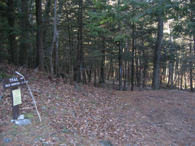
Bald Mountain Trail trailhead

Looking east over Putney Mountain at Mt. Monadnock


Directions to trailhead: Townshend State Forest is across the West River (west of it) from Route 30. The trailhead is across the road from the main park building.
Back to Bald Mountain Profile
|