Home
States
Colorado
Connecticut
Maine
Massachusetts
New Hampshire
New York
Rhode Island
Utah
Vermont
View All
Lists
NE 4,000 Footers
NE 100 Highest
NH 4,000 Footers
NH 100 Highest
NH 52 With A View
NH Belknap Range
NH Ossipee 10
Links
Trail Conditions
Trip Log
Sunrises
Sunsets
About
|
Jay Peak, Big Jay
Westfield, VT, Montgomery, VT
Trailheads, measurements, times, distances, and maps are all approximate and relative to the hike(s) as shown below.
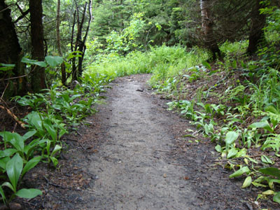
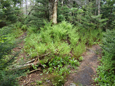
The Long Trail on the way to Jay Peak
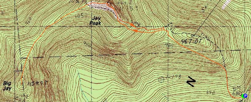
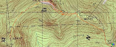
Route: Long Trail, (Jay Peak), Northway, Long Trail, herd path, (Big Jay), herd path, Long Trail, Northway, (Jay Peak), Vermonter, Long Trail
Waking up to a botched weather forecast (a recurring theme over the past few Junes), I opted not to hike in the rain cell approaching the area. Instead, I waited a bit, drove through it, and continued up to Jay Peak.
Starting at Route 242, the Long Trail was wet from the recent rain, but fortunately not too muddy. The bugs also weren't an issue. Reaching the second half of the climb, the wet ledges made things a bit tricky.
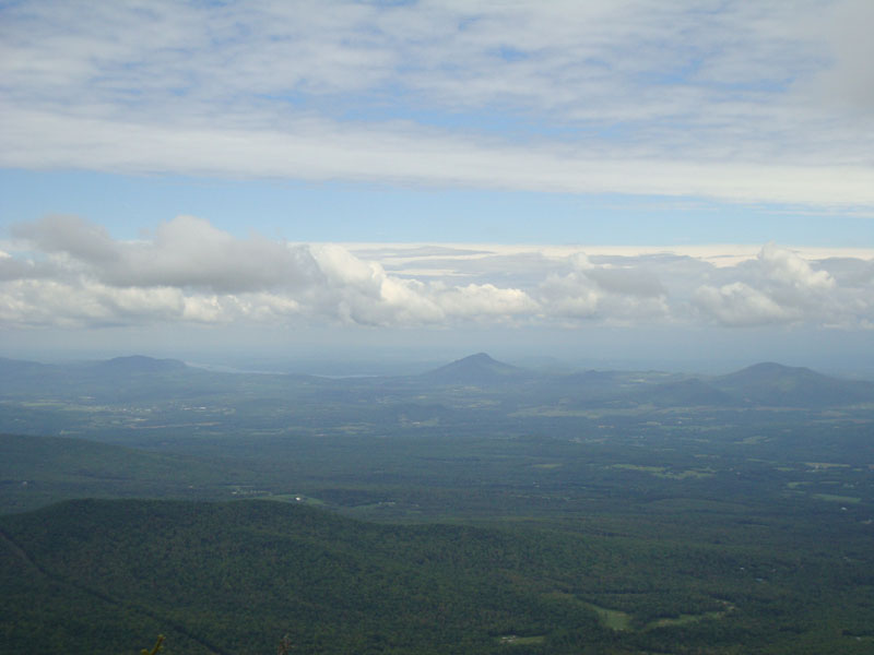
Arriving at the summit, I had excellent, though grey, views in all directions.
The next stop was Big Jay. Following the Long Trail down the Northway ski trail, I followed the blazes around the fence (put up in part to keep skiers from accessing a bootleg ski trail), and started to look for the path to Big Jay. Initially going toward a ski area boundary sign, I later would discover that the best way to access the trail was to walk down the Long Trail a few dozen steps further - the start of the herd path was quite obvious on the left.
The herd path was easy to follow, though extended portions were quite muddy. Nearing Big Jay, there were a few short ledge scrambles - otherwise, it was a pretty gentle walk pitch-wise. Arriving at the wooded summit, I signed into the jar, took a quick look at the top of the bootleg path (I wanted to walk down it a bit, but alas it was posted), then headed back down the herd path - about a minute from the highpoint on the herd path, there are decent directional views of Jay Peak and North Jay.
Walking back to Jay Peak, the summit was now busy with tramway riders. Overhead, the clouds were starting to break up, resulting in some blue sky. Rather than descend the wet ledgy portion of the Long Trail (above and below the ski trail crossing), I followed the ski trail down to the col, then followed a short herd path back to the Long Trail.
| Hike Ratings |
|
Getting To Trailhead: |
Easy |
| Destination: |
Jay Peak |
|
Length: |
Moderate |
|
Steepness: |
Moderate |
|
Navigation: |
Easy |
|
Views: |
Excellent |
|
Crowds: |
Minimal |
| Destination: |
Big Jay |
|
Length: |
Moderate |
|
Steepness: |
Very Difficult |
|
Navigation: |
Difficult |
|
Views: |
Excellent |
|
Crowds: |
Minimal |
| Destination: |
Jay Peak |
|
Length: |
Moderate |
|
Steepness: |
Very Difficult |
|
Navigation: |
Difficult |
|
Views: |
Excellent |
|
Crowds: |
Heavy |
|
| Hike Stats |
|
Date Hiked: |
Saturday, June 12, 2010 |
| Hike Commenced: |
11:41 AM |
| Parking Elevation: |
2,205' |
| Destination: |
Jay Peak |
| Ascent Commenced: |
11:41 AM |
| Summit Reached: |
12:36 PM |
| Time Elapsed: |
00:55 |
| Distance: |
1.6 miles |
| Trailhead Elevation: |
2,205' |
| Summit Elevation: |
3,858' |
| Vertical Gain: |
1,668' |
| Destination: |
Big Jay |
| Ascent Commenced: |
12:39 PM |
| Summit Reached: |
1:25 PM |
| Time Elapsed: |
00:46 |
| Trailhead Elevation: |
3,858' |
| Summit Elevation: |
3,786' |
| Vertical Gain: |
466' |
| Destination: |
Jay Peak |
| Ascent Commenced: |
1:30 PM |
| Summit Reached: |
2:15 AM |
| Time Elapsed: |
00:45 |
| Trailhead Elevation: |
3,786' |
| Summit Elevation: |
3,858' |
| Vertical Gain: |
538' |
|
|
| Hike Ended: |
3:09 PM |
| Hike Time Elapsed: |
3:28 |
| Hike Vertical Gain: |
2,682' |
|

The Long Trail trailhead on Route 242

Looking into Canada from the Jay Peak summit
The start of the herd path (left) from the Long Trail
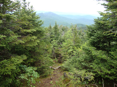
The herd path between peaks
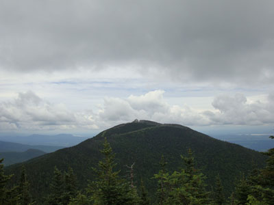
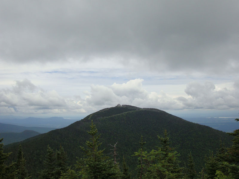
Looking at Jay Peak from near the Big Jay summit

Directions to trailhead: From the town of Jay, take 242 south to the top of the pass. There is a parking lot on the left. The trailhead is just slightly downhill from this, on the right.
Back to Jay Peak Profile
Back to Big Jay Profile
|