Home
States
Colorado
Connecticut
Maine
Massachusetts
New Hampshire
New York
Rhode Island
Utah
Vermont
View All
Lists
NE 4,000 Footers
NE 100 Highest
NH 4,000 Footers
NH 100 Highest
NH 52 With A View
NH Belknap Range
NH Ossipee 10
Links
Trail Conditions
Trip Log
Sunrises
Sunsets
About
|
Killington Peak
Rutland, VT, Killington, VT
Trailheads, measurements, times, distances, and maps are all approximate and relative to the hike(s) as shown below.
Looking up the Bucklin Trail
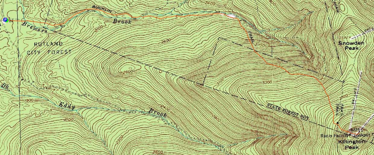
Route: Bucklin Trail, Long Trail, Killington Spur, (Killington Peak), spur trail, (Killington ski area summit), spur trail, (Killington Peak), Killington Peak, Long Trail, Bucklin Trail
With the afternoon off from work, I headed west to check out Killington Peak in winter.
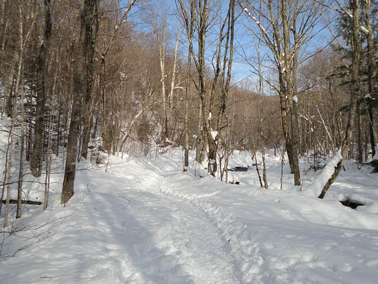
Starting on the Bucklin Trail, we proceeded with care, as the navigation was a little bit confusing - the Catamount cross country ski trail was passing through here, also using blue blazes. In addition, both trails had ski tracks on them. Nonetheless, we were able to follow the correct turns and eventually found ourselves walking alongside Brewers Brook.
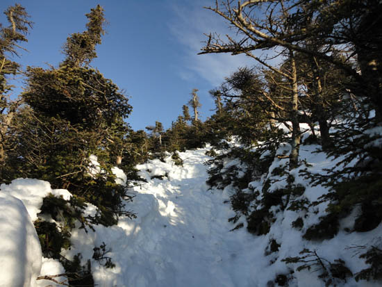
The trail was generally flat for some time, working through nice open woods. A little while after crossing the brook on a nice footbridge, the trail started to climb moderately, eventually reaching softwoods. With warm temperatures, snow and ice were melting out of the trees, turning the woods into a rain storm of sorts.
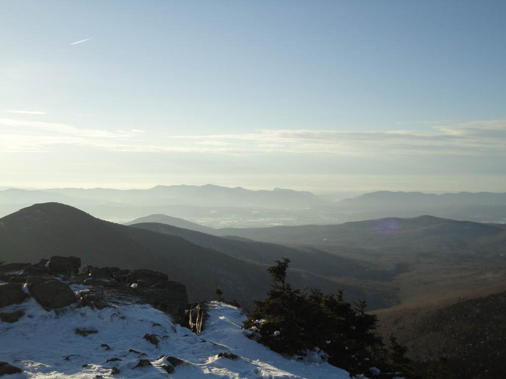
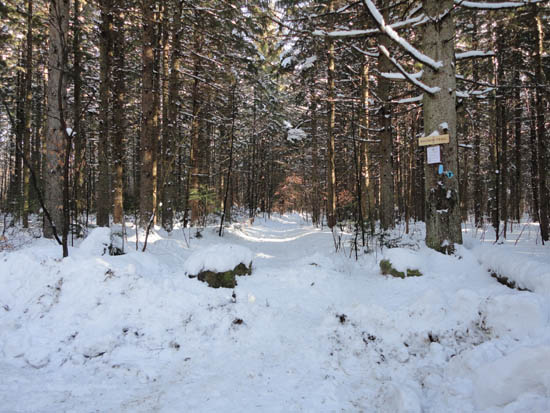
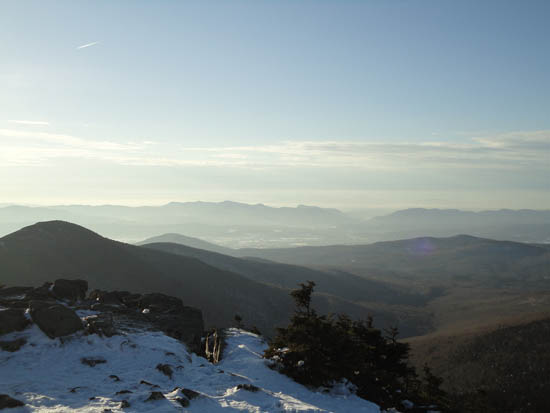
Continuing past Cooper Lodge, we climbed up the steep Killington Spur trail to the windy, open summit, from where we had hazy, but good views in every direction. With the skies having recently cleared out, views to the Whites and northern Greens were not to be had.
After climbing down to the ski area summit lodge for a break, we hiked back over the summit and then enjoyed smooth sailing on our snowshoes back to the trailhead, making it back to the parking lot without needing our headlamps. So long, 2010.
| Hike Ratings |
|
Getting To Trailhead: |
Easy |
| Destination: |
Killington Peak |
|
Length: |
Moderate |
|
Steepness: |
Difficult |
|
Navigation: |
Moderate |
|
Views: |
Excellent |
|
Crowds: |
Moderate |
|
| Hike Stats |
|
Date Hiked: |
Friday, December 31, 2010 |
| Hike Commenced: |
1:11 PM |
| Parking Elevation: |
1,786' |
| Destination: |
Killington Peak |
| Ascent Commenced: |
1:11 PM |
| Summit Reached: |
3:14 PM |
| Time Elapsed: |
02:03 |
| Trailhead Elevation: |
1,786' |
| Summit Elevation: |
4,235' |
| Vertical Gain: |
2,479' |
|
|
| Hike Ended: |
5:06 PM |
| Hike Time Elapsed: |
03:55 |
| Hike Vertical Gain: |
2,589' |
|
The Bucklin Trail trailhead
Looking up the Killington Spur
Looking west from Killington Peak
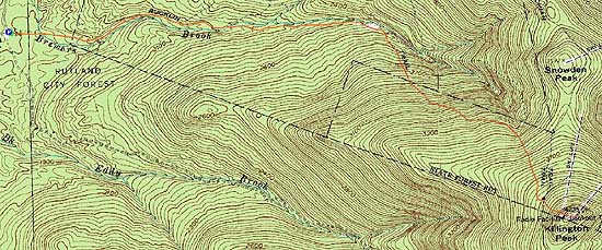

Directions to trailhead: To get to the Bucklin Trail trailhead, take US 4 West from Pico Ski Area. A few minutes downhill, on a right curve, take a left onto Wheelerville Road. The Bucklin Trail parking area will be on the left after few miles on this road at a sharp right turn. The Bucklin Trail starts at the back of this parking lot.
Back to Killington Peak Profile
|