Home
States
Colorado
Connecticut
Maine
Massachusetts
New Hampshire
New York
Rhode Island
Utah
Vermont
View All
Lists
NE 4,000 Footers
NE 100 Highest
NH 4,000 Footers
NH 100 Highest
NH 52 With A View
NH Belknap Range
NH Ossipee 10
Links
Trail Conditions
Trip Log
Sunrises
Sunsets
About
|
Killington Peak
Rutland, VT, Killington, VT
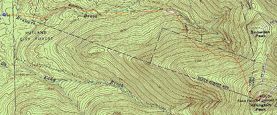
Trailheads, measurements, times, distances, and maps are all approximate and relative to the hike(s) as shown below.
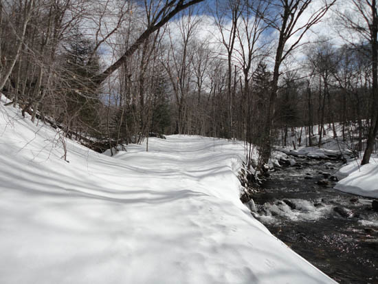
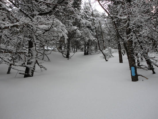
Looking up the Bucklin Trail
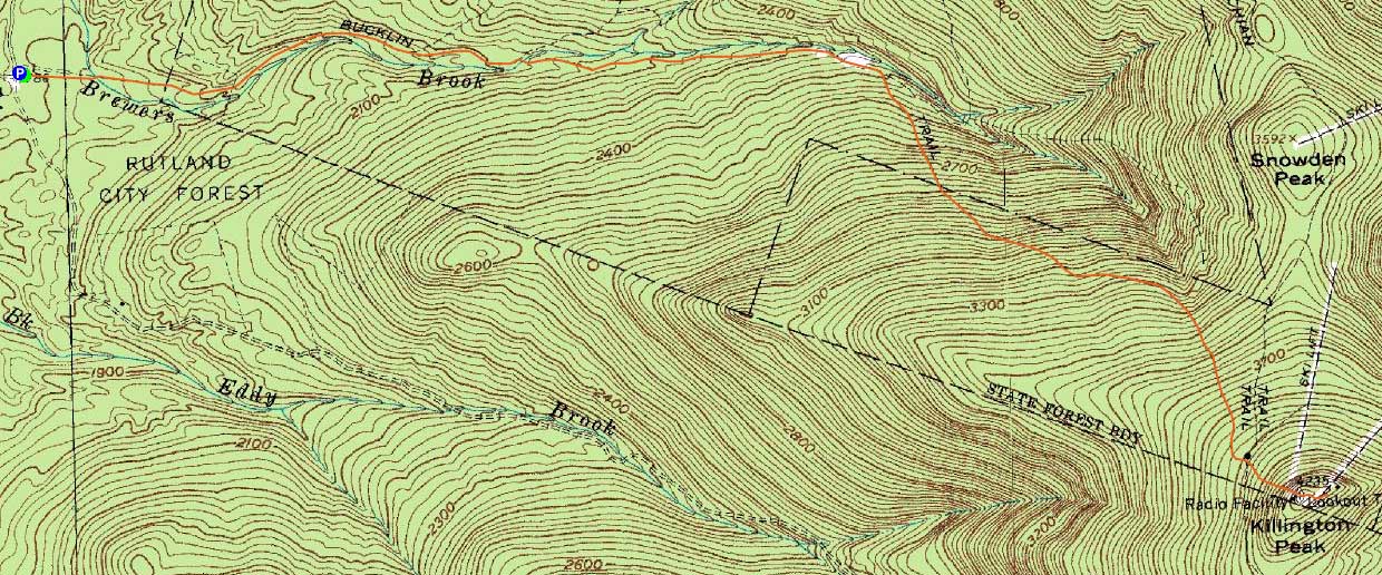
Route: Bucklin Trail, Long Trail, Killington Spur, (Killington Peak), spur trail, (Killington ski area summit), spur trail, (Killington Peak), Killington Peak, Long Trail, Bucklin Trail
While the forecast had originally been for a clear day, clouds and snow flurries still lingered.
The Bucklin Trail had not been used recently, resulting in some trailfinding in the glades, where the trail takes a few turns (without blazes on both sides of trees). That, coupled with ski trails and old blazes in different corridors made for some tricky going. I eventually opted to just go for open woods and soon worked my way to the Cooper Lodge. From there, I headed up the heavily filled in Killington Spur (sign and blazes just barely visible above the snow).
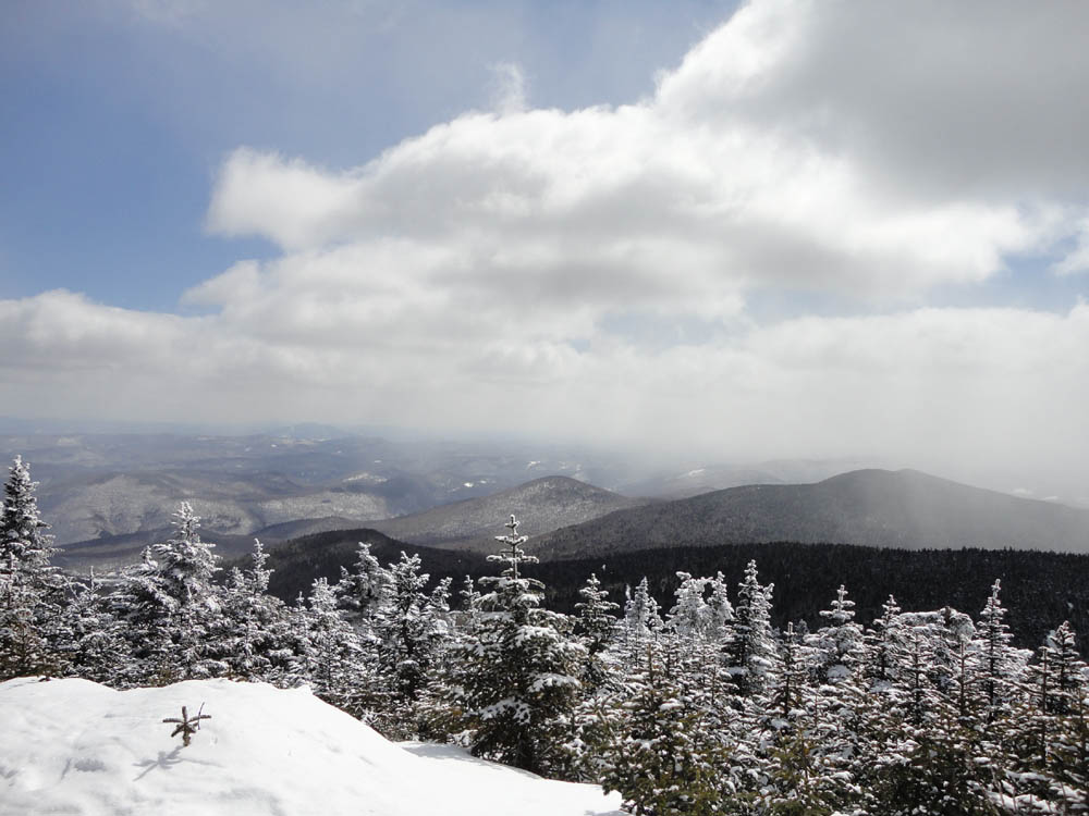
Reaching the summit, there were limited, but decent views of peaks in the immediate area, such as Pico and Mendon. Being that it was lunch time, I continued to the ski area summit lodge for some fried grease, then crossed back over Killington Peak (getting somewhat windy on the ledges at this point), and then back down the Bucklin Trail. While I had planned to do a shorter hike after, the cloudy skies were enough for me to call it a day.
| Hike Ratings |
|
Getting To Trailhead: |
Easy |
| Destination: |
Killington Peak |
|
Length: |
Moderate |
|
Steepness: |
Difficult |
|
Navigation: |
Difficult |
|
Views: |
Excellent |
|
Crowds: |
Moderate |
|
| Hike Stats |
|
Date Hiked: |
Saturday, March 26, 2011 |
| Hike Commenced: |
9:56 AM |
| Parking Elevation: |
1,786' |
| Destination: |
Killington Peak |
| Ascent Commenced: |
9:56 AM |
| Summit Reached: |
11:52 AM |
| Time Elapsed: |
01:56 |
| Trailhead Elevation: |
1,786' |
| Summit Elevation: |
4,235' |
| Vertical Gain: |
2,479' |
|
|
| Hike Ended: |
1:59 PM |
| Hike Time Elapsed: |
04:03 |
| Hike Vertical Gain: |
2,589' |
|
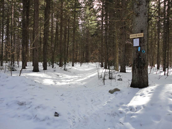
The Bucklin Trail trailhead
Looking up the Killington Spur
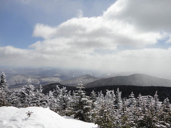
Looking southeast from near the summit of Killington Peak

Directions to trailhead: To get to the Bucklin Trail trailhead, take US 4 West from Pico Ski Area. A few minutes downhill, on a right curve, take a left onto Wheelerville Road. The Bucklin Trail parking area will be on the left after few miles on this road at a sharp right turn. The Bucklin Trail starts at the back of this parking lot. Wheelerville Road and the Bucklin Trail are both subject to spring closures.
Back to Killington Peak Profile
|