Home
States
Colorado
Connecticut
Maine
Massachusetts
New Hampshire
New York
Rhode Island
Utah
Vermont
View All
Lists
NE 4,000 Footers
NE 100 Highest
NH 4,000 Footers
NH 100 Highest
NH 52 With A View
NH Belknap Range
NH Ossipee 10
Links
Trail Conditions
Trip Log
Sunrises
Sunsets
About
|
Mendon Peak, Little Killington, Killington Peak
Mendon, VT, Killington, VT
Trailheads, measurements, times, distances, and maps are all approximate and relative to the hike(s) as shown below.
The logging road leading to the Mendon-Little Killington col
Route: Logging roads, herd paths, ski glades, bushwhacks, Long Trail, J Trail, Killington Spur, Bucklin Trail
The logging road generally used to start the Mendon ascent is literally adjacent (south) to the Bucklin parking lot. The first portion has been driven by pick up trucks, so the options are walking ice tire tracks or breakable crust in the middle. Beyond the cabin, there were some frozen footsteps that ended at the logging landing. Beyond there, it was generally about 2" of 50/50 breakable/firm crust with a little powder on top. I opted to bareboot.
Reaching the forest boundary (red/orange blazed), bear right onto an older logging road (looks like a clearing initially; a more recently used road follows the boundary), which then descends toward the brook. The brook crossings, as mentioned in the water crossing notes, were tricky due to water levels/glade rocks, and navigation. That said, there are yellow signs (facing uphill, presumably to guide lost skiers out) that can be used to spot the other side of the old logging road. The road had some blowdowns, but was generally good walking.
After the top water crossing, I put on snowshoes for better traction, as well as to float on the crust a bit. In the high elevations, there's 3-6" of snow that's completely covered/bonded the ground, so it felt a lot like snowshoeing in April with a good crust. I opted to stick to the road beyond the two herd path cairns, eventually bushwhacking toward Mendon probably around 3500 feet. Rather than attempt to follow the summer herd path, I opted to ascend the north side of the peak and soon found an old ski glade that dumped me in the col between the two peaks. From there, I followed the herd path west to the false summit (view ledge; socked in today) and true summit. Very winter like above 3,500 feet with rime covering everything.
After retracing my steps, I circled around to the east side of the cone in search of the old trail depicted on the maps. Despite zigzagging over it a few times, I found no conclusive evidence of it. Each time I approached the ridge, I ended up in scrappy woods with blowdown, so I eventually stayed on the north side and worked my way toward Little Killington in generally good woods. At about 3800 feet, I cut directly to the summit in generally good woods. The summit itself was scrappy with no views and no recognized marker as far as I could tell.
I then dropped down the north side of the peak in okay woods and connected to the Long Trail, which at that time was untracked and very nice snowshoeing. I met a very large group barebooting southbound on the south side of Killington Peak, apparently en route to a shelter or lean to.
Not wanting to deal with potential ice glazed rocks on the step Killington Spur, I departed from the Long Trail prior to reaching the 4,000 foot contour and headed in a northeastern direction, occasionally following an old ski glade. The woods were good and the terrain moderate (one cliffband was easily avoided), and I soon reached the J Trail (a short trail catered to summer gondola riders), which connected me to the Killington Spur just shy of the windy and socked in summit, where I took off my snowshoes due to encountering rock/ledge.
From there, I descended to the top of the gondola, dropped down to the lower level of the summit lodge, put on my Microspikes, then cut across to the Peak Stairway (for early season skiers; closed now), then followed that to the top of the North Ridge triple chair, then continued cutting west at the top of the ski trail to a cluster of ski area boundary signs, behind which is a gentle trail that leads to Cooper Lodge on the Long Trail.
I then descended the Bucklin Trail, which had a hardpack, somewhat vexing frozen boot tracked surface. Upon reaching the bottom of the steeps, I barebooted the balance of the trail without issue.
| Hike Ratings |
|
Getting To Trailhead: |
Easy |
| Destination: |
Mendon Peak |
|
Length: |
Moderate |
|
Steepness: |
Difficult |
|
Navigation: |
Difficult |
|
Views: |
Excellent |
|
Crowds: |
Minimal |
| Destination: |
Little Killington |
|
Length: |
Moderate |
|
Steepness: |
Moderate |
|
Navigation: |
Difficult |
|
Views: |
Minimal |
|
Crowds: |
Minimal |
| Destination: |
Killington Peak |
|
Length: |
Moderate |
|
Steepness: |
Moderate |
|
Navigation: |
Difficult |
|
Views: |
Excellent |
|
Crowds: |
Heavy |
|
| Hike Stats |
|
Date Hiked: |
Friday, January 1, 2016 |
| Parking Elevation: |
1,786' |
| Destination: |
Mendon Peak |
| Time Elapsed: |
02:41 |
| Trailhead Elevation: |
1,786' |
| Summit Elevation: |
3,840' |
| Vertical Gain: |
2,174' |
| Destination: |
Little Killington |
| Time Elapsed: |
01:12 |
| Trailhead Elevation: |
3,840' |
| Summit Elevation: |
3,939' |
| Vertical Gain: |
459' |
| Destination: |
Killington Peak |
| Time Elapsed: |
00:51 |
| Trailhead Elevation: |
3,939' |
| Summit Elevation: |
4,235' |
| Vertical Gain: |
435' |
|
|
| Hike Time Elapsed: |
06:38 |
| Hike Vertical Gain: |
3,168' |
|
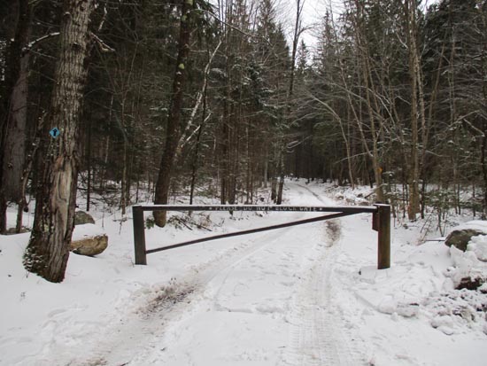
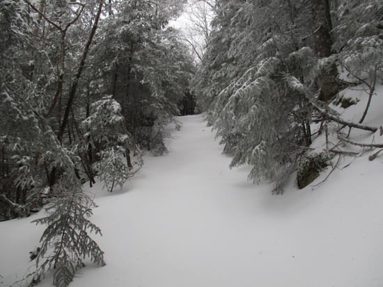
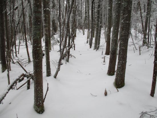
The beginning of the logging road off Wheelerville Road
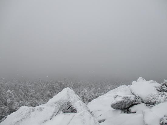
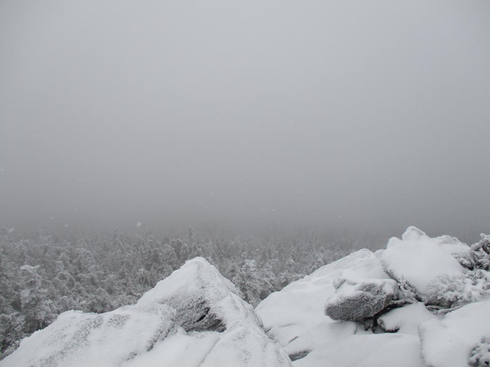
Clouds on the ledgy crag just east of Mendon Peak
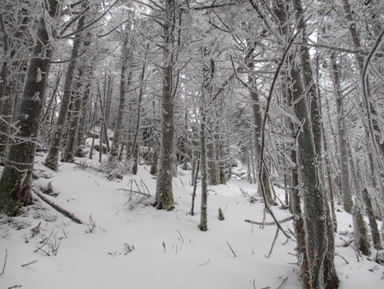
Possible old trail corridor between Mendon and Little Killington
A lack of views on Little Killington
Bushwhacking up Killington Peak
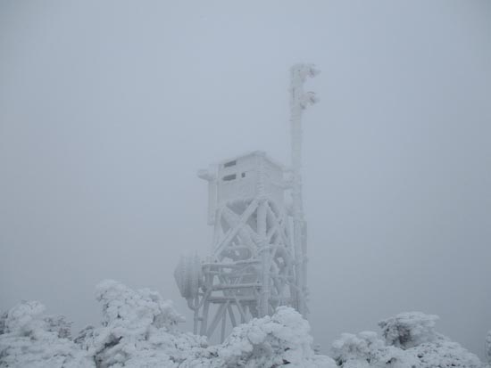
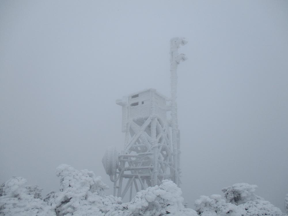
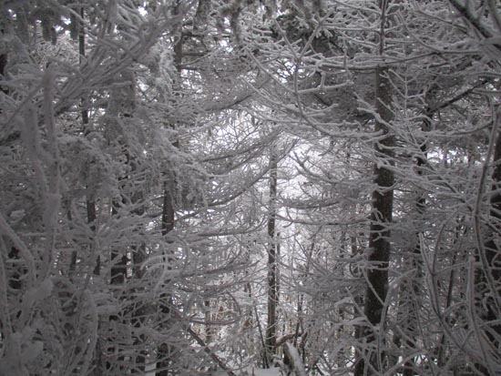
Rime on Killington Peak
Directions to trailhead: To get to the Bucklin Trail trailhead (and adjacent logging road toward Mendon Peak), take US 4 West from Pico Ski Area. A few minutes downhill, on a right curve, take a left onto Wheelerville Road. The Bucklin Trail parking area will be on the left after few miles on this road at a sharp right turn. The gated logging road toward Mendon Peak will be on the left side of this sharp right turn.
Back to Mendon Peak Profile
Back to Little Killington Profile
Back to Killington Peak Profile
|