Home
States
Colorado
Connecticut
Maine
Massachusetts
New Hampshire
New York
Rhode Island
Utah
Vermont
View All
Lists
NE 4,000 Footers
NE 100 Highest
NH 4,000 Footers
NH 100 Highest
NH 52 With A View
NH Belknap Range
NH Ossipee 10
Links
Trail Conditions
Trip Log
Sunrises
Sunsets
About
|
Mt. Peg
Woodstock, VT
Trailheads, measurements, times, distances, and maps are all approximate and relative to the hike(s) as shown below.

The Spruce Trail
Route: Summit Trail, Spruce Trail
Trails were mostly dry.
Nice network of fairly smooth, old trails. Never overly steep due to switchbacks. Near summit views to the northwest-north-northeast (the last tenth or so of the trail is a large field).
| Hike Ratings |
|
Getting To Trailhead: |
Easy |
| Destination: |
Mt. Peg |
|
Length: |
Easy |
|
Steepness: |
Easy |
|
Navigation: |
Easy |
|
Views: |
Excellent |
|
Crowds: |
Moderate |
|
| Hike Stats |
|
Date Hiked: |
Monday, October 22, 2018 |
| Parking Elevation: |
730' |
| Destination: |
Mt. Peg |
| Time Elapsed: |
00:11 |
| Trailhead Elevation: |
740' |
| Summit Elevation: |
1,080' |
| Vertical Gain: |
350' |
|
|
| Hike Time Elapsed: |
00:21 |
| Hike Vertical Gain: |
380' |
|

The Summit Trail trailhead

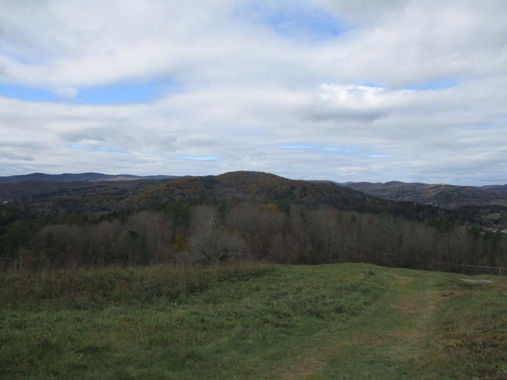
Looking north at Mt. Tom from Mt. Peg
Directions to trailhead: From Woodstock, Take High Street south, then take a left onto Golf Street. The Summit Trail trailhead will soon be on the left, as well as a very small parking area.
Back to Mt. Peg Profile
|