Home
States
Colorado
Connecticut
Maine
Massachusetts
New Hampshire
New York
Rhode Island
Utah
Vermont
View All
Lists
NE 4,000 Footers
NE 100 Highest
NH 4,000 Footers
NH 100 Highest
NH 52 With A View
NH Belknap Range
NH Ossipee 10
Links
Trail Conditions
Trip Log
Sunrises
Sunsets
About
|
Bald Knob, Turtleback Mountain
Moultonborough, NH, Tuftonboro, NH
Trailheads, measurements, times, distances, and maps are all approximate and relative to the hike(s) as shown below.
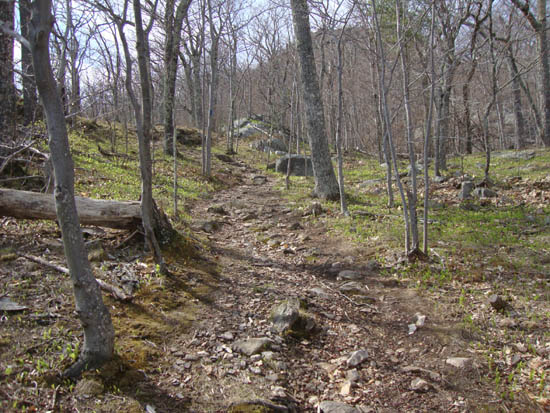
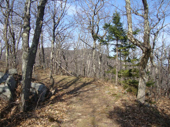
Looking up the Bald Knob Trail near the first viewpoint
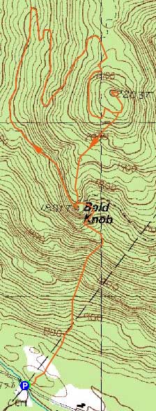
Route: Bald Knob Trail, (Bald Knob), Bald Knob Trail, Turtleback Mountain Trail, Turtleback Mountain Summit Trail, (Turtleback Mountain), Turtleback Mountain Summit Trail, herd path, Bald Knob Trail
Initially jogging up the steep, rough Bald Knob Trail, I decided to walk upon reaching the rare Hepatica wild flower patches. After a brief stop on Bald Knob, I jogged along the gradual carriage roads up to Turtleback. From near the top of Turtleback Mountain, I followed a herd path back down to Bald Knob, and then headed back to Route 171.
| Hike Ratings |
|
Getting To Trailhead: |
Easy |
| Destination: |
Bald Knob |
|
Length: |
Moderate |
|
Steepness: |
Difficult |
|
Navigation: |
Easy |
|
Views: |
Excellent |
|
Crowds: |
Minimal |
| Destination: |
Turtleback Mountain |
|
Length: |
Moderate |
|
Steepness: |
Easy |
|
Navigation: |
Easy |
|
Views: |
Excellent |
|
Crowds: |
Minimal |
|
| Hike Stats |
|
Date Hiked: |
Monday, May 2, 2011 |
| Parking Elevation: |
710' |
| Destination: |
Bald Knob |
| Time Elapsed: |
00:29 |
| Trailhead Elevation: |
710' |
| Summit Elevation: |
1,801' |
| Distance: |
1.1 miles |
| Vertical Gain: |
1,116' |
| Destination: |
Turtleback Mountain |
| Time Elapsed: |
00:30 |
| Trailhead Elevation: |
1,801' |
| Summit Elevation: |
2,203' |
| Distance: |
2 miles |
| Vertical Gain: |
548' |
|
|
| Hike Time Elapsed: |
01:59 |
| Hike Vertical Gain: |
1,729' |
|
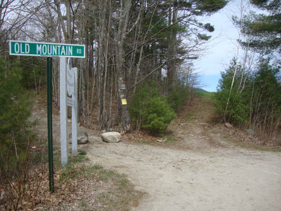
Bald Knob Trail trailhead
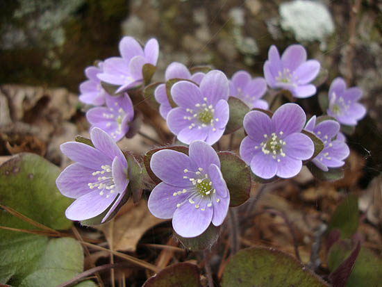
Hepatica near the ledgy area prior to the first viewpoint on the Bald Knob Trail
Looking at Belknap Range from Bald Knob
The Turtleback Mountain Summit Trail
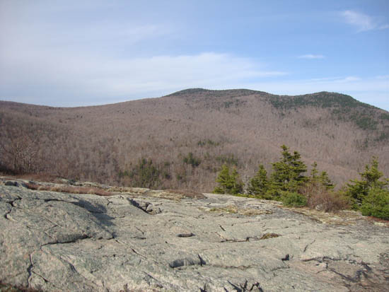
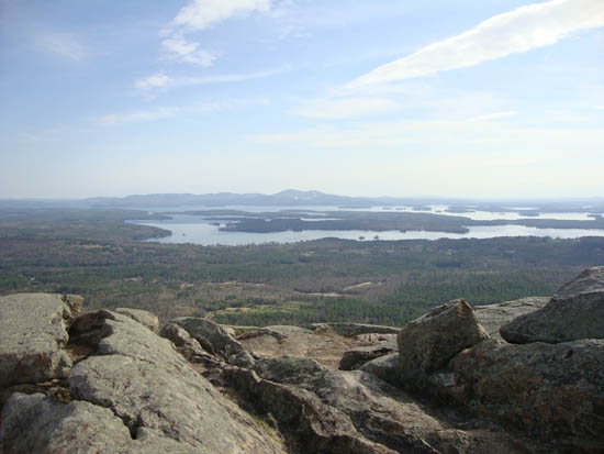
Mt. Shaw as seen from Turtleback Mountain

Directions to trailhead: Take Route 109 South from Route 25. Bear left onto Route 171. Shortly after the main Castle in the Clouds entrance, you will arrive at the Moultonboro/Tuftonboro border. The trailhead is next to the Welcome to Moultonborough sign.
Back to Bald Knob Profile
Back to Turtleback Mountain Profile
|


