Home
States
Colorado
Connecticut
Maine
Massachusetts
New Hampshire
New York
Rhode Island
Utah
Vermont
View All
Lists
NE 4,000 Footers
NE 100 Highest
NH 4,000 Footers
NH 100 Highest
NH 52 With A View
NH Belknap Range
NH Ossipee 10
Links
Trail Conditions
Trip Log
Sunrises
Sunsets
About
|
Gunstock Mountain, Belknap Mountain, Piper Mountain
Gilmanton, NH, Gilford, NH
Trailheads, measurements, times, distances, and maps are all approximate and relative to the hike(s) as shown below.
Looking up the Gunstock Mountain Trail
Route: Carriage Road, Gunstock Mountain Trail, (Gunstock Mountain), Saddle Trail, Blue Trail, (Belknap Mountain), White Trail, Old Piper Trail, Piper-Whiteface Link, (Piper Mountain), Piper-Whiteface Link, Vista Trail, Piper-Whiteface Link, (Piper Mountain), Piper-Whiteface Link, Old Piper Trail, White Trail, Carriage Road
Trails were generally dry with some areas of minor mud and avoidable wet ledge remaining from Friday's rain.
While there are still a lot of green leaves in the region, the foliage along the trails is quite nice. Perhaps the nicest portion is the Vista Trail (south ridge of Piper). The southern ledges along the trail also have a sunset perspective (and will through the end of the year, as the sunset progresses south).
| Hike Ratings |
|
Getting To Trailhead: |
Easy |
| Destination: |
Gunstock Mountain |
|
Length: |
Moderate |
|
Steepness: |
Moderate |
|
Navigation: |
Easy |
|
Views: |
Excellent |
|
Crowds: |
Minimal |
| Destination: |
Belknap Mountain |
|
Length: |
Moderate |
|
Steepness: |
Moderate |
|
Navigation: |
Moderate |
|
Views: |
Excellent |
|
Crowds: |
Minimal |
| Destination: |
Piper Mountain |
|
Length: |
Moderate |
|
Steepness: |
Moderate |
|
Navigation: |
Easy |
|
Views: |
Excellent |
|
Crowds: |
Minimal |
|
| Hike Stats |
|
Date Hiked: |
Monday, October 12, 2015 |
| Parking Elevation: |
1,030' |
| Destination: |
Gunstock Mountain |
| Time Elapsed: |
00:24 |
| Trailhead Elevation: |
1,020' |
| Summit Elevation: |
2,245' |
| Vertical Gain: |
1,225' |
| Destination: |
Belknap Mountain |
| Time Elapsed: |
00:19 |
| Trailhead Elevation: |
2,245' |
| Summit Elevation: |
2,382' |
| Vertical Gain: |
407' |
| Destination: |
Piper Mountain |
| Time Elapsed: |
00:29 |
| Trailhead Elevation: |
2,382' |
| Summit Elevation: |
2,044' |
| Vertical Gain: |
344' |
|
|
| Hike Time Elapsed: |
02:46 |
| Hike Vertical Gain: |
2,011' |
|
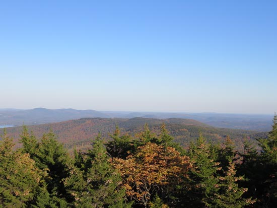
Looking at the Ossipees from Gunstock Mountain
The Blue Trail on the way to Belknap Mountain
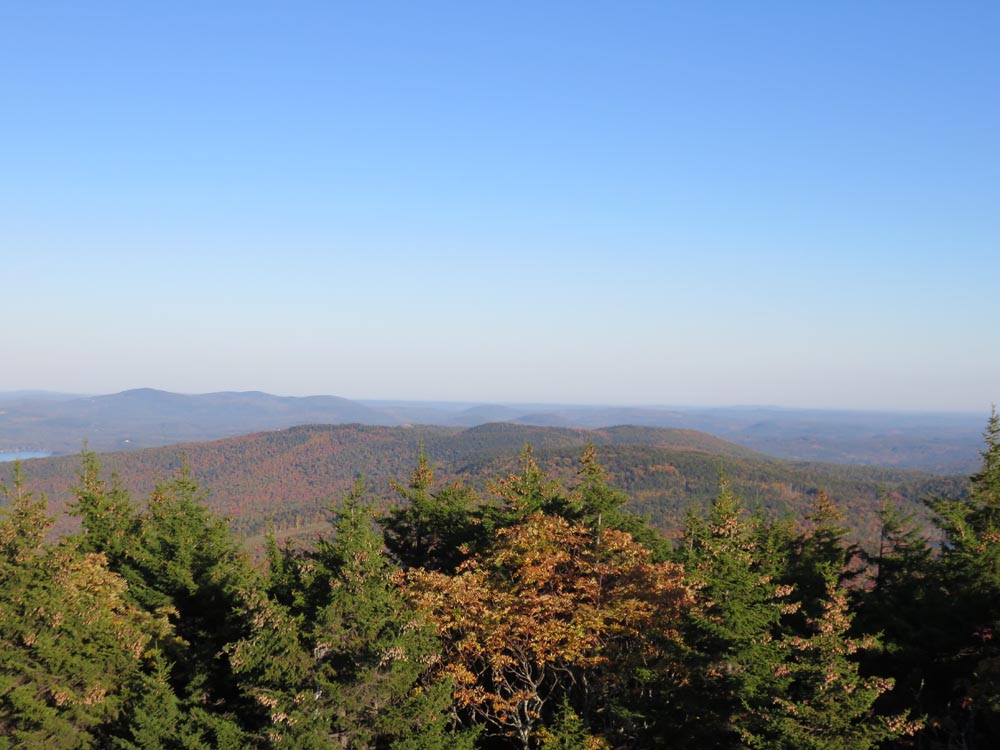
Looking at eastern Belknaps and Copple Crown from the Belknap Mountain fire tower
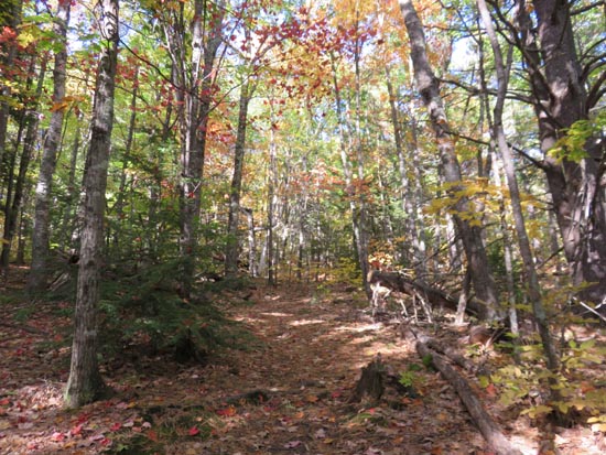
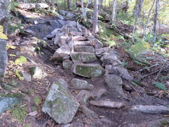
The White Trail between Belknap Mountain and Piper Mountain
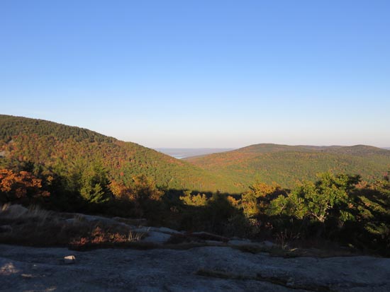
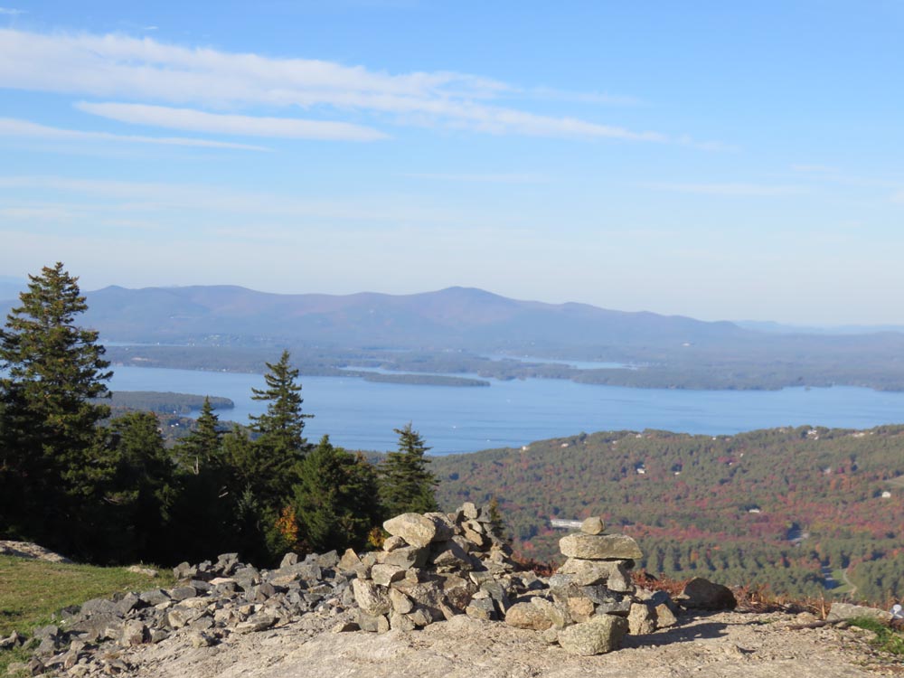
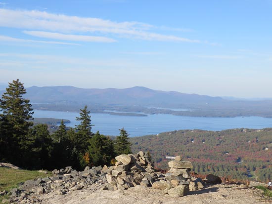
Looking at Lake Winnipesaukee from Piper Mountain
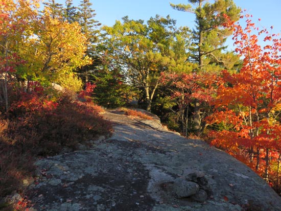
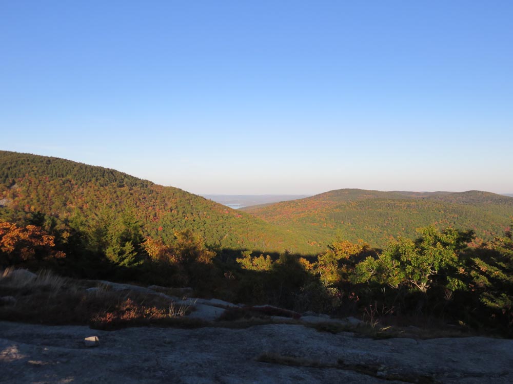
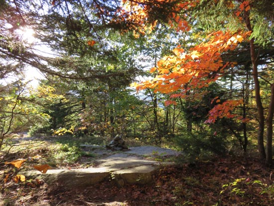
The Vista Trail
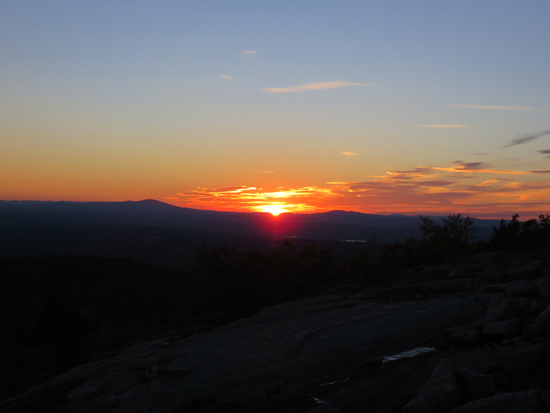
The sunset from the southern Piper Mountain ledges
Directions to trailhead: From Route 11A East (from Route 3), take a right on Hoyt Road. Continue down this road as it becomes Belknap Mountain Road. Look for Carriage Road on your left - offseason parking is at the gate.
Back to Gunstock Mountain Profile
Back to Belknap Mountain Profile
Back to Piper Mountain Profile
|