Home
States
Colorado
Connecticut
Maine
Massachusetts
New Hampshire
New York
Rhode Island
Utah
Vermont
View All
Lists
NE 4,000 Footers
NE 100 Highest
NH 4,000 Footers
NH 100 Highest
NH 52 With A View
NH Belknap Range
NH Ossipee 10
Links
Trail Conditions
Trip Log
Sunrises
Sunsets
About
|
Mt. Mary, Pilot Range (Middle Peak), Pilot Range (West Peak), Hutchins Mountain
Lancaster, NH, Stark, NH, Kilkenny, NH
Trailheads, measurements, times, distances, and maps are all approximate and relative to the hike(s) as shown below.
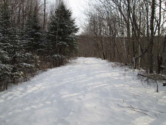
Looking up the logging road on the way to Mt. Mary
Route: Logging road, unnamed trail, (Mt. Mary), unnamed trail, bushwhack, (Pilot Range - Middle Peak), bushwhack, (Pilot Range - West Peak), bushwhack, (Hutchins Mountain), bushwhack, (Pilot Range - Middle Peak), bushwhack, unnamed trail, logging road
Starting at a private residence, we headed up a field to an old logging road, which eventually became a foot path. After reaching the wooded summit of Mt. Mary, we doubled back to the col, where we took a break. We then continued to backtrack on the trail, then bushwhacked through open woods to Middle Pilot.
We continued through decent woods to West Pilot, then dropped down and attempted to stay on the ridge or east of the ridge when possible, eventually running into good moose paths. We then hopped onto another ridge and followed a good line up to the near-summit view and to the highpoint. After that, we followed a herd path to the south side of the peak, where there were excellent views from a bit of a ledge.
For the return trip, we retraced or steps (though skirted to the east of West Pilot) through the woods, then dropped onto the trail for the walk out.
| Hike Ratings |
|
Getting To Trailhead: |
Moderate |
| Destination: |
Mt. Mary |
|
Length: |
Moderate |
|
Steepness: |
Moderate |
|
Navigation: |
Moderate |
|
Views: |
Excellent |
|
Crowds: |
Minimal |
| Destination: |
Pilot Range (Middle Peak) |
|
Length: |
Moderate |
|
Steepness: |
Moderate |
|
Navigation: |
Very Difficult |
|
Views: |
Minimal |
|
Crowds: |
Minimal |
| Destination: |
Pilot Range (West Peak) |
|
Length: |
Moderate |
|
Steepness: |
Moderate |
|
Navigation: |
Very Difficult |
|
Views: |
Minimal |
|
Crowds: |
Minimal |
| Destination: |
Hutchins Mountain |
|
Length: |
Difficult |
|
Steepness: |
Difficult |
|
Navigation: |
Very Difficult |
|
Views: |
Excellent |
|
Crowds: |
Minimal |
|
| Hike Stats |
|
Date Hiked: |
Saturday, January 18, 2014 |
| Parking Elevation: |
1,250' |
| Destination: |
Mt. Mary |
| Time Elapsed: |
01:49 |
| Trailhead Elevation: |
1,300' |
| Summit Elevation: |
3,570' |
| Vertical Gain: |
2,370' |
| Destination: |
Pilot Range (Middle Peak) |
| Time Elapsed: |
00:46 |
| Trailhead Elevation: |
3,570' |
| Summit Elevation: |
3,615' |
| Vertical Gain: |
285' |
| Destination: |
Pilot Range (West Peak) |
| Time Elapsed: |
00:24 |
| Trailhead Elevation: |
3,615' |
| Summit Elevation: |
3,530' |
| Vertical Gain: |
160' |
| Destination: |
Hutchins Mountain |
| Time Elapsed: |
01:23 |
| Trailhead Elevation: |
3,530' |
| Summit Elevation: |
3,730' |
| Vertical Gain: |
580' |
|
|
| Hike Time Elapsed: |
08:04 |
| Hike Vertical Gain: |
4,120' |
|
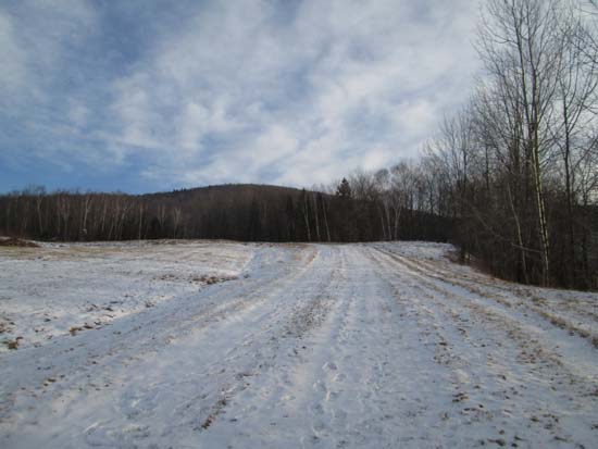
Near the start of the logging road off Herman Savage Road
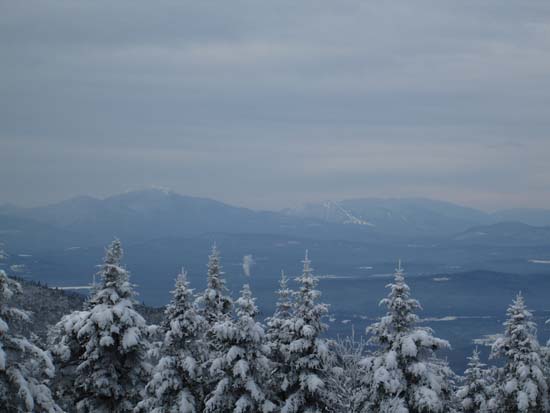
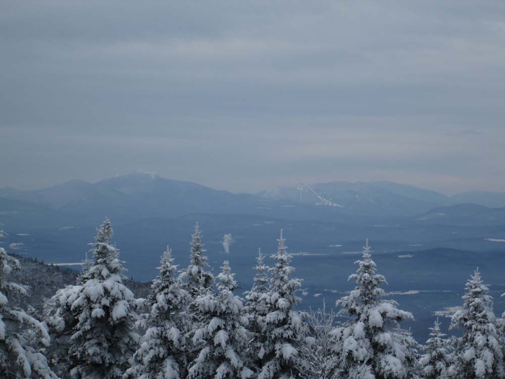
Franconia Notch as seen from the col north of Mt. Mary
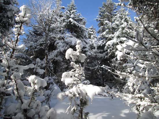
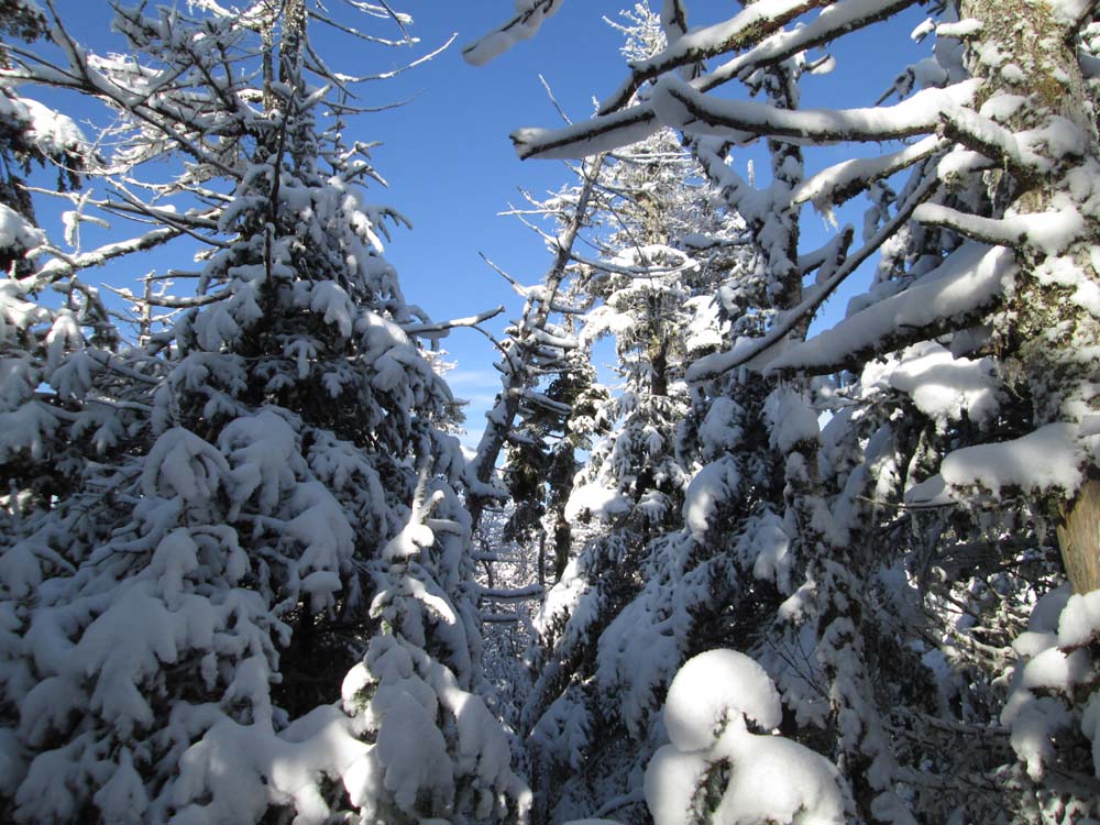
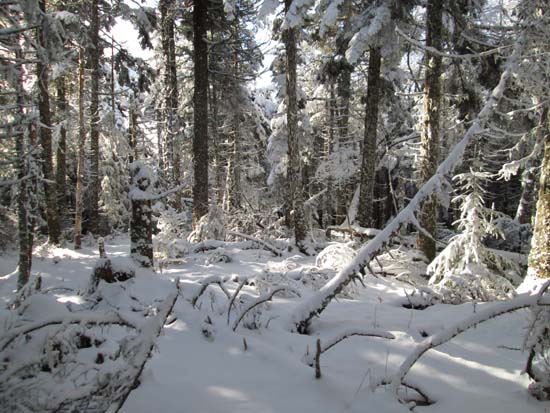
Bushwhacking to Middle Pilot Range

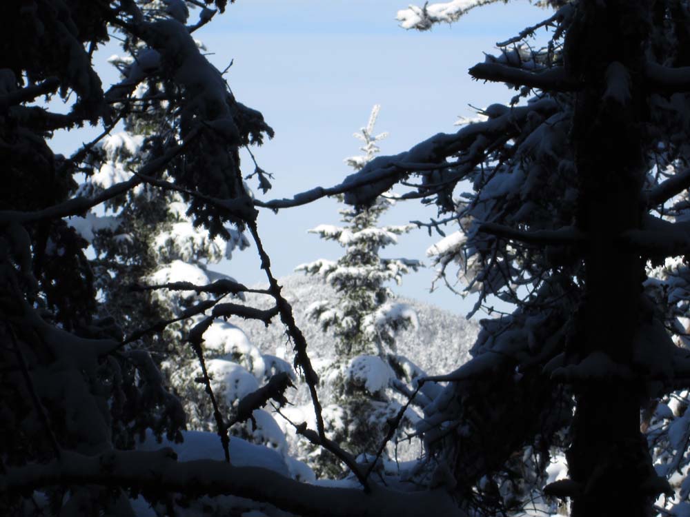
A lack of views on Middle Pilot Range
Bushwhacking to West Pilot Range
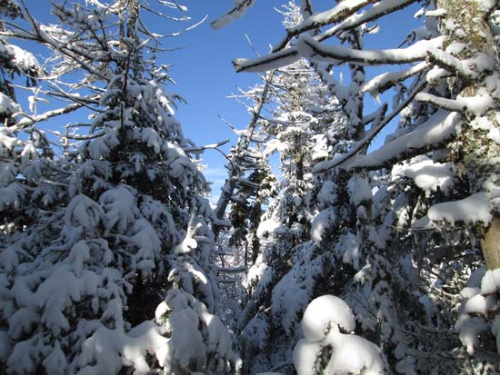
A lack of views from Middle Pilot Range
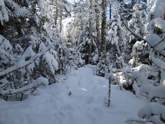
Moose paths on the way to Hutchins Mountain
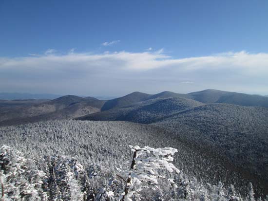
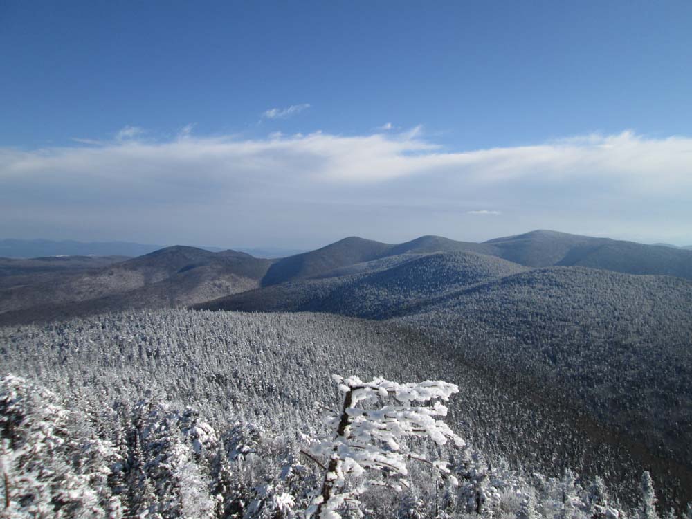
Unknown Pond Peak, The Horn, The Bulge, Mt. Cabot (background) and the Pilot Range as seen from the southern Hutchins ledges
Directions to trailhead: An old logging road departs from Herman Savage Road (off Lost Nation Road east of Lancaster). The landowner at the end of Herman Savage Road may grant foot access to this private logging road if asked.
Back to Mt. Mary Profile
Back to Pilot Range (Middle Peak) Profile
Back to Pilot Range (West Peak) Profile
Back to Hutchins Mountain Profile
|