Home
States
Colorado
Connecticut
Maine
Massachusetts
New Hampshire
New York
Rhode Island
Utah
Vermont
View All
Lists
NE 4,000 Footers
NE 100 Highest
NH 4,000 Footers
NH 100 Highest
NH 52 With A View
NH Belknap Range
NH Ossipee 10
Links
Trail Conditions
Trip Log
Sunrises
Sunsets
About
|
Mt. Mary
Stark, NH
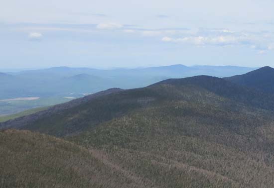
Mt. Mary as seen from The Horn
 Summary Summary
Located north of Mt. Cabot, the East Peak of the Pilot Range was named Mt. Mary after the wife of the summit property owner. A private trail ascends from the northwest side of the peak.
Summit Elevation
3,570 feet
Summit Facilities
None.
Trip Reports:
Click on the date for photos, timestamps, and maps.
More Information
|
