Home
States
Colorado
Connecticut
Maine
Massachusetts
New Hampshire
New York
Rhode Island
Utah
Vermont
View All
Lists
NE 4,000 Footers
NE 100 Highest
NH 4,000 Footers
NH 100 Highest
NH 52 With A View
NH Belknap Range
NH Ossipee 10
Links
Trail Conditions
Trip Log
Sunrises
Sunsets
About
|
The Horn, The Bulge, Mt. Mary, Pilot Range (Middle Peak), Pilot Range (West Peak), Hutchins Mountain
Stark, NH, Kilkenny, NH
Trailheads, measurements, times, distances, and maps are all approximate and relative to the hike(s) as shown below.
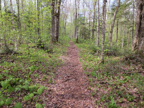
Looking up the Unknown Pond Trail
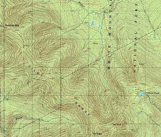
Route: Unknown Pond Trail, Kilkenny Ridge Trail, Horn Spur, (The Horn), Horn Spur, Kilkenny Ridge, (The Bulge), bushwhack, unnamed trail, (Mt. Mary), unnamed trail, bushwhack, (Pilot Range - Middle Peak), bushwhack, (Pilot Range - West Peak), bushwhack, (Hutchins Mountain), bushwhack, Mill Brook Road
We freestyled this one as we went, making a parking area decision to ascend via the trails. Unknown Pond Trail north was generally dry, except for the normally wet areas down low. Kilkenny Ridge Trail was also generally dry, though there were a few tiny patches of snow (not enough for more than a few snowballs). Nice views from the Horn.
After reaching the Bulge summit, we backtracked maybe 100 feet and headed into the woods, generally staying on the height of land toward Mt. Mary (Pilot East). The woods were generally open, with the exception of some avoidable blowdown. Many moose paths.
Just before Mary, we hit the private trail which led up to the summit and toward the col (good directional views in this vicinity). We followed this for awhile longer, then headed up to Middle Pilot in generally open woods.
We then continued along the ridge, still in decent woods, to West Pilot. Soon thereafter, the going was less than optimal. We used an old logging road and a herd path on the west side briefly, but then climbed back up to the height of land as to not lose more vertical. Some patches of thick spruce and blowdown and then some patches of open woods. A little bit of a cliff band to navigate prior to Hutchins proper. Decent directional view northeast from near the recognized summit.
Not wanting to go through that junk again, we dropped into the drainage to the north of the peak and had generally open woods for awhile. We then hit really tall hobblebush, which left us covered in pollen. We sometimes had a nice moose herdpath near the brooks and other times nothing. We popped out at the clearcut at the end of Mill Brook Road, just as the rain started. Nice view back at the ridge from this clearing.
| Hike Ratings |
|
Getting To Trailhead: |
Easy |
| Destination: |
The Horn |
|
Length: |
Moderate |
|
Steepness: |
Very Difficult |
|
Navigation: |
Easy |
|
Views: |
Minimal |
|
Crowds: |
Minimal |
| Destination: |
The Bulge |
|
Length: |
Moderate |
|
Steepness: |
Very Difficult |
|
Navigation: |
Easy |
|
Views: |
Excellent |
|
Crowds: |
Minimal |
| Destination: |
Mt. Mary |
|
Length: |
Difficult |
|
Steepness: |
Moderate |
|
Navigation: |
Very Difficult |
|
Views: |
Excellent |
|
Crowds: |
Minimal |
| Destination: |
Pilot Range (Middle Peak) |
|
Length: |
Difficult |
|
Steepness: |
Moderate |
|
Navigation: |
Very Difficult |
|
Views: |
Minimal |
|
Crowds: |
Minimal |
| Destination: |
Pilot Range (West Peak) |
|
Length: |
Difficult |
|
Steepness: |
Moderate |
|
Navigation: |
Very Difficult |
|
Views: |
Minimal |
|
Crowds: |
Minimal |
| Destination: |
Hutchins Mountain |
|
Length: |
Difficult |
|
Steepness: |
Difficult |
|
Navigation: |
Very Difficult |
|
Views: |
Excellent |
|
Crowds: |
Minimal |
|
| Hike Stats |
|
Date Hiked: |
Sunday, May 19, 2013 |
| Parking Elevation: |
1,755' |
| Destination: |
The Horn |
| Time Elapsed: |
02:03 |
| Trailhead Elevation: |
1,755' |
| Summit Elevation: |
3,905' |
| Vertical Gain: |
2,380' |
| Destination: |
The Bulge |
| Time Elapsed: |
00:21 |
| Trailhead Elevation: |
3,905' |
| Summit Elevation: |
3,950' |
| Vertical Gain: |
300' |
| Destination: |
Mt. Mary |
| Time Elapsed: |
01:38 |
| Trailhead Elevation: |
3,950' |
| Summit Elevation: |
3,570' |
| Vertical Gain: |
440' |
| Destination: |
Pilot Range (Middle Peak) |
| Time Elapsed: |
00:46 |
| Trailhead Elevation: |
3,570' |
| Summit Elevation: |
3,615' |
| Vertical Gain: |
285' |
| Destination: |
Pilot Range (West Peak) |
| Time Elapsed: |
00:23 |
| Trailhead Elevation: |
3,615' |
| Summit Elevation: |
3,530' |
| Vertical Gain: |
160' |
| Destination: |
Hutchins Mountain |
| Time Elapsed: |
01:15 |
| Trailhead Elevation: |
3,530' |
| Summit Elevation: |
3,730' |
| Vertical Gain: |
580' |
|
|
| Hike Time Elapsed: |
09:55 |
| Hike Vertical Gain: |
4,145' |
|
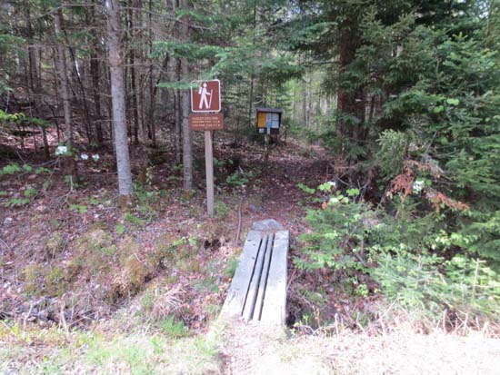
The Unknown Pond Trail trailhead
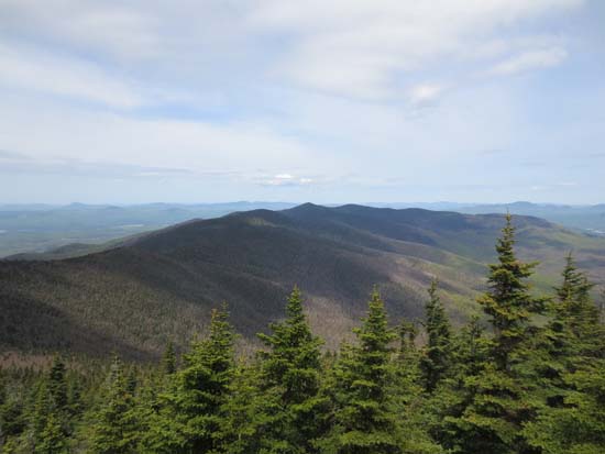
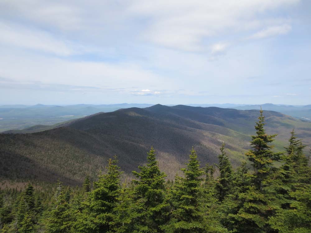
The Pilot Range as seen from the Horn
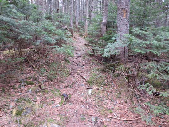
The Kilkenny Ridge Trail to The Bulge
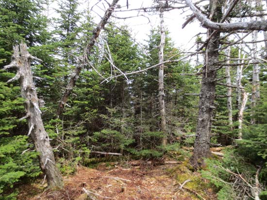
The lack of views from the Bulge
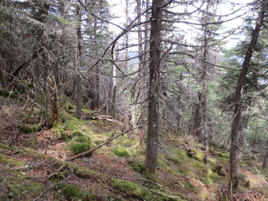
Bushwhacking to Mt. Mary
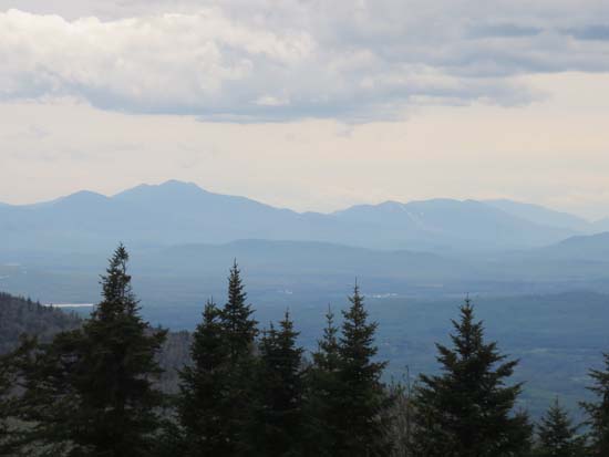
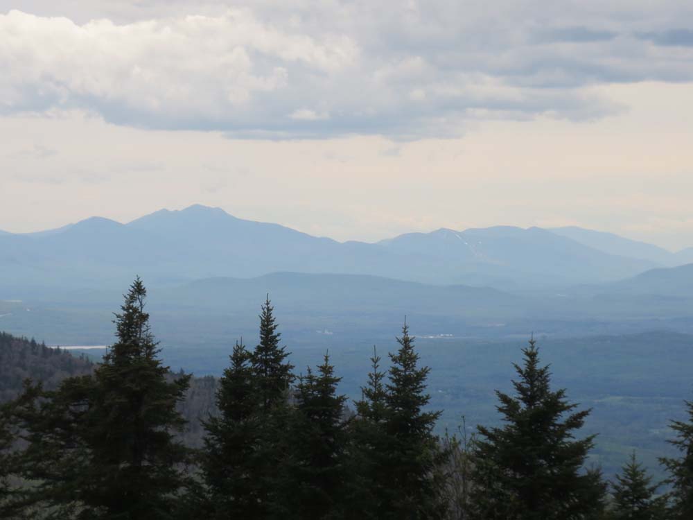
Franconia Notch as seen from the col north of Mt. Mary
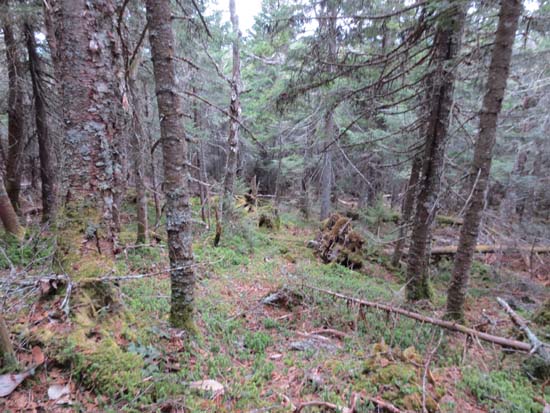
Using the trail for part of the way to Middle Pilot Range
A lack of views on Middle Pilot Range
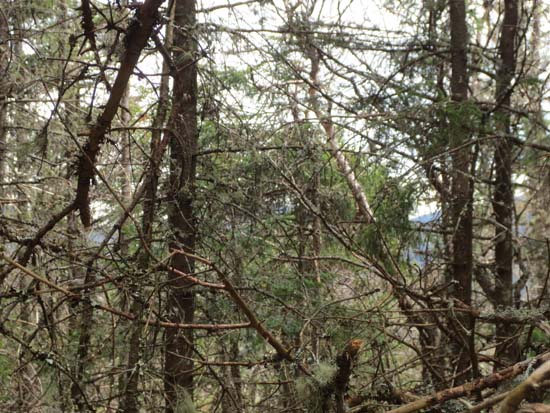
Bushwhacking to West Pilot Range

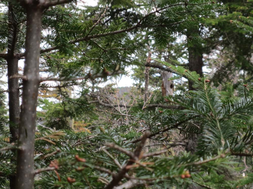
A lack of views toward Hutchins Mountain from Middle Pilot Range
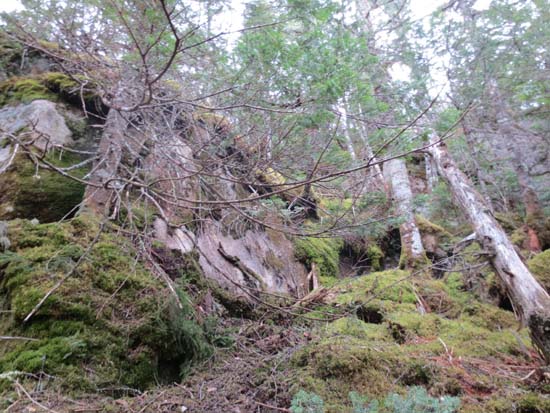
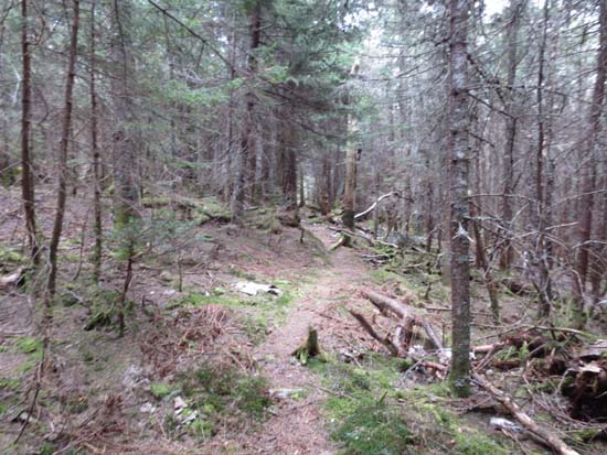
Approaching the summit of Hutchins Mountain
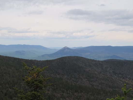
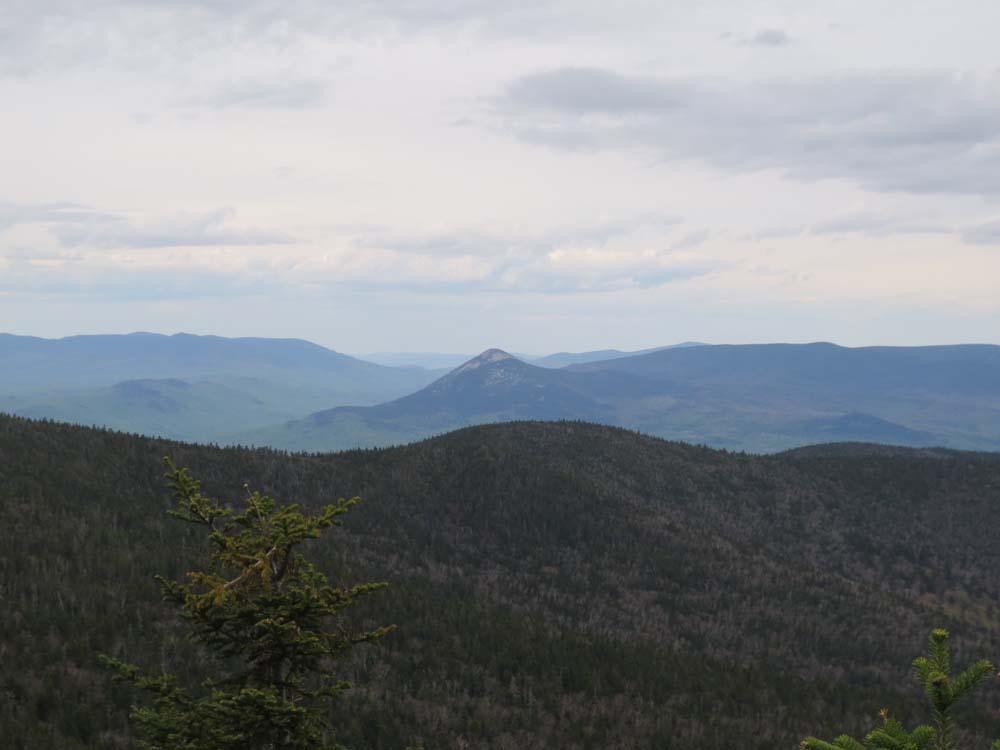
The Percy Peaks as seen from Hutchins Mountain

Directions to trailhead: Take 110 West from Berlin to Stark. Take a left onto Mill Brook Road. The Unknown Pond Trail trailhead will eventually be on the left, just before the second one-lane bridge, with some room for roadside parking on either end of the bridge.
Back to The Horn Profile
Back to The Bulge Profile
Back to Mt. Mary Profile
Back to Pilot Range (Middle Peak) Profile
Back to Pilot Range (West Peak) Profile
Back to Hutchins Mountain Profile
|